Before and after assimilating EarthCARE radar data
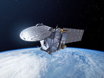
ESA’s EarthCARE satellite was developed to make a unique set of simultaneous measurements that shed new light on the role that clouds and aerosols play in regulating Earth’s climate. Now, in a remarkable example of a research mission delivering direct practical benefits, global observations from the satellite’s cloud profiling radar are being used operationally by the European Centre for Medium-Range Weather Forecasts to improve daily weather forecasts – this landmark achievement marks the first time that cloud radar data from space have been assimilated into a global weather forecasting system.
The plots show radar reflectivity along the satellite track on 10 June 2026 before and after EarthCARE data were assimilated into the model. The EarthCARE cloud profiling radar observations help improve the location and intensity of storms in the intertropical convergence zone, which lies north of the equator during northern hemisphere summer. Lower reflectivity values indicate ice clouds and light rain, while higher values indicate heavy rain and snow. A particularly intense thunderstorm near 27°N, with cloud tops extending above 18 km, is represented much more accurately after assimilation, both horizontally and vertically. In other areas, the model was already in good agreement with the observations, so the impact of assimilation is less noticeable.
Read full story: A first: EarthCARE cloud data sharpen weather forecasts