Greece continues to battle wildfires
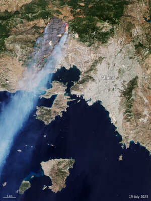
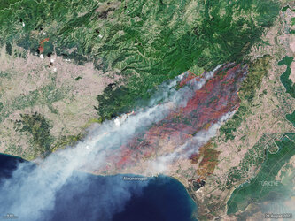
Captured on 2 August 2026, this Copernicus Sentinel-2 image shows the wildfires near Porto Germeno, about 70 km northwest of Athens, Greece. The image has been processed by combining natural colour bands with shortwave-infrared information to highlight the active fire front at the time of acquisition.
Thick billowing smoke is visible in the image blowing southeast towards the Saronic Gulf. The burn scars left across the land can be identified as grey areas, mainly along the shore of the Gulf of Corinth.
In response to the wildfires, the Copernicus Emergency Mapping Service was activated. The service uses satellite observations to help civil protection authorities and, in cases of disaster, the international humanitarian community, respond to emergencies.
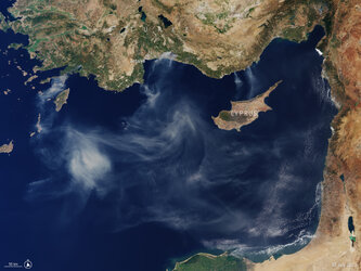
On the same day, Copernicus Sentinel-3 acquired a wider view of the area revealing the extent of the smoke plume from the wildfires.
From orbit, Earth-observing satellites offer a unique way of tracking the spread of fires and the extent of smoke plumes, as well as supporting emergency crews battling the blazes on the ground.
Read here for more Earth observation images showing the effects of extreme heat in 2026: Wildfires, drought and extreme heat, 2026