Science & Exploration
Craters on the Moon
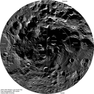
The Moon’s surface is riddled with craters, creating hazardous terrain for lunar landings. To identify safe touchdown zones, we need to map these craters, from the largest to the smallest. NASA’s Lunar Reconnaissance Orbiter has been scanning the Moon since 2009, producing millions of images. This image shows a 1.25 x 1.27 km patch of the Moon near 44.12°N, 307.80°E. This 1024 x 1024-pixel tile is an extract from image M1219279265LC, captured by the narrow angle camera of NASA’s Lunar Reconnaissance Orbiter. The full image measures 52,224 x 5064 pixels and covers an area of around 400 km2.