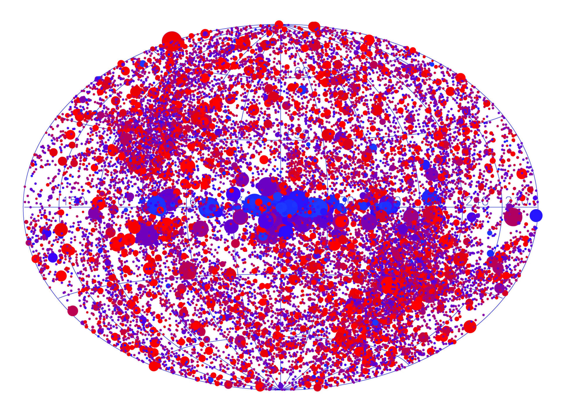
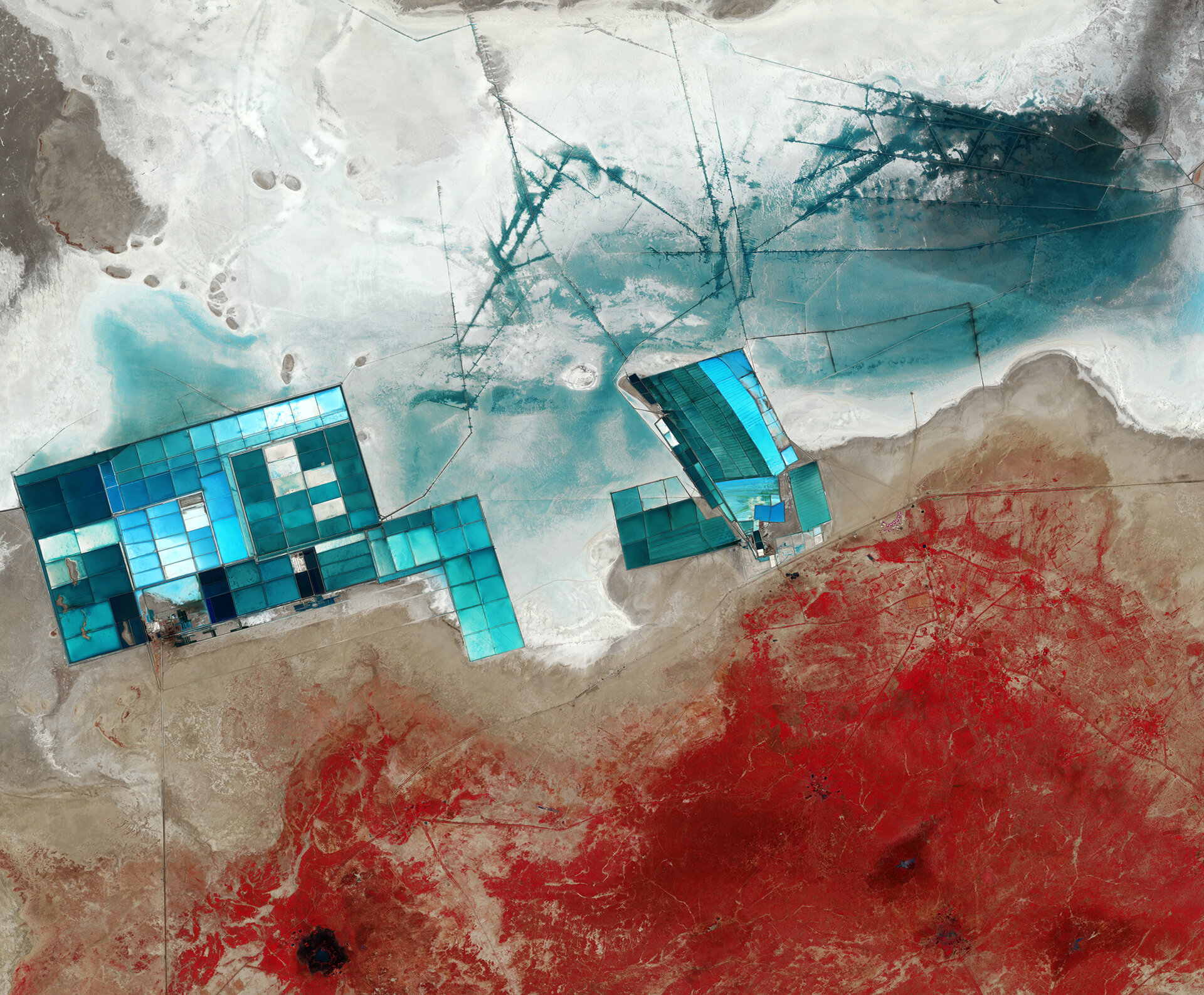
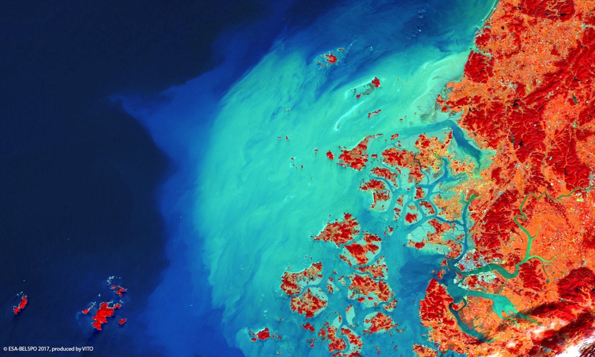
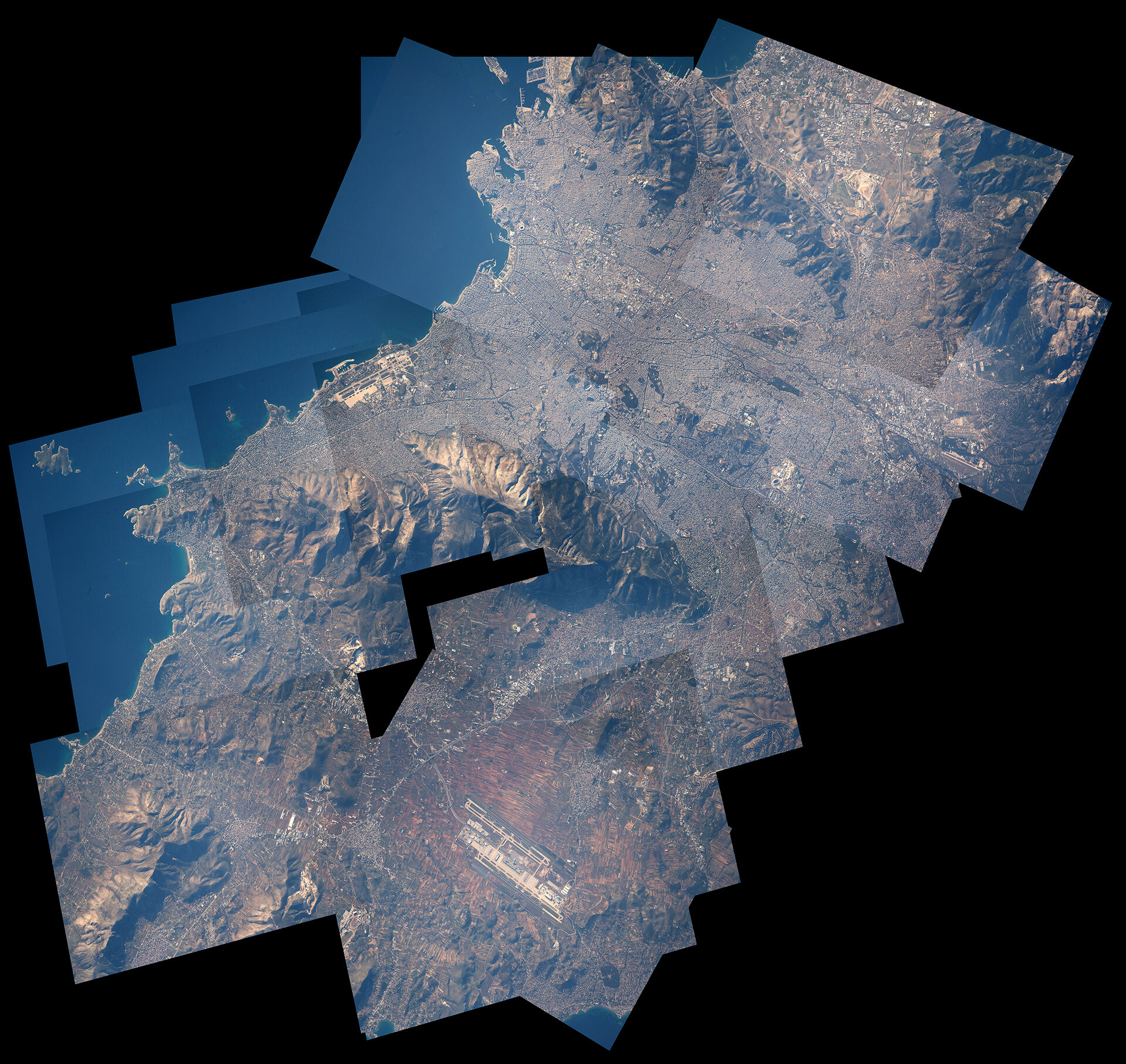
This captivating new image shows the Crab Nebula in bright neon colours. The unusual image was produced by combining data from telescopes spanning nearly the entire electromagnetic spectrum, from radio waves to X-rays. The Karl G. Jansky Very Large Array (VLA) provided information about the nebula gathered in the radio regime (coloured in red). NASA’s Spitzer Space Telescope took images in the infrared (yellow). The NASA/ESA Hubble Space Telescope provided the images made in optical wavelengths (coloured in green). ESA’s XMM-Newton telescope observed the Crab Nebula in the ultraviolet (blue) and NASA’s Chandra X-ray Observatory provided the data for X-ray radiation (purple).
The Crab Nebula, located 6500 light-years from Earth in the constellation of Taurus (The Bull), is the result of a supernova explosion which was observed by Chinese and other astronomers in 1054. At its centre is a pulsar: a super-dense neutron star, spinning once every 33 milliseconds, shooting out rotating lighthouse-like beams of radio waves and visible light.
Surrounding the pulsar lies a mix of material; some of it was originally expelled from the star before it went supernova, and the rest was ejected during the explosion itself. Fast-moving winds of particles fly off from the neutron star, energising the dust and gas around it. These different layers and intricacies of the nebula can be observed in all of the different wavelengths of light.
CC BY 4.0

This colourful, seemingly abstract artwork is actually a map depicting all the celestial objects that were detected in the XMM-Newton slew survey between August 2001 and December 2014.
Orbiting Earth since 1999, XMM-Newton is studying high-energy phenomena in the Universe, such as black holes, neutron stars, pulsars and stellar winds. But even when moving between specific targets, the space telescope collects scientific data.
The map shows the 30 000 sources captured during 2114 of these slews. Because of overlapping slew paths, some sources have been observed up to 15 times, and 4924 sources have been observed twice or more. After correcting for overlaps between slews, 84% of the sky has been covered.
The plot is colour-coded such that sources of a lower energy are red and those with a higher energy are blue. In addition, the brighter the source, the larger it appears on the map.
The plot is in galactic coordinates such that the centre of the plot corresponds to the centre of the Milky Way. High-energy sources along the centre of the Milky Way include the famous black hole Cygnus X-1, and Vela X-1, a binary system comprising a neutron star consuming matter from a supergiant companion.
Several star-and-black hole binary systems are also captured, including objects identified as GRS 1915+105, 4U 1630-47 and V 4641 Sgr.
Two clusters of sources, one to the top left and one to the bottom right, correspond to the ecliptic poles.
Objects above and below the plane of our Galaxy are predominantly external galaxies that are emitting X-rays from their massive black holes.
Technical information about the source catalogue is available here.

The towering primary mirror of the James Webb Space Telescope (JWST) stands inside a cleanroom at NASA’s Johnson Space Center in Houston, where it will undergo its last cryogenic test before it is launched into space in 2018. In preparation for testing, the 'wings' of the mirror (which consist of the three segments on each side) were spread open. This photo shows one fully deployed wing, and one that is moments from being fully deployed. An engineer observes the move.
Successor to the Hubble Space Telescope, JWST will help us to find out more about the origins of the Universe by observing infrared light from the youngest galaxies and possibly the first stars. It will show us in detail how stars and planetary systems form and will also allow us to study planets both in our Solar System and those orbiting around other stars.
JWST is joint project of NASA, ESA and the Canadian Space Agency, and is scheduled for launch in October 2018 from Europe's Spaceport in Kourou, French Guiana.

The Sentinel-2A satellite takes us over western India to a seasonal salt marsh known as the Rann of Kutch.
One of the largest salt deserts in the world, the area fills with water during the summer monsoon season. During the drier winter, the vast white desert is a popular tourist destination, particularly for the Rann Utsav festival centred around a luxury ‘tent city’, visible in the central-right part of the image as a series of semi-circles.
Large salt evaporation ponds dominate this satellite image. One of the major projects in this area is the production of potassium sulphate, which is commonly used in fertiliser.
To give an indication of the size of these ponds, the width of the cluster on the left is nearly 13 km across. The lines in the upper-central part of the image are ditches used to control the flow of the water for the ponds.
In this false-colour image, shades of blue in the pools and surrounding land come from varying mineral content, as well as the different depths of the pools.
Meanwhile, vegetation appears red as seen in the lower part of the image. This area is the Banni grasslands, known for its rich biodiversity.
The grasslands area was formed from sediments deposited by rivers including the Indus River, before an earthquake in 1819 changed its course. Today, Banni’s vegetation is sparse and highly dependent on rainfall, but reoccurring droughts are increasing pressure on the arid region. Other factors, including overgrazing and the invasion of a non-native thorny shrub, are also stressing the environment.
This image, also featured on the Earth from Space video programme, was captured by the Copernicus Sentinel-2A satellite on 16 December 2015.

South Korea’s island-studded Mokpo port captured by ESA’s Earth-observing Proba-V minisatellite.
Located in the southwest of the country, the mid-sized city of Mokpo is a historic naval base and gateway to the country’s Honam Plain. Mokpo is visible in this false-colour image as a blue–grey area on the estuary of the Yeonsang River.
The port city is surrounded by more than 1400 islands, which provide fishing grounds while safeguarding Mokpo from the effects of large typhoons and tsunami. An extensive region of high sediment concentrations is also visible, extending into the Yellow Sea in a bow shape.
Launched on 7 May 2013, Proba-V is a miniaturised ESA satellite tasked with a full-scale mission: to map land cover and vegetation growth across the entire planet every two days.
Its main camera’s continent-spanning 2250 km swath width collects light in the blue, red, near-infrared and mid-infrared wavebands at 300 m resolution and down to 100 m resolution in its central field of view.
VITO Remote Sensing in Belgium processes and then distributes Proba-V data to users worldwide. An online image gallery highlights some of the mission’s most striking images so far, including views of storms, fires and deforestation.
This 100 m-resolution image was acquired by Proba-V on 6 October 2016.

ESA astronaut Thomas Pesquet is spending six months on the International Space Station on his Proxima mission. In his free time, like many astronauts, he enjoys looking out of the Cupola windows at Earth. This collage of pictures was taken on 20 April 2017 and shows the city of Athens, Greece.
Thomas asked to have the series of highly zoomed pictures aligned into this collage to show the city in detail. The International Space Station flies at roughly 400 km altitude so Thomas used the longest lens available onboard: 1150 mm.
Thomas took 46 photos of the city. On the ground, the images were digitally rotated and assembled into this large collage.

ESRO-2 control room at ESOC, Darmstadt, Germany, in 1968.
On 17 May 1968, the ESRO-2B satellite was launched by a Scout-B rocket from Vandenberg Air Force Base in California, USA, and became the first mission controlled by teams at the European Space Operations Centre (ESOC), Darmstadt, Germany.
Renamed the International Radiation Investigation Satellite (or ‘Iris’) once in orbit, it was the first developed by the European Space Research Organisation (ESRO), a predecessor of the European Space Agency. ESRO's first satellites concentrated on solar and cosmic radiation and their interaction with Earth and its magnetosphere.
ESRO-2A had been launched on 30 May 1967 from the same base in California, but the fourth stage of its rocket failed to ignite, and the satellite subsequently burned up in the atmosphere. The 74 kg ESRO-2B replacement carried the same seven experiments.
Although its design life was only one year, most subsystems and four experiments were still returning data by the time atmospheric drag produced reentry on 9 May 1971.
The mission was the first to be controlled from ESOC, which had been inaugurated eight months earlier, on 8 September 1967.
More information

The directions are simple, the conditions less so: press the corresponding physical button indicated on the headset display while experiencing weightlessness. Participants in an experiment running on ESA’s 66th parabolic flight campaign are helping researchers to develop augmented reality as a useful tool for astronauts on the International Space Station.
Detailed instructions displayed on a laptop often require astronauts to interrupt their workflow and concentration to refer back to checklists. By replacing static displays like laptops with augmented reality headsets, a team at the University of Rostock aim to increase astronauts’ efficiency and accuracy when working science experiments on the Station.
To begin creating a useful device, developers need to understand how users interact with their environment. In the case of space, the lack of a perceivable up or down makes for a unique frame of reference that affects hand–eye coordination and similar skills. Researchers have boarded an aircraft to work with augmented reality systems in the few seconds of weightlessness these specialised flights provide.
The participant pictured is wearing an augmented reality headset displaying 12 targets arranged in a circle as well as motion-capture sensors to track body movement. During weightlessness, she is shown a target that must be touched on a fixed, vertical board in front of her. Developers track her performance to understand field of view and visual-motor skills under weightless conditions. This feedback is then used to tailor the augmented reality software to the subject’s performance in this unique environment.
Essentially, the augmented reality headsets aim to replace the laptop displays that the astronauts currently consult for instructions during science operations on the Station. Developers expect to make technical changes based on the performance measures and to run the experiment in future parabolic flight campaigns, with the ultimate goal of getting the hardware ready for testing on future astronaut missions on the Station.
The 66th parabolic flight campaign is being run by Novespace in Bordeaux with sponsorship from ESA, the DLR German Aerospace Centre and France’s CNES space agency.

On 18 May 2018, a Soyuz lifted off on flight VS17 from Europe's Spaceport in Kourou, French Guiana to place an all-electric satellite, SES-15 into geostationary orbit for European Operator SES.
Week In Images
15-19 May 2017
Rate this
Views
Share
Thank you for rating!
You have already rated this page, you can only rate it once!
Your rating has been changed, thanks for rating!