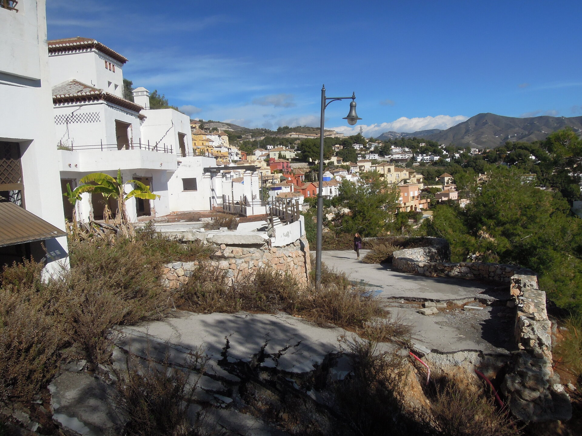
Early warning from space of homes on the slide
It was a literal property crash: multiple homes in the Cármenes del Mar resort on the south coast of Spain were engulfed in a landslide, leaving families homeless. But satellite archives offer early warning of such events – and now more accessible than ever before thanks to a new cloud computing platform.
Cármenes del Mar, a coastal development on a hillside in Granada, enjoyed sea views, but soon after its 2005 construction the area became subject to ground shifting and then later it was hit by a full-fledged landslide.
“This case, and others like it, shows how crucial it is that potential geohazards are factored rigorously into urban planning,” says Jorge Galve of Spain’s ARPA research group.
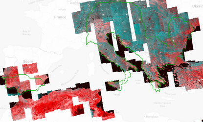
“Our group has been studying several cases of landslides affecting urban resorts in southern Spain. By combining multiple satellite radar images we were able to detect movements of less than a centimetre per year. Such tiny motion might indicate the first stage of slope destabilisation.
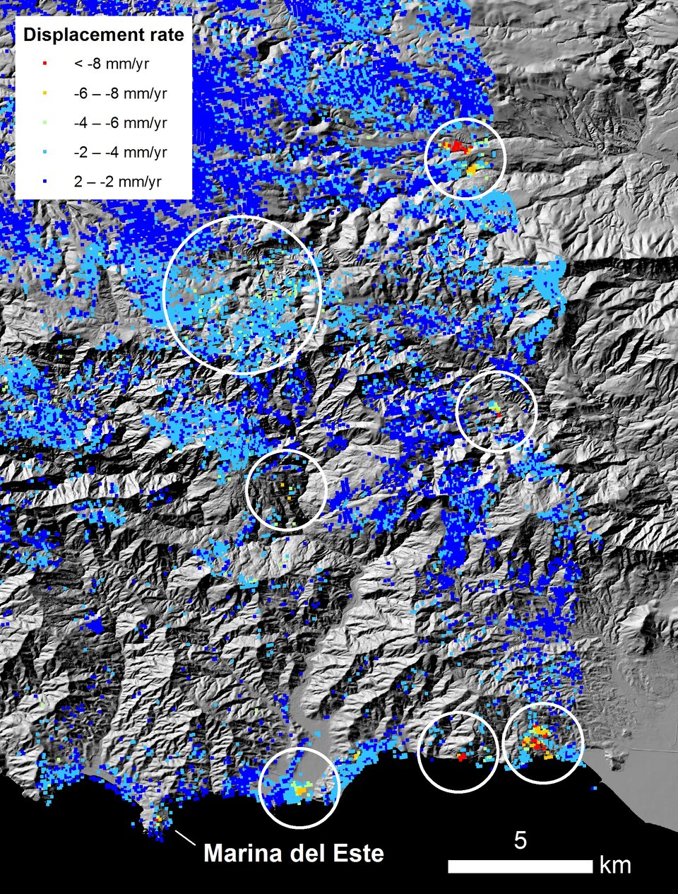
“For instance, we saw such slight ground motion at another nearby resort called Marina del Este in Granada in radar data from ESA’s Envisat satellite from May 2003 to December 2009. Later that winter, heavy rainfall triggered the full-scale landslide that generated severe damage to buildings and infrastructure.”
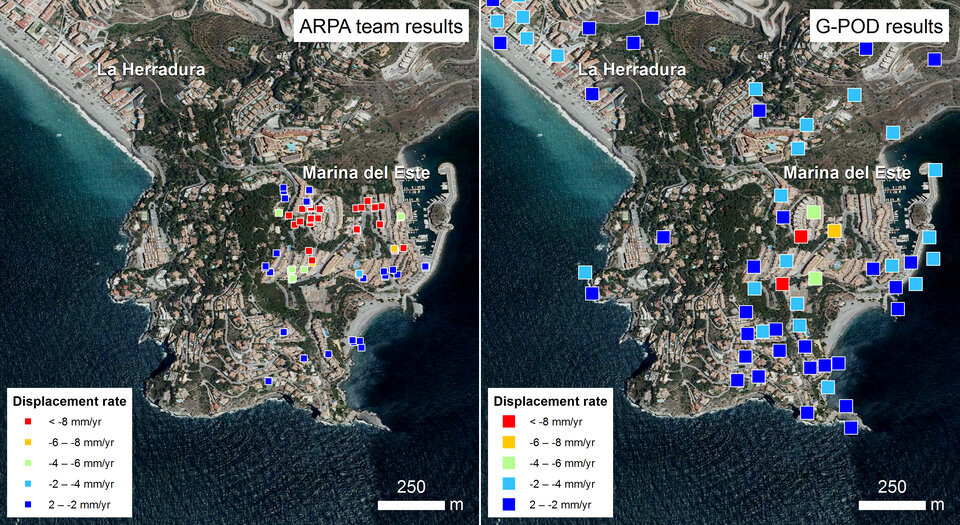
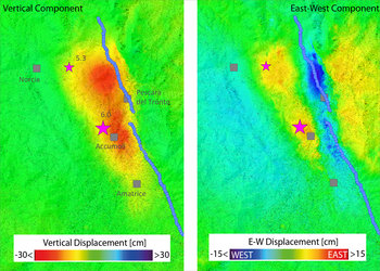
By combining consecutive radar images of the same location, tiny changes are highlighted by distinctive rainbow-like patterns.
Otherwise invisible shifts right down to millimetres can be identified.
The problem is that, traditionally, this is an extremely complex task.
“If the results from these data had been available earlier, then they might have been used to reduce the damage to the developments we focused on,” adds Jorge Galve.
“But it took more than three months to select the radar imagery manually, pass it for processing to an external specialist and then perform our analysis.”
The good news is that the situation has changed: the team can now produce comparable results within a matter of days, rather than months, using new ESA-supported computing services enabling easier use of satellite data.
The online Geohazards Exploitation Platform allows the seamless browsing, access and processing of vast amounts of satellite data, plus the software tools to extract useful knowledge from them and share the results.
“With this new approach, we are able to focus on what we are good at: performing analysis and interpretation,” comments Jorge Galve. “Everything else is automated, from the initial gathering of data to the production of results.
“Our new analysis has identified new areas with potential ground instability problems, which our team will study in detail."

Access the video