• → European Space Agency

      • Space for Europe
      • Space News
      • Space in Images
      • Space in Videos
    • About Us

      • Welcome to ESA
      • DG's News and Views
      • For Member State Delegations
      • Business with ESA
      • ESA Exhibitions
      • ESA Publications
      • Careers at ESA
    • Our Activities

      • Space News
      • Observing the Earth
      • Human Spaceflight
      • Launchers
      • Navigation
      • Space Science
      • Space Engineering
      • Operations
      • Technology
      • Telecommunications & Integrated Applications
    • For Public

    • For Media

      • Media
      • ESA TV
      • Videos for professionals
      • Photos
    • For Educators

    • For Kids

    • ESA

    • Observing the Earth

    • Understanding Our Planet

    • Securing Our Environment

    • Benefiting Our Economy

    • About Observing the Earth

      • How does Earth Observation work?
      • How to get Earth observation data
      • Integrating Earth Observation in your job
      • Earth Observation users speak
    • EO programmes
    • The Living Planet
    • GMES
    • ESA's Earth Observing missions
    • Envisat overview
    • ERS overview
    • Earth Explorers overview
    • Sentinels overview
    • MSG overview
    • MetOp overview
    • Proba-1 overview
    • Third Party Missions overview
    • Opportunities with us

      • Education & training
      • International cooperation
      • Milestones & announcements
    • Multimedia

      • Image Gallery
      • Video Gallery
      • Online resources
      • RSS feeds
    • Services
    • Subscribe

    ESA > Our Activities > Observing the Earth

    Getting ready for Sentinel-2

    Monitoring changing landscapes
    7 December 2011

    The deadline for abstract submissions for the April 2012 symposium on the Sentinel-2 satellite is just around the corner.

    The first Sentinel-2 Preparatory Symposium will be hosted at ESA’s ESRIN centre for Earth observation in Frascati, Italy, from 23 to 27 April 2012.

    The symposium is open to anyone interested in Sentinel-2 data or involved in the development of the mission, including ESA Principal Investigators, co-investigators, Sentinel-2 users, scientists, students and representatives from national, European and international space agencies and value-adding industries.

    During the symposium, participants will focus on how data acquired by Sentinel-2 can be used in the areas of agriculture, forestry, land cover, cartography and other applications.

    The deadline for the submission of abstracts is fast approaching. Interested parties need to send in their ideas for papers and posters by 12 December for the Scientific Committee’s review. For more information, visit the symposium website.

    Sentinel-2 is one of five Sentinel missions that ESA is developing for Europe’s Global Monitoring for Environment and Security (GMES) programme.

    Through GMES, decision-makers will have access to reliable, timely and accurate information services to manage the environment, understand and mitigate the effects of climate change and ensure civil security.

    Sentinel-2
    Sentinel-2

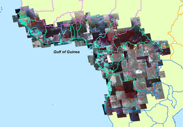
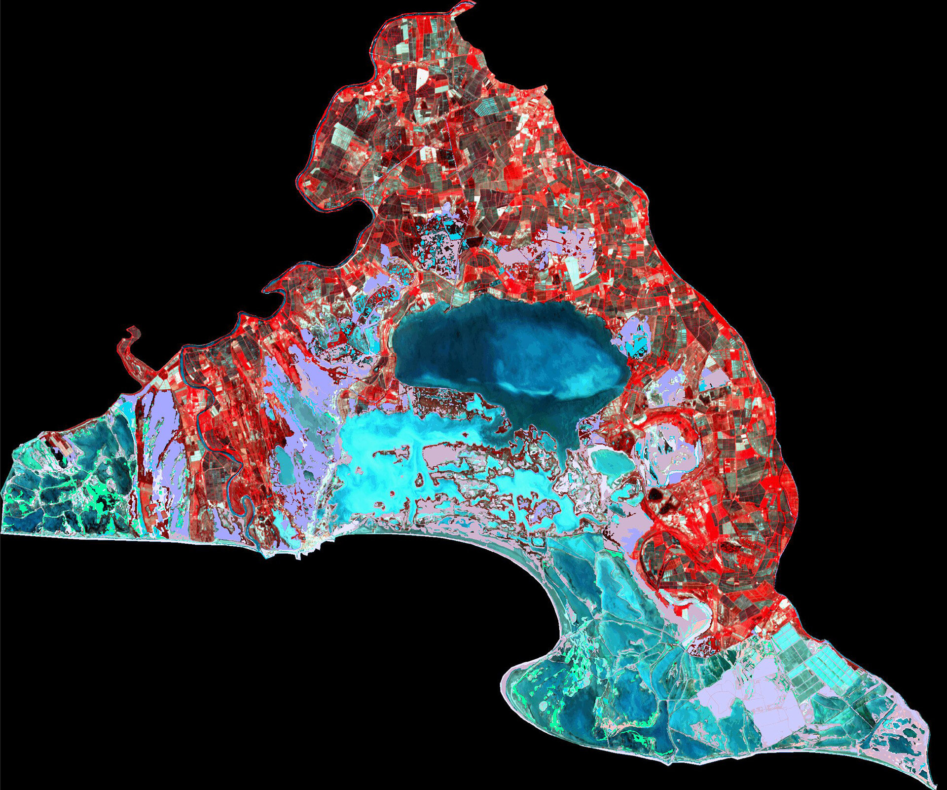
    The Sentinel series is foreseen to collect crucial Earth observation data for two decades. Sentinel-2 aims to deliver high-resolution optical images after launch in 2013, providing enhanced continuity of SPOT- and Landsat-type data, but with a higher number of channels and a broader scanning swath.

    ESA has been acquiring Landsat data at European stations since the 1970s, and the missions were the main data source for many years when Earth observation started at ESA’s ESRIN centre in Italy. Today, ESA holds around two million Landsat products in its archives.

    The new data acquired by Sentinel-2 allows for continuity in Earth observation after 40 years of Landsat missions, in particular for observing environmental change.

    Sentinel-2 will deliver frequent and systematic high-resolution optical imagery to be used for land cover maps, Land Use Land Use Change and Forestry (LULUCF) mapping, Reduce Emission by Deforestation and Degradation (REDD) mechanism monitoring, agriculture monitoring, disaster monitoring and many other applications. It will provide research institutions with input to derive geophysical variables of prime interest to the many Earth science fields.

    The satellite will deliver 800 gigabytes of information every day.

    Rate this

    Views

    Share

    • Currently 0 out of 5 Stars.
    • 1
    • 2
    • 3
    • 4
    • 5
    Rating: 0/5 (0 votes cast)

    Thank you for rating!

    You have already rated this page, you can only rate it once!

    Your rating has been changed, thanks for rating!

    93
    Tweet
    • Related links
    • Sentinel-2 Preparatory Symposium
    • Related missions
    • Sentinels
    • Sentinel-2
      Sentinel-2
      Sentinel-2
    • Related news
      • ESA opens Landsat archives
        • ESA’s Sentinel-2 shapes up for testing
          • Space and its benefits for citizens and society: A top priority for Europe
            • Faster satellite data for more GMES users
            • Global Monitoring for Environment and Security
              Global Monitoring for Environment and Security
              Global Monitoring for Environment and Security

    Connect with us

    • RSS
    • Youtube
    • Twitter
    • Flickr
    • G+
    • Facebook
    • Livestream
    • Subscribe
    • App Store
    • LATEST ARTICLES
    • · ExoMars 2016 set to complete const…
    • · Herschel ends operations as orbiti…
    • · Europe’s largest spaceship reache…
    • · ATV ready to nose up to Station
    • · A helping hand from above for The …
    • FAQ

    • Jobs at ESA

    • Site Map

    • Contacts

    • Terms and conditions