Satellite snow maps help reindeer herders adapt to a changing Arctic
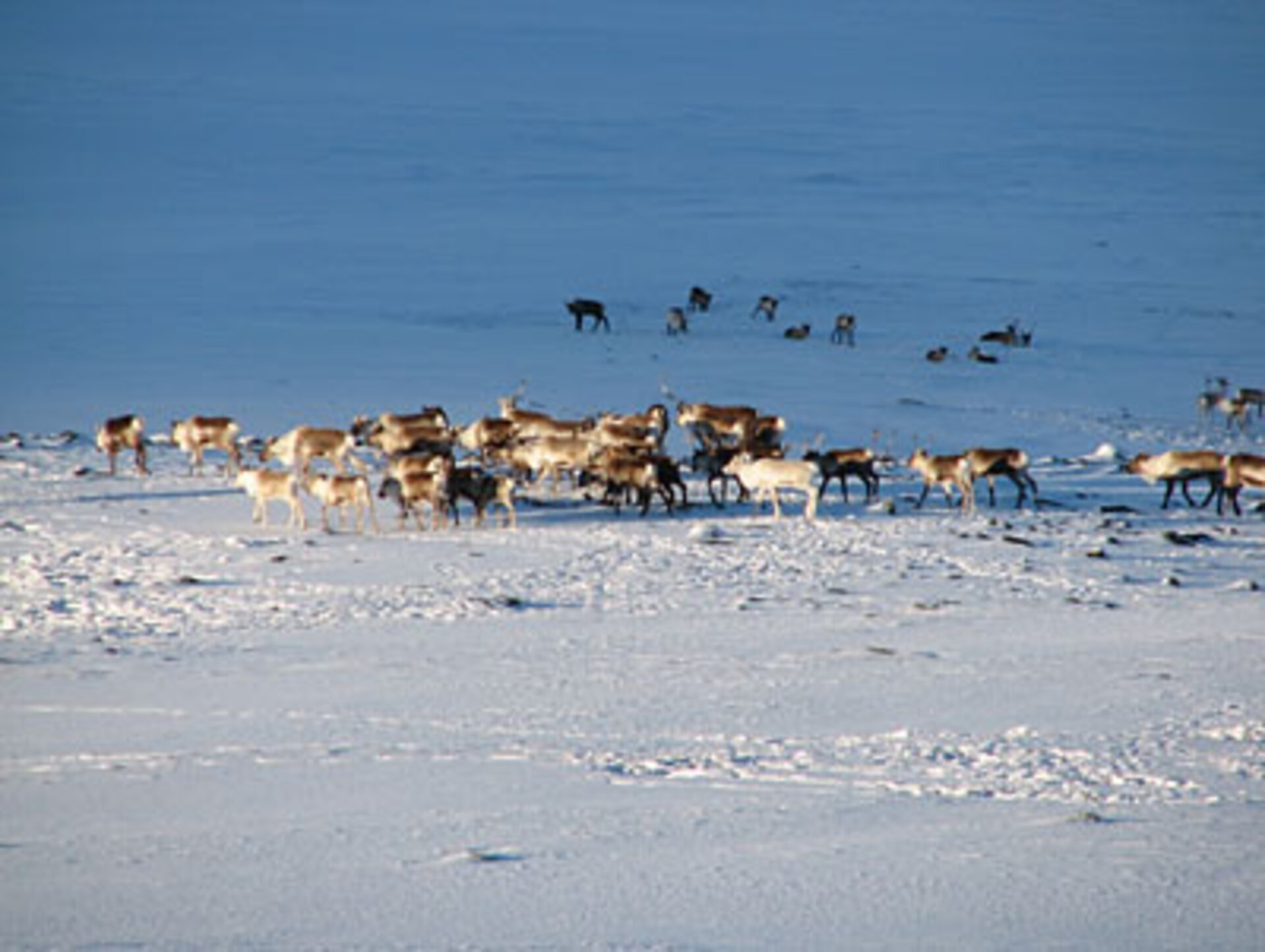
Arctic reindeer herders are facing the challenges of adapting to climate change as a warmer Arctic climate makes it harder for herds to find food and navigate. To help them adapt, the ESA-backed Polar View initiative is providing the herders with satellite-based snow maps.
"Snow is of paramount importance for reindeer herding because its quality determines whether reindeer are able to access the pastures that lie beneath it for much of the year," said Anders Oskal, the Director of the International Centre for Reindeer Husbandry (ICR). "Detailed circumpolar snow information is, thus, becoming increasingly important following the recent changes in the Arctic climate."
Oskal is working with Sámi reindeer herders in Finnmark, Norway, to help them maintain and develop sustainable reindeer husbandry. According to him, Finnmark is the area of Norway that is predicted to experience the largest temperature increases, raising concerns about whether ice layers will form over pastures preventing reindeer from foraging.
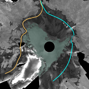
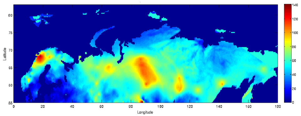
For this reason, ICR partnered with Polar View to examine how satellite observations could help by gathering information on snow and snow change in a timely and accurate manner for such vast circumpolar regions. Under the Polar View initiative, Kongsberg Satellite Services (KSAT) have been providing snow melt maps for Norway and Sweden and Eurasia snow cover maps for the last 18 months.

"The experience so far has definitely been positive, and the reindeer herders are extremely interested in the future utilisation of Polar View products that can relate important information about local snow conditions," Oskal said. "These products could have important consequences for herders’ decisions regarding winter pasture quality and potential migration routes."
In addition to climate change, reindeer herders also have to face a loss of pastures due to infrastructure development, such as roads, hydroelectric power dams and cabin resorts. In the future, ICR and Polar View may partner again to monitor the different forms of land use change over time.
Products from Polar View have also been used as input for an International Polar Year Project – IPY EALÁT-Network Study – on reindeer herding and adaptation to climate change.
The two Polar View snow services are provided by KSAT in partnership with the Northern Research Institute, the Norwegian Computing Centre and the Finnish Meteorological Institute.
Polar View is supported by ESA and the European Commission (EC) with participation from the Canadian Space Agency. It was established under the Global Monitoring for Environment and Security (GMES) programme – a joint initiative between ESA and the EC to combine all available space- and ground-based information sources to develop an independent European environmental monitoring capacity from planetary to local scales.