First images from MHS and GOME-2 on MetOp-A
Now that all the instruments carried on MetOp-A have been successfully switched on, the first Level-1b images from the MHS instrument, which measures atmospheric humidity and temperature, and the first Earthshine spectra from the ozone monitoring instrument GOME-2 have been acquired.
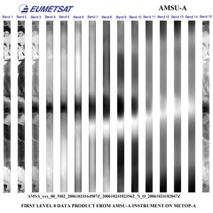
These data are the latest to be released following the very first image received from the AMSU-A instrument (Advanced Microwave Sounding Unit) on 25 October and images from the AVHRR (Advanced Very High Resolution Radiometer) on 26 October.

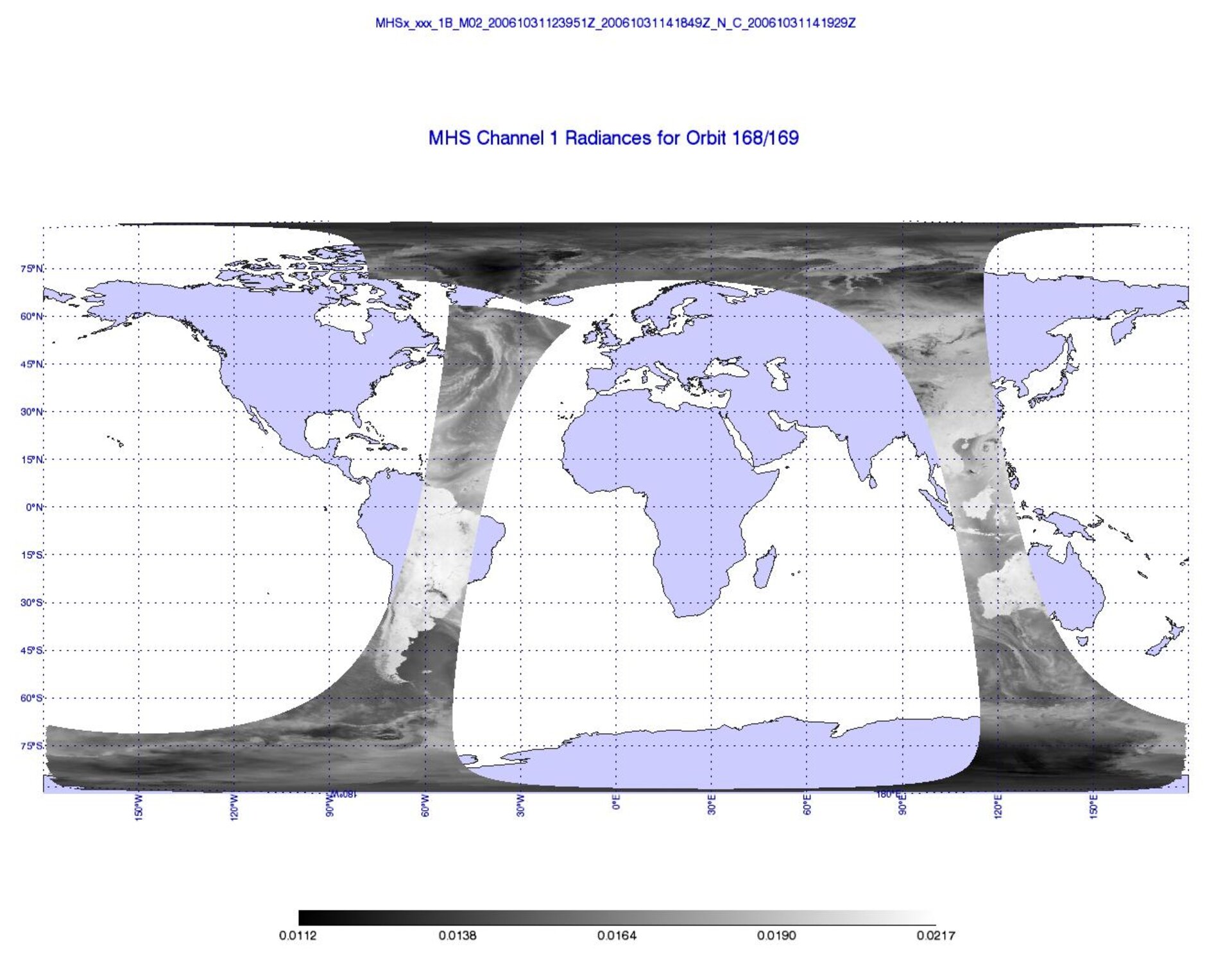
The European MHS (Microwave Humidity Sounder) was switched onto scan-mode on 31 October and its first image generated by the EUMETSAT Polar System (EPS) Ground Segment and analysed in its Calibration Validation Facility. The images display the Earth view radiances of the five channels for about one hour on the same day. In all five channels, the tropical cyclone named CIMARON east of South Korea is well-marked.
Developed by Astrium UK under EUMETSAT contract, MHS works in conjunction with four of the U.S. instruments provided by the National Oceanic and Atmospheric Administration (NOAA); namely the Advanced Microwave Sounding Units–A1 and –A2 (AMSU), the Advanced Very High Resolution Radiometer (AVHRR) and the High Resolution Infrared Radiation Sounder (HIRS). The ensemble is termed the Advanced TIROS Operational Vertical Sounder (ATOVS) and provides accurate vertical temperature and humidity profiles of the atmosphere.

As part of ATOVS, MHS is already delivering valuable data as it is in operation on the NOAA-N satellite, which was launched in May 2005, and it will also form part of the payload on NOAA-N'. MHS represents a significant enhancement over the AMSU-B carried on earlier NOAA satellites.
The MHS detects microwave radiation emitted from the surface of the Earth at specific frequency bands. As the radiation passes through the atmosphere, the signal is partially absorbed by the moisture in cloud cover and precipitation etc, and hence altered. These alterations are detected at a number of different layers in the atmosphere, from which accurate profiles on atmospheric humidity as well as temperatures at the surface of the Earth can be derived.

The first GOME-2 (Global Ozone Monitoring Experiment-2) Earthshine spectra were acquired on 30 October after completion on the initial testing procedure. The plot shows an un-calibrated Earthshine spectrum in binary units (BU).
It should be noted that all bands were commanded with the same integration time for this acquisition, which accounts for the very low signal levels in band 1a. These data were successfully processed by the EUMETSAT ground segment with both Level 1a and level 1b products being produced. However, accurate calibration of the level-1b data is not yet possible as this requires in-flight calibration data, which will be acquired progressively over the next weeks.

The enhanced GOME-2 instrument is a scanning spectrometer used to measure profiles of atmospheric ozone and to measure other trace gases in the atmosphere. GOME-2 is set to continue the long-term monitoring of atmospheric ozone started by GOME on ERS-2 and SCIAMACHY on Envisat.
Developed by Gailileo Avionica under ESA contract, GOME-2 will ensure that the future monitoring of atmospheric ozone is fast and accurate, contributing greatly to atmospheric chemistry research and climate monitoring. Observations of levels of other gases such as nitrogen dioxide and sulphur dioxide will be used for the monitoring and forecasting of air quality while recorded levels of ozone will be used for warnings and UV forecasting. The meteorological services will further be using GOME-2 data in their numerical models, in order to contribute to their weather forecasts.

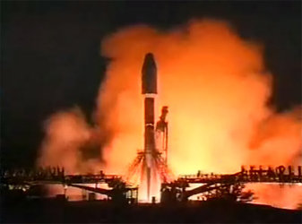
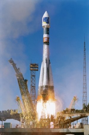
MetOp-A, launched on 19 October 2006, carries a set of 'heritage' instruments provided by the United States' National Oceanic and Atmospheric Administration (NOAA) and the French Space Agency (CNES) and a new generation of five European instruments offering improved sensing capabilities to both meteorologists and climatologists.