Introducing Altius
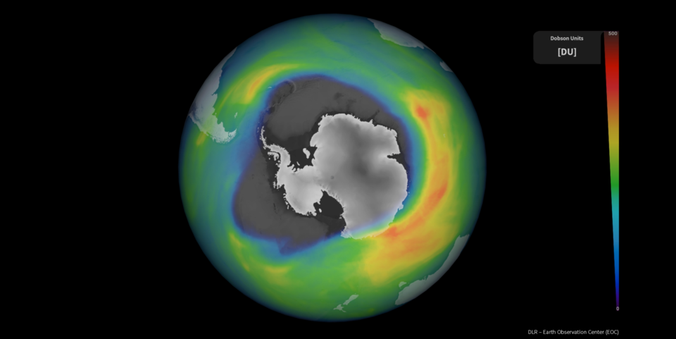
The ozone layer is a natural layer of gas in the upper atmosphere. Stratospheric ozone acts as sunscreen, absorbing much of the ultraviolet radiation in sunlight before it reaches Earth’s surface – hence playing a vital role in protecting life on our planet.
In the 1970s, scientists discovered that the ozone layer was being depleted, particularly above the South Pole resulting in what is known as the ozone hole. It transpired that chemicals in appliances such as refrigerators and air conditioners were largely to blame. To address the destruction of the ozone layer, in 1987, the international community established the Montreal Protocol on ozone-depleting substances. It was the first time that all countries of the world signed an international treaty.
Thanks to the Montreal Protocol, the global consumption of ozone-depleting substances has since reduced by about 98%, and the ozone layer is showing signs of recovering. However, it is not expected to fully recover before the second half of this century. It is imperative that concentrations of stratospheric ozone, and how they vary according to the season, are monitored continually, to not only assess the recovery process, but also for atmospheric modelling and for practical applications including weather forecasting.
The World Meteorological Organization’s 2018 Global Ozone Research and Monitoring Project Report documents advances in the scientific understanding of ozone depletion. These advances add to the scientific basis for decisions made by the Parties to the Montreal Protocol.
While ozone depletion is not a major cause of climate change, the two are nevertheless linked. Ozone affects the temperature balance of Earth in two different ways. Firstly, it absorbs solar ultraviolet radiation, which heats the stratosphere. Secondly, it absorbs infrared radiation emitted by Earth's surface, effectively trapping heat in the troposphere. Therefore, how ozone affects the atmosphere depends on its concentrations at different altitudes.
Satellites orbiting above are the only way of measuring recovery and change in a consistent and systematic manner. However, most ozone-measuring satellites, such as the Copernicus Sentinel-5P mission, provide a value for the amount of ozone in a column – meaning the total amount of ozone in a column of air from the ground (or just above the ground) to the top of the atmosphere. In conjunction, profiles, which show concentrations at different altitudes, are also needed to gain the full picture. Since the end of ESA’s Envisat mission, there are only a few instruments in orbit that provide profiles of ozone, and some of these missions will end in the next few years.

The Altius mission, therefore, fills a very important gap in the continuation of ‘limb’ measurements for atmospheric science. The Altius satellite platform is based on the Project for On-Board Autonomy (Proba) satellites. The agility of this class of micro-satellite platform allows for atmospheric limb observations in different remote-sensing geometries from a low-Earth orbit. Altius carries a high-resolution 2D imager that observes ozone from side-on, at Earth's limb or atmospheric boundary. This limb-sounding technique allows ozone to be viewed at different altitudes, thereby providing vertical profiles of different ozone concentrations. The instrument uses three independent spectral imagers that operate in the ultraviolet, visible and near-infrared, achieving global coverage in a three-day revisit cycle.
Proposed as an ESA Earth Watch mission in 2016, Altius is financed mainly by Belgium with contributions from Canada, Luxembourg and Romania. The satellite is designed and built by a consortium of companies under the prime contractor Redwire Space in Belgium. OIP Sensor Systems is the prime contractor for the instrument. The ground segment for data processing is developed by a consortium under the prime contractor Spacebel in Belgium with scientific support from the Belgian Institute for Space Aeronomy (BISA) and the University of Saskatchewan (USASK) in Canada.
Altius is scheduled to be launched at the end of 2028 on a Vega-C rocket from Europe’s Spaceport in Kourou, French Guiana.
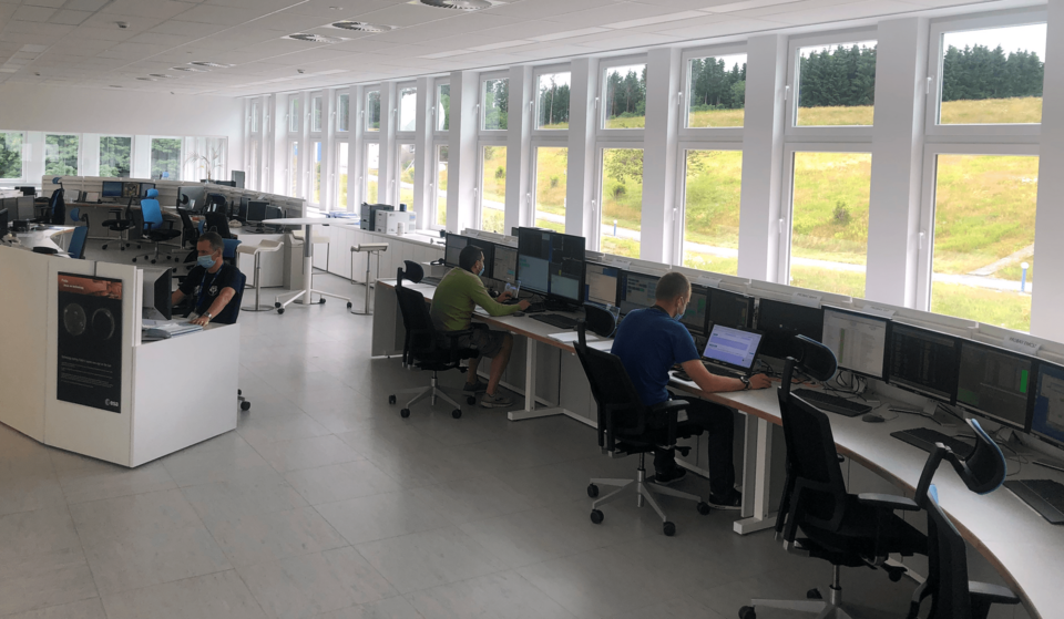
The satellite will be operated from ESA’s European Space Security and Education Centre (ESEC) in Redu, Belgium, with the payload ground segment located at the Belgian User Support and Operations Centre (B.USOC) in Brussels, Belgium.
Back to Altius homepage |