Earth from Space: Dublin, Ireland
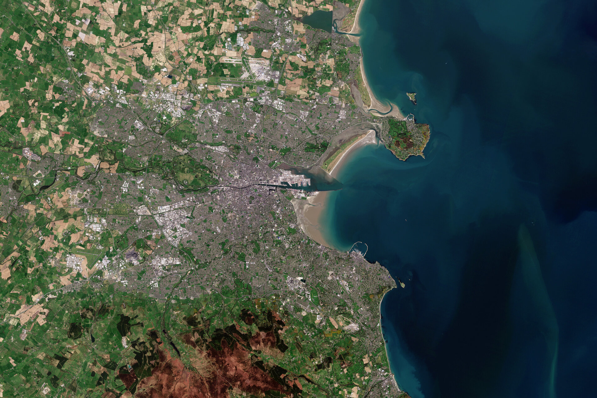
Dublin, the capital and largest city of Ireland, is featured in this image captured by Copernicus Sentinel-2.
Click on the image below to explore it in its full resolution.
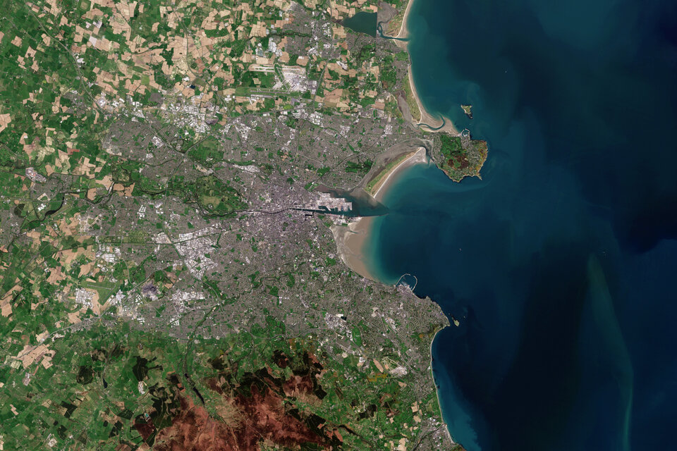
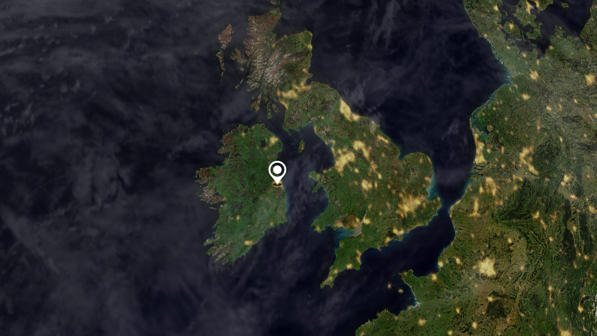
Dublin is located near the midpoint of Ireland’s east coast in the province of Leinster. The city, which covers an area of around 115 sq km, is bordered by the Dublin Mountains, a low mountain range to the south, and is surrounded by flat farmland to the north and west.
The city straddles the River Liffey, which rises in the Wicklow Mountains and flows around 80 km eastwards through the city of Dublin, in which it is canalised and bordered with quays. It then empties into Dublin Bay, an arm of the Irish Sea.
The city’s historical buildings include Dublin Castle, which dates back to the 13th Century, and St Patrick’s Cathedral. Dublin is also home to the Guinness Storehouse, which covers seven floors surrounding a glass atrium shaped in the form of a pint of Guinness. The seventh floor houses the Gravity Bar with spectacular views of Dublin.
There are many green spaces around Dublin which include Phoenix Park and St. Stephen’s Green. Phoenix Park, visible around 3 km west of the city centre, has a 16 km perimeter wall enclosing 707 hectares of green space making it one of the largest enclosed public parks in any capital city in Europe.
Dublin Bay is around 10 km wide along its north-south base and around seven km in length. North Bull Island, situated in the northwest part of the bay, features a five km long sandy beach, Dollymount Strand. Bull Island was created 200 years ago due to the construction of the north wall to Dublin Port and continues to grow seaward.
The island's habitats include beach, dunes, mud flats, grassland and marsh. The island was the first official bird sanctuary in the country in the 1930s. In 1981, it achieved status as a UNESCO Biosphere Reserve owing to its rare and threatened habitats and species along with its use by important numbers of overwintering birds.
Copernicus Sentinel-2 is a two-satellite mission. Each satellite carries a high-resolution camera that images Earth’s surface in 13 spectral bands. Data from Copernicus Sentinel-2 are used to monitor changes in land cover, agriculture, and coastal and inland waters.
This image is also featured on the Earth from Space video programme.