
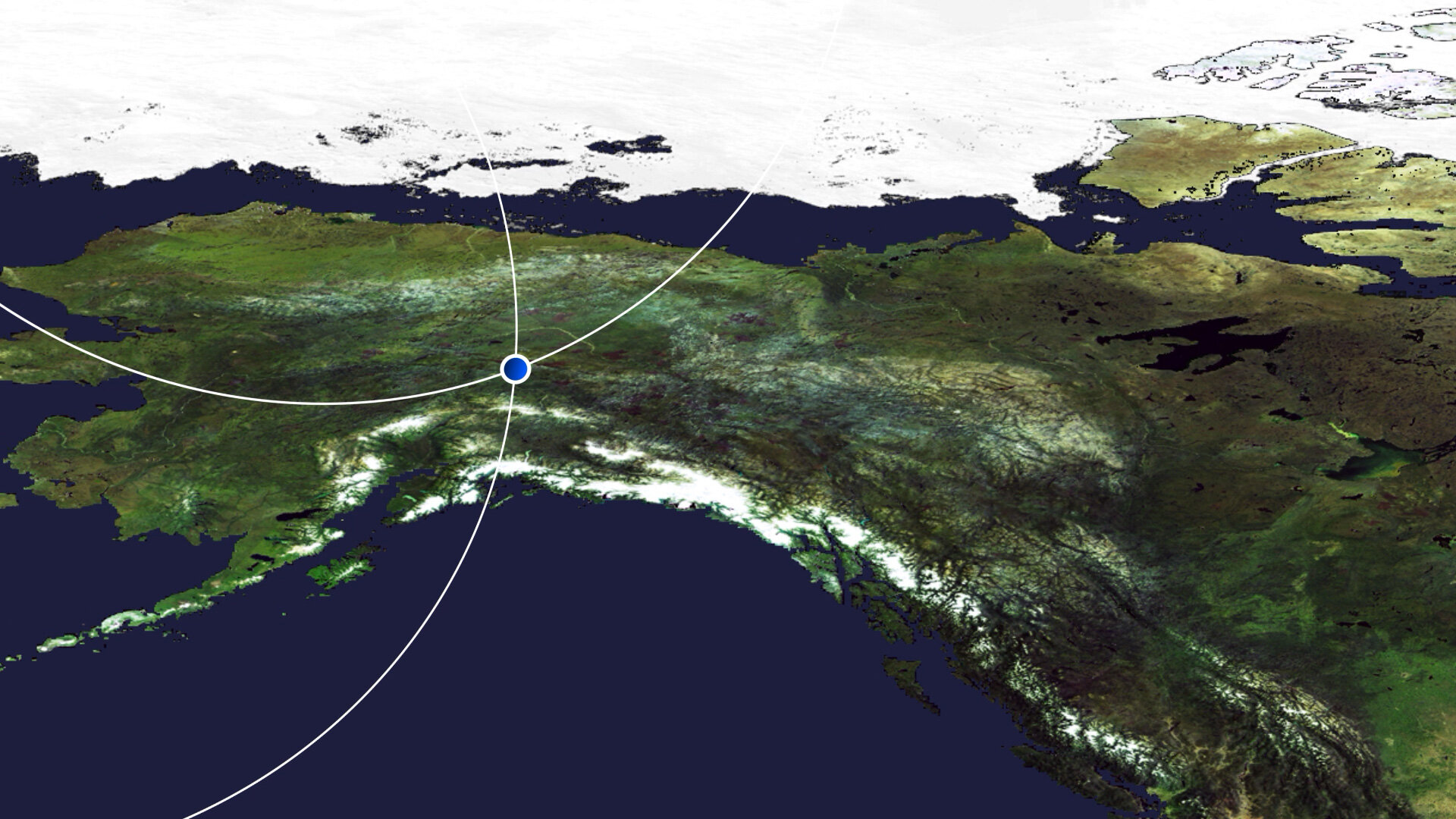
Earth from Space: Fairbanks, Alaska
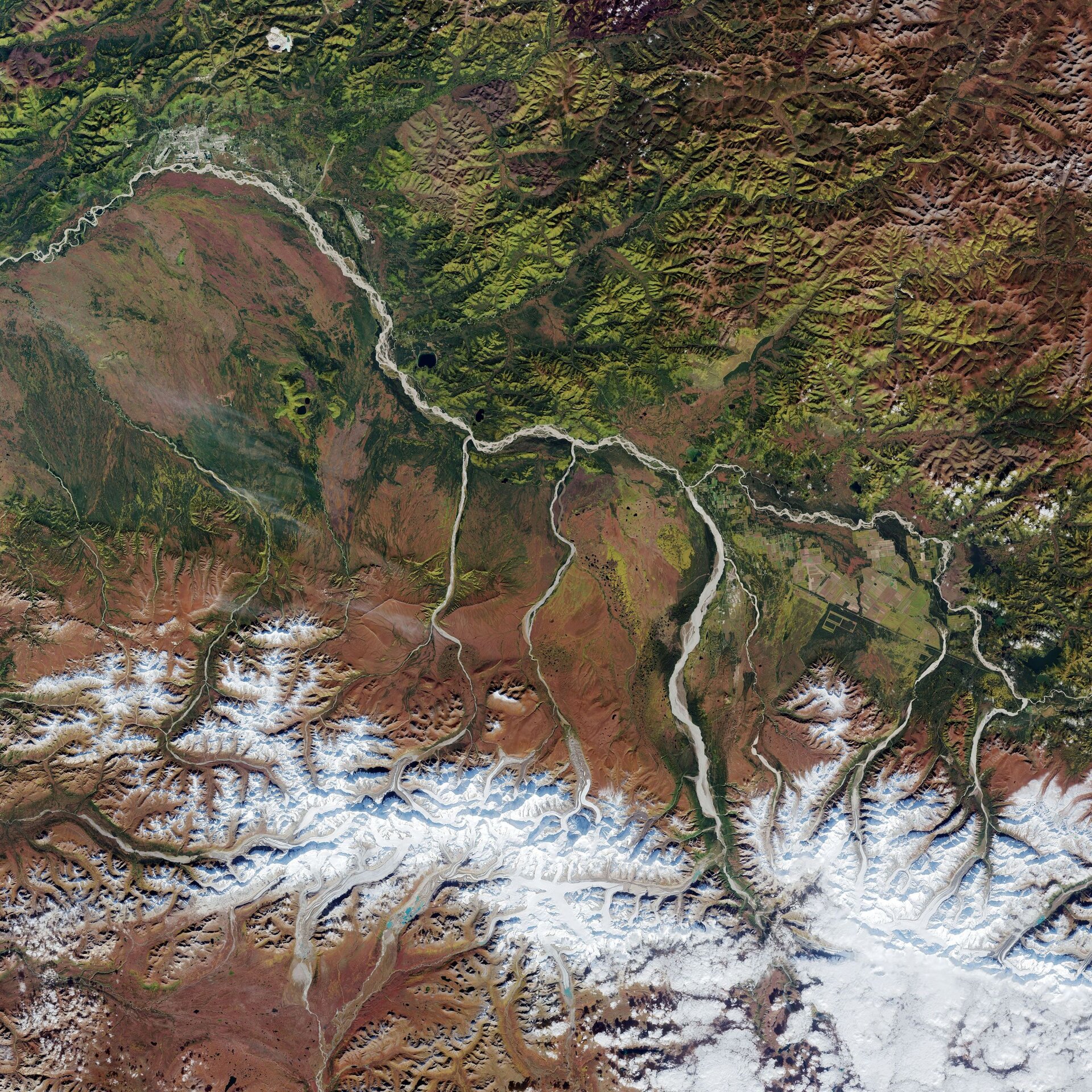
The city of Fairbanks, the largest city in the Interior region of Alaska, and its surroundings, are featured in this Copernicus Sentinel-2 image.
Click on the image below to explore it in its full 20 m resolution.

Visible in the top-left corner of the image, Fairbanks is located in the central Tanana Valley, straddling the Chena River near its confluence with the Tanana River – a 940 km tributary of the Yukon River. Dominating this week’s image, the Tanana River’s name is an Athabascan word meaning ‘river trail’. Many low streams and rivers flow into the Tanana River.
The river flows in a northwest direction along the base of the Alaska Range (visible in the bottom of the image) before joining the Yukon River near the village of Tanana. The river drains the north slopes of the high Alaska Range and is fed by several glaciers. The sediment-laden Tanana is rich in minerals, which gives it its milky colour.
South of the Tanana River lies the Tanana Flats, an area of marsh and bog that stretches for more than 160 km until it rises into the Alaska Range. One of the components of the Alaskan mountains, the Alaska Range extends for around 650 km in a generally east-west arc from the Aleutian Range to the boundary of Yukon. The mountain range can sometimes be seen from Fairbanks on clear days. The highest mountain in North America, the Denali, lies in the Alaska Range and reaches an elevation of over 6000 m (not visible).
Around 20 km from Fairbanks lies the city of North Pole. Despite its name, the city is around 2700 km south of Earth’s geographic North Pole and around 200 km south of the Arctic Circle.
Light green colours in the image indicate deciduous forest, while dark green represents evergreen forests.
Sentinel-2 is a two-satellite mission to supply the coverage and data delivery needed for Europe’s Copernicus programme. The mission’s frequent revisits over the same area and high spatial resolution allow changes in both land and water bodies to be closely monitored.
This image, captured on 11 September 2021, is also featured on the Earth from Space video programme.

Access the video

