

Earth from Space: Mount Aso, Japan
Mount Aso, the largest active volcano in Japan, is featured in this image captured by the Copernicus Sentinel-2 mission.
Click on the image below to explore it in its full 10 m resolution.
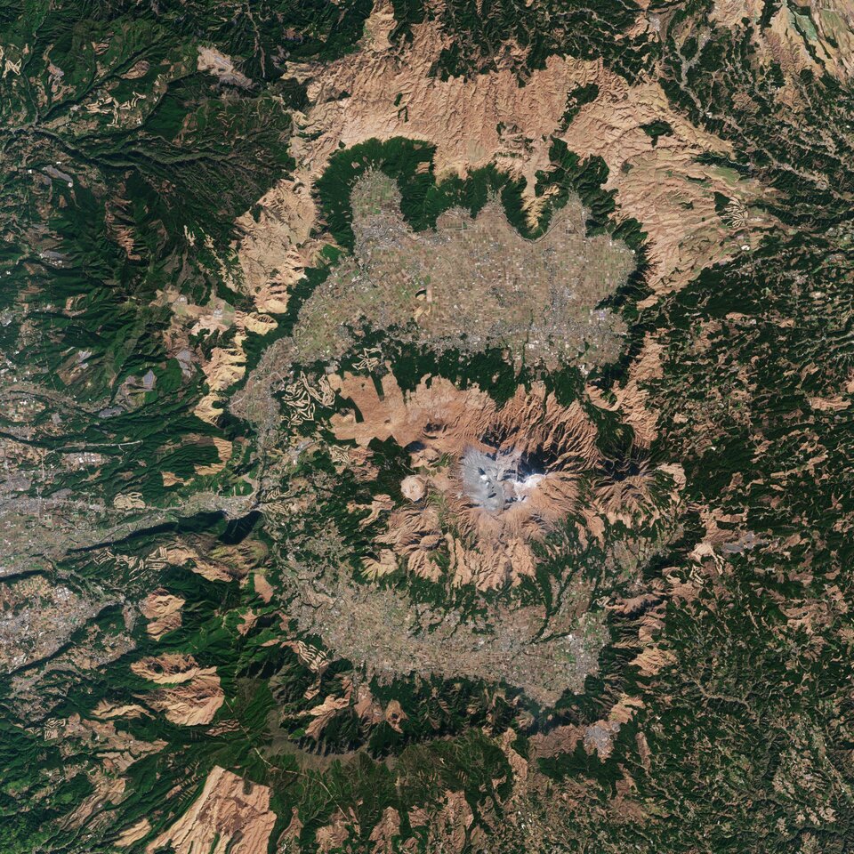
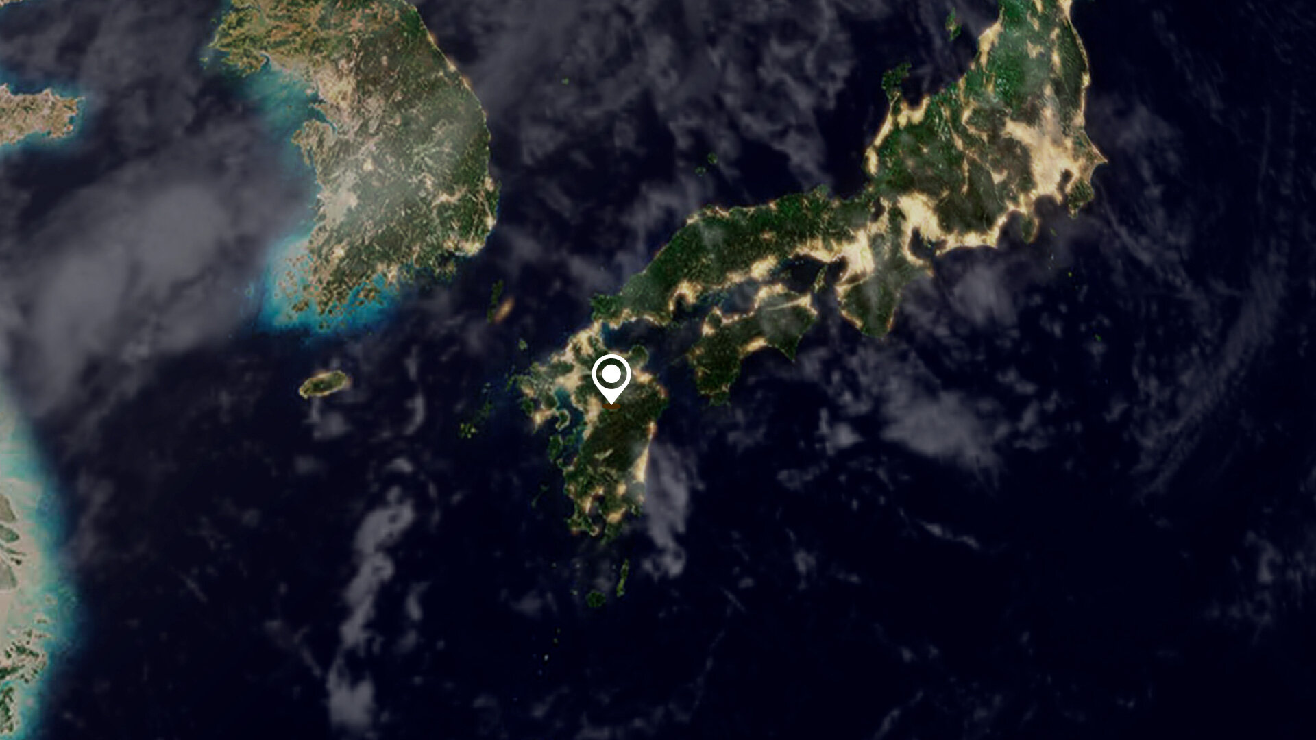
Located in the Kumamoto Prefecture on the nation’s southernmost major island of Kyushu, Mount Aso rises to an elevation of 1592 m. The Aso Caldera is one of the largest calderas in the world, measuring around 120 km in circumference, 25 km from north to south and 18 km from east to west.
The caldera was formed during four major explosive eruptions from approximately 90 000 to 270 000 years ago. These produced voluminous pyroclastic flows and volcanic ash that covered much of Kyushu region and even extended to the nearby Yamaguchi Prefecture.
The caldera is surrounded by five peaks known collectively as Aso Gogaku: Nekodake, Takadake, Nakadake, Eboshidake, Kishimadake. Nakadake is the only active volcano at the centre of Mount Aso and is the main attraction in the region. The volcano goes through cycles of activity. At its calmest, the crater fills with a lime green lake which gently steams, but as activity increases, the lake boils off and disappears. The volcano has been erupting sporadically for decades, most recently in 2021, which has led to the number of visitors drop in recent years.
Not far from the crater lies Kusasenri: a vast grassland inside the mega crater of Eboshidake. Active just over 20 000 years ago, the crater has been filled with volcanic pumice from other eruptions, with magma still brewing a few kilometres below. Rainwater often accumulates on the plain forming temporary lakes. The pastures are used for cattle raising, dairy farming and horse riding.
One of the nearest populated cities is Aso, visible around 8 km north from the volcano, and has a population of around 26 000 people.
There are 110 active volcanoes in Japan, of which 47 are monitored closely as they have erupted recently or shown worrying signs including seismic activity, ground deformation or emissions of large amounts of smoke.
Satellite data can be used to detect the slight signs of change that may foretell an eruption. Once an eruption begins, optical and radar instruments can capture the various phenomena associated with it, including lava flows, mudslides, ground fissures and earthquakes. Atmospheric sensors on satellites can also identify the gases and aerosols released by the eruption, as well as quantify their wider environmental impact.
This image is also featured on the Earth from Space video programme.

Access the video
Join us at ESA’s Living Planet Symposium in Bonn
Being held on 23–27 May 2022 in Bonn, Germany, ESA’s prestigious Living Planet Symposium offers attendees the unique opportunity to hear first-hand about the most recent developments in the field of Earth observation. Attendees will be able to hear about the latest scientific findings on our planet and how observing Earth from space supports environmental research and action to combat the climate crisis, learn about novel space technologies and about the new opportunities emerging in the rapidly changing sector of Earth observation. This exciting event not only attracts scientists and academics, but also those working in the space industry, institutional stakeholders, data users, students and citizens – an amazing opportunity to all meet in-person after the Covid pandemic.
More information and registration details can be found at the Living Planet Symposium website.

