
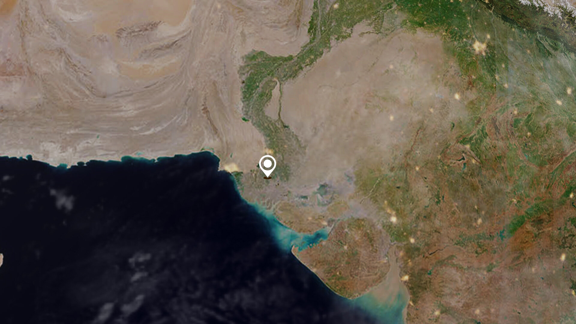
Earth from Space: Sindh, Pakistan
The Copernicus Sentinel-2 mission takes us over part of Sindh – the third-largest province of Pakistan.
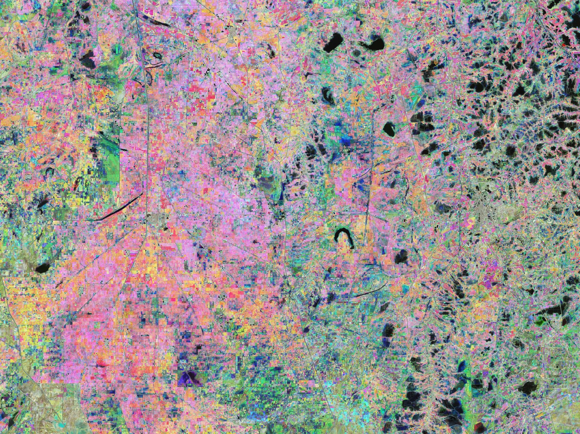
Click on the image below to explore it in its full 10 m resolution.

Sindh stretches around 580 km from north to south in southern Pakistan, covering an area of around 141 000 sq km. It is bounded by the Thar Desert to the east, the Kirthar mountains to the west and the Arabian Sea to the south. In the centre of the province is a fertile plain around the Indus River.
Agricultural fields dominate this weeks’ Earth from Space image, creating a colourful patchwork of geometric shapes. Agriculture is key to Sindh’s economy with cotton, wheat, rice, sugarcane and maize being the major crops produced in the province. Livestock raising is also important, with cattle, buffalo, sheep and goats being the main animals kept.
The colourful image was created by combining three separate images from the near-infrared channel from the Copernicus Sentinel-2 mission.
The first image, captured on 15 October 2021, is assigned to the red channel; the second from 24 November 2021, represents green, and the third from 13 January 2022 covers the blue part of the spectrum. All other colours visible in the image are different mixtures of red, green and blue, and vary according to the stage of vegetation growth over the four-month period.
The city of Badin is visible in the centre-right of the image and is often referred to as ‘Sugar State’ owing to its production of sugar. Small lakes, artificial water bodies and some flooded fields can be spotted in dark blue and black in the image.
Thanks to their unique perspective from space, Earth observing satellites are key in mapping and monitoring croplands. The Copernicus Sentinel-2 mission is specifically designed to provide images that can be used to distinguish between crop types as well as data on numerous plant indices, such as leaf area index, leaf chlorophyll content and leaf water content – all of which are essential to accurately monitor plant growth.
The image is also featured on the Earth from Space video programme.

Access the video

