Feeling the heat from space
With searing temperatures and a string of record highs being smashed across western Europe, the current heatwave is all too apparent. Extreme heat warnings have been issued in several countries including France, Spain and Portugal, and deadly wildfires have forced thousands to flee their homes. The satellite images here are an example of how the crisis is being viewed by satellites orbiting Earth.
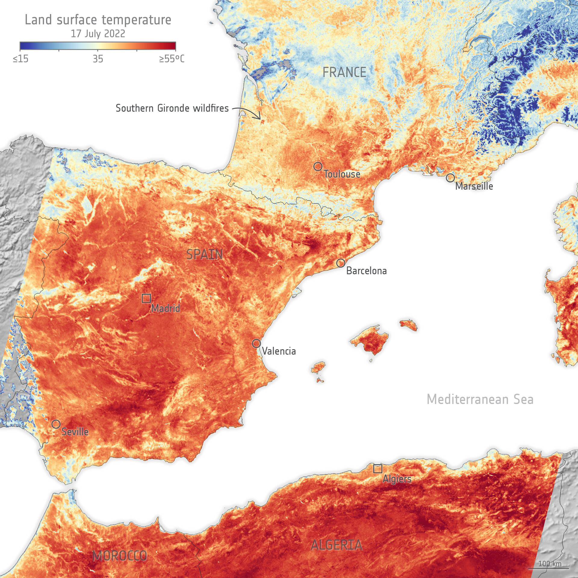
The image, which uses data from the Copernicus Sentinel-3 mission’s radiometer instrument, shows the temperature of the land surface in southern France, Spain and northern Africa in the morning of 17 July.
It is worth noting the difference between air temperature and land-surface temperature. Air temperature, given in our daily weather forecasts, is a measure of how hot the air is above the ground. Land-surface temperature instead is a measure of how hot the actual surface would feel to the touch.

As the image above clearly shows, in some places the surface of the land reached a whopping 55°C. Considering Copernicus Sentinel-3 acquired these data in the morning, the temperature would have increased through the afternoon.
Scientists monitor land-surface temperature because the warmth rising from Earth’s surface influences weather and climate patterns. These measurements are also particularly important for farmers evaluating how much water their crops need and for urban planners looking to improve heat mitigating strategies, for example.
The land-surface temperature image also pinpoints wildfires in the southern Gironde region in France.
These fires and burn scars are also shown in the two animations below.

The animation above shows fires around the commune of Guillos and the animation below shows the extent of the fire scar a little further west near the town of Cazaux.
Copernicus Sentinel-2 carries an innovative wide swath high-resolution multispectral imager with 13 spectral bands for a new perspective of our land and vegetation. Its shortwave infrared channel was used to highlight heat from the wildfire.
The animations use data from the Copernicus Sentinel-2 mission and comprise images acquired on 12 July before the fires broke out and images acquired on 17 July when the fires were active. The difference is clear to see.
The Copernicus Emergency Management Service has been activated to respond to many of the fires that are plaguing Europe at the moment, including those impacting Gironde.
The service takes advantage of observations from several satellites to provide on-demand mapping to help civil protection authorities and the international humanitarian community in the face of major emergencies.
Temperatures, whether they be air temperature or land-surface temperature, have risen so high over the last six weeks or so that numerous records have been broken.
While heat warnings are still in force, drought warnings are also in place across almost half of the European Union bloc. This brings even more prolonged risk to water supplies and agricultural food production.
As the effects of climate change increase, the fear is that these kind of weather extremes will increase also.
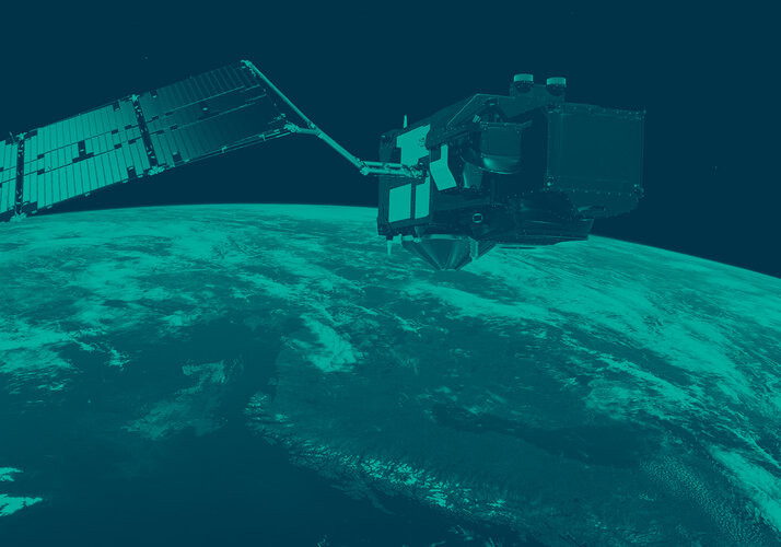
Satellites orbiting the planet play an important role in delivering data to understand and monitor how our world is changing – data that are key for mitigation strategies and policymaking.