Marine services
The Copernicus Marine Environment Monitoring Service delivers information on the physical and biogeochemical state and dynamics of the ocean to help protect and manage the marine environment and resources more effectively.
The service is a legacy of of the EU-funded MyOcean project developed within the Framework Programmes 6 and 7 (FP7 and H2020).
The Copernicus Marine Service supports four main domains:
- Marine safety, with services such as hydrodynamic forecasts and remote sensing blended products and forecasts for sea ice – supporting applications like marine operations, oil spill combat, ship routing, defence, search & rescue.
- Marine resources, with services such as long time-series of in-situ and remote-sensing products, as well as analysis, reanalysis and forecasts of hydrodynamic and ecosystem models – supporting applications such as fish stock management.
- Marine and coastal environment, with services as the above – supporting environmental applications such as monitoring water quality, pollution, coastal activities.
- Seasonal and weather forecasting, with services such as long time-series of in situ and remote-sensing products, as well as reanalysis of physical parameters at various temporal resolutions (monthly, seasonal, yearly) and short-term forecast of ocean properties at global and regional scale – supporting applications like climate monitoring, ice surveys.

The Copernicus Marine Service processes observation data into quality-controlled datasets at various thematic data assembly centres and runs numerical ocean models in near-real time. The data are assimilated to generate analyses and forecasts for different regions, namely, the Arctic Ocean, Baltic Sea, Atlantic European North West Shelf Ocean, Atlantic Iberian Biscay Irish Ocean, Mediterranean Sea, Black Sea, and for the global ocean. Reprocessing and reanalysis are also performed.
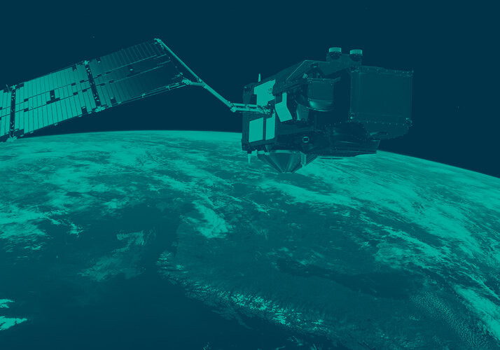
Copernicus services base their activities on the provision of satellite imagery and data from the Sentinel constellations and contributing missions.
Sentinel-1 provides all-weather day-and-night measurements of sea ice. Sentinel-3 contributes to the Copernicus Marine Service with its sea level, ocean colour and sea surface temperature data, improving observations and models.