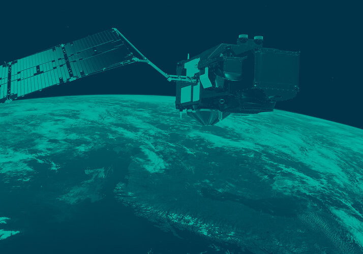
Sentinel-3 provides faster data for Europe fires
Satellite data from the Copernicus Sentinel-3 mission is reaching emergency services up to three times faster, enabling a quicker response to wildfires in Europe – all thanks to teams at the European Space Agency (ESA) and Eumetsat, who developed an improved strategy for transmitting data from satellites to ground stations.
The Copernicus Sentinel-3 mission is crucial for gathering Earth observation data about our oceans, land and atmosphere, using state-of-the-art, high-resolution imaging, radiometry and topographic instruments. The mission normally delivers data within three hours of capture, which is its standard global near-real-time delivery requirement.
Copernicus participating countries asked if the mission could deliver fire detection datasets faster, so teams from both ESA and Eumetsat investigated ways to improve the process. They found that, by changing the cut-off point for data to be downloaded to the ground station, they were able to deliver images taken over central and southern Europe to end users within 60-90 minutes, rather than the three hours usually needed.
How satellite data can reach Earth faster
To understand how this was possible and what actually changed, first of all it’s useful to know that Sentinel-3 satellites orbit around Earth along near-longitudinal lines, passing over both the North and South polar regions. Thanks to the large field of view of its optical instruments, Sentinel-3 covers the whole globe on average every 36 hours.
Sentinel-3 takes about 100 minutes to orbit once around the Earth and the data captured during each orbit are normally downlinked in one go once the satellite has a clear line of sight to the Svalbard ground station, in Norway, with the oldest data transmitted first.

The teams understood that, to get the most recent data over Europe as the satellite flies northwards, they had to enable the satellite to transmit and capture data quasi-simultaneously while within sight of Svalbard’s antenna. So, in other words, the satellite continues to download the data captured during its completed orbit, but it then additionally transmits data captured as it flies over the ground station. Previously the data cut-off point would be just after the satellite gains visibility of the Svalbard antenna (roughly as it flies over northern Germany). While months of on-ground testing have gone into this new process, it has been more regularly used in-orbit since 3 August.
The results speak for themselves: data over much of Europe were available for end users within about 90 minutes – approximately twice as fast as the standard three-hour requirement, although some data were even delivered within 60 minutes.
Satellites supporting emergency responses
According to Simon Proud, ESA’s co-Mission Scientist for Sentinel-3 NG, this will enable data to reach emergency services sooner. “It allows a quicker response – especially in sparsely populated areas in Europe – and potentially it could limit damage from fires. As many of the Copernicus missions were primarily designed for mapping and policy, rather than for emergency response, it's great to see Sentinel-3 going further and being useful beyond its design.”
As wildfires have taken hold of large areas of countryside in many European countries this summer, this improved delivery time will make a real difference. The mapping component of the Copernicus Emergency Management Service (CEMS), which provides free data to support emergency responses to disasters, has been activated 41 times for wildfires in Europe since 1 May (as of 17 August).
One recent activation was for a fire in an area about 70 km east of Serbia’s capital, Belgrade. This is within the area covered by Sentinel-3’s new strategy and, according to Simon Proud, data was provided over this area within an hour. He noted, “For this region, the time it takes to deliver the data has improved a lot. Before, it was taking around three hours for users to get data over Serbia – it’s now three times faster, which is a very substantial and useful improvement for future emergency situations.”

Continuing the legacy of Sentinel-3
The Copernicus Sentinel-3 mission has been in orbit for a decade, with the first satellite in the family launched in 2016. It is operated jointly by Eumetsat and ESA on behalf of the European Commission. Copernicus is the Earth observation component of the European Union’s Space programme.
Currently Sentinel-3A and Sentinel-3B are in orbit but they will soon be joined by a third satellite. Sentinel-3C is due to launch on board Vega-C from Europe’s Spaceport in French Guiana on 14 September (22:21 local time, 03.21 CEST on 15 September).