

Charting sea level
As the next radar altimetry reference mission, Copernicus Sentinel-6 is continuing the long-term record of sea-surface height measurements that were started in 1992 by the French–US Topex Poseidon satellite and then by the Jason series of satellite missions.
Since sea-level rise is a key indicator of climate change, accurately monitoring the changing height of the sea surface over decades is essential for climate science, for policy-making and, ultimately, for protecting the lives of those in low-lying regions at risk.
Satellites tracking the changing height of the ocean surface show that global mean sea level has risen, on average, by just over 3 mm every year since 1993. Even more worryingly, this rate of rise has increased in recent years. The role of Copernicus Sentinel-6 is not only to continue this critical ‘gold standard’ record for climate studies, but also to measure sea-surface height with greater precision than before.

Access the video
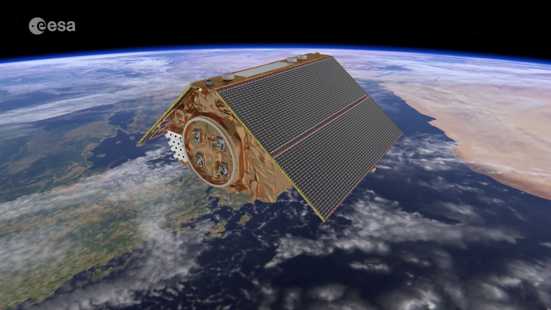
The Copernicus Sentinel-6 mission comprises two identical satellites launched five years apart. Firstly, Copernicus Sentinel-6 Michael Freilich on 21 November 2020 and then Copernicus Sentinel-6B on 17 November 2025 to supply measurements until at least 2030.
The satellites reach 66°N and 66°S – a specific orbit occupied by the earlier missions that supplied the reference sea-surface height data over the last three decades. This orbit allows 95% of Earth’s ice-free ocean to be mapped every 10 days. Sentinel-6 builds on heritage from the Jason series, ESA’s CryoSat satellite and the Copernicus Sentinel-3 mission.
Each Sentinel-6 satellite carries an altimeter that works by measuring the time it takes for radar pulses to travel to Earth’s surface and back again to the satellite. Combined with precise satellite location data, altimetry measurements yield the height of the sea surface.

Moreover, Sentinel-6 brings, for the first time, synthetic aperture radar into the altimetry reference mission time series. To ensure that no bias is introduced into the time series data, the radar instrument delivers simultaneous conventional low-resolution mode measurements as well as the improved performance of synthetic aperture radar processing that yields high-resolution along-track measurements.
The satellites’ instrument package also includes an advanced microwave radiometer provided by NASA. Water vapour in the atmosphere affects the speed of the altimeter’s radar pulses – and therefore estimates of sea-surface height. The advanced microwave radiometer accounts this water vapour to ensure that measurements are accurate.
As well as mapping the height of the sea surface to understand long-term change, Copernicus Sentinel-6 also provides data for practical ‘operational’ applications. For example, the mission measures significant wave height and wind speed, data that are used for near-real time ocean forecasting. In fact, satellite altimetry provides the most comprehensive ocean sea-state measurements available today.
Over land surfaces, Sentinel-6 also provides information on the height of rivers and lakes in support of hydrology applications.
While Sentinel-6 is one of the European Union’s family of Copernicus satellite missions, its implementation is the result of a unique cooperation between ESA, Eumetsat, NASA and NOAA.
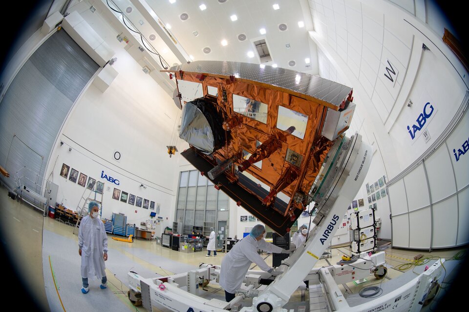
The two Sentinel-6 satellites are designed and built by a consortium of 58 companies under Airbus Defence and Space Germany. The satellites are carried into orbit on a SpaceX Falcon 9 rocket from Vandenberg in California, US. Eumetsat is responsible for the ground segment development, operations in orbit after commissioning, data processing and distribution in Europe. NASA and NOAA share responsibility for the distribution of data products to users in the US.


