Space agencies work together to improve land-surface temperature monitoring
As the demand for interoperable data increases, space agencies are collaborating to ensure that similar types of data from comparable satellite sensors can be used together to maximise their scientific value. Today, at the Living Planet Symposium, one of the focal points was thermal imaging, which is critical for monitoring land-surface temperature.
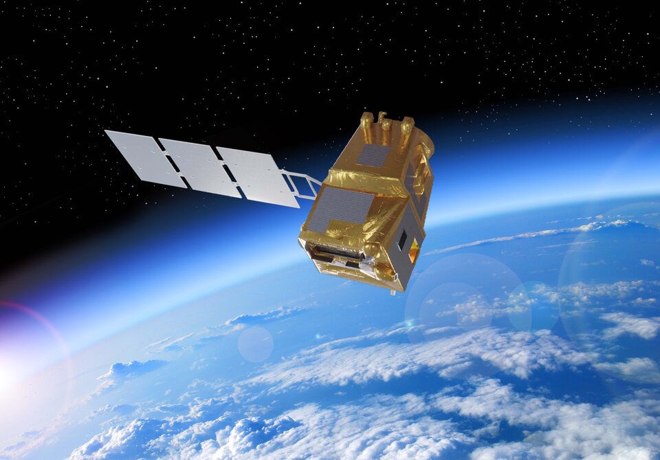
Missions such as the upcoming Copernicus Land Surface Temperature Mission (LSTM) and the Thermal Infrared Imaging Satellite for High-Resolution Natural Resource Assessment (TRISHNA) – a joint mission between the French Space Agency (CNES) and the Indian Space Research Organisation (ISRO) – will both carry thermal-infrared instruments.
These two missions will be key to monitoring land-surface temperature for applications related to agricultural productivity, drought prediction, water resource management, and addressing issues such as urban heat islands.
Ensuring data comparability between these missions is essential for identifying and understanding measurement biases that may affect one mission relative to the other.
Therefore, ESA and CNES have partnered through a project called TIRCALNET to jointly calibrate the two sensors before launch.
Participants at the Living Planet Symposium learned how this works in practice.
The project involves setting up various sites around the globe that feature surfaces with varying spatial and temporal stability in emissivity. Instrumentation will be installed to automatically and continuously collect surface measurements that simulate the signal a satellite sensor would detect at the top of the atmosphere. This will allow the satellite sensors to be calibrated against a reliable reference.
While similar efforts exist for satellite optical sensors, a harmonised ground calibration network for thermal-infrared sensors is still needed. Such a network – aligning site measurements and radiative transfer – will provide a crucial calibration resource for the rapidly growing domain of high-resolution land-surface temperature missions, which is gaining momentum among space agencies and commercial actors alike.