Wildfire Map wins top prize at App Camp
An app that uses satellite data to show the location and impact of wildfires took home the top prize at this year’s Space App Camp.
In its tenth edition, the camp is geared to making Earth observation data, in particular from the Copernicus programme, accessible to a wide range of citizens using smart phones and personal devices. During the eight-week long camp, 17 app developers from 17 different countries had to come up with innovative ideas for mobile apps in different fields: artificial intelligence, machine learning, Earth observation for smart cities, marine litter and coastal zone management, fire detection, the transport sector and natural resource management.
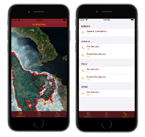
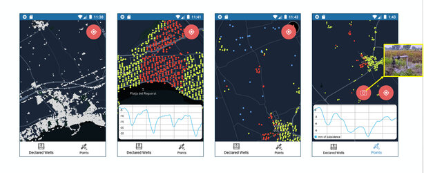
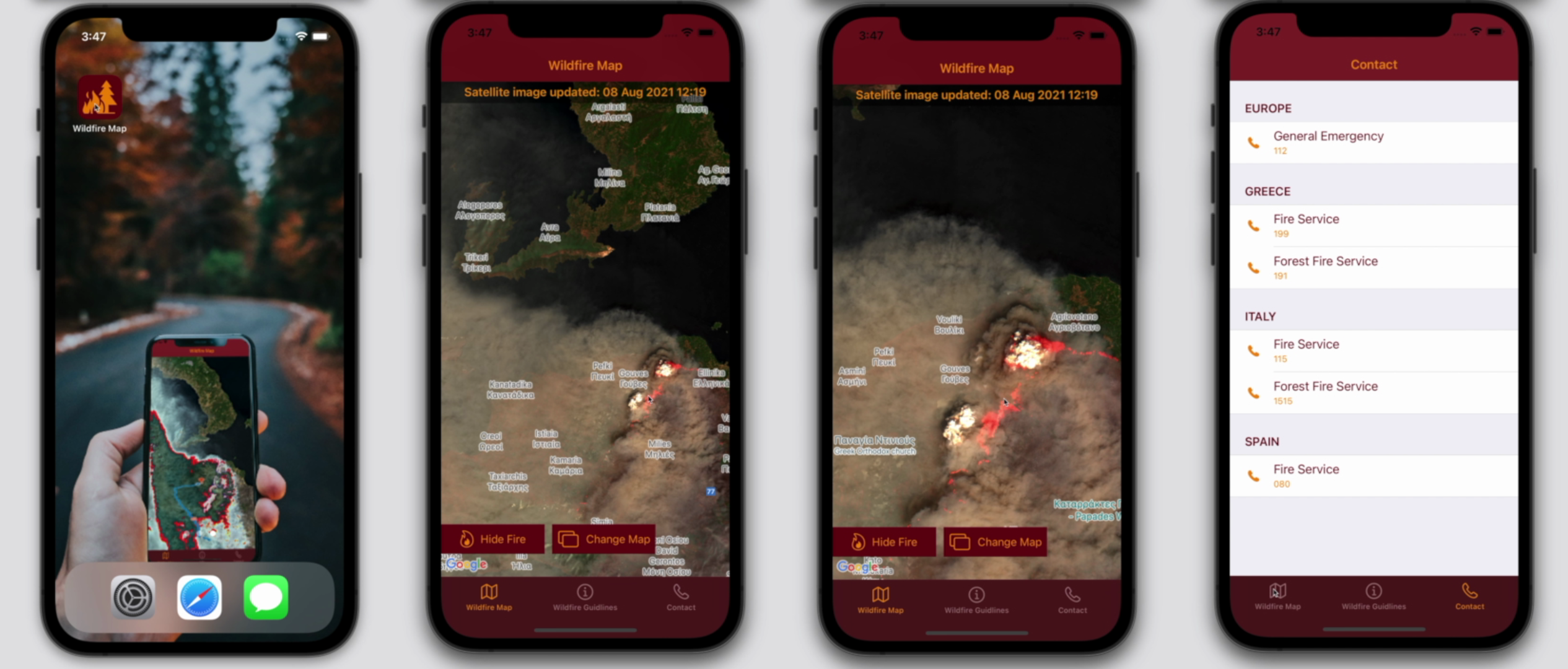
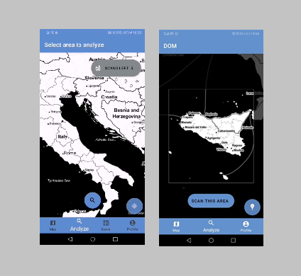
The winning team developed an app called Wildfire Map, which shows the location and impact of recent wildfires via accurate and timely maps. Since wildfires are becoming one of the biggest threats to people and property around the world owing to climate change, this app could be of help to a wide range of users such as owners of property and assets at risk, local authorities and organisations, businesses, NGOs and private companies, and even individual users. The app could also complement the Copernicus Emergency services by providing additional real time and localised information to citizens.
For the first time, ESA offered an enhanced mentorship programme, which was supported by dedicated experts in Earth observation, artificial intelligence, data modelling, intellectual property protection, business development and marketing. The camp also benefited from the involvement of exceptional guests from ESA’s Ф-lab, ESA’s Business Incubation Centres, ESA’s InCubed Programme and the Copernicus Masters Competition, as well as Thomas Reiter – the acclaimed ESA astronaut and former ESA Director of Human Spaceflight and Operations.
“This year’s Space App Camp proved yet again how important it is to enable the next generation of researchers in advancing their skills and ideas to take full advantage of Copernicus data,” said Toni Tolker Nielsen, ESA’s Acting Director of Earth Observation Programmes.
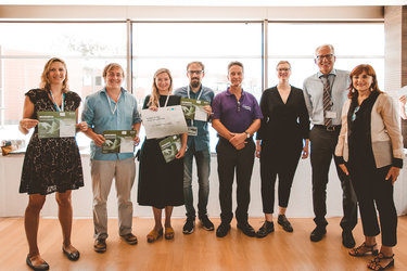
The winners were awarded a prize of €2500 in cash, a trip to Germany for ESA’s Living Planet Symposium next year and a unique Earth observation support package worth about €3500 to allow them to continue working on their winning app idea.
“The ESA Space App Camp was a unique and exciting experience," commented Nils Weber, one of the winners. “I only had programming experience, which complemented well with the other members who knew image processing, business development or design. Everyone contributed their strengths, which complemented each other wonderfully. I appreciated the comfortable environment for rapid prototype development, as well as international cooperation across several time zones.”
Other apps recognised during the camp for their impact and innovation potential included:
Float, winner for the Best Sustainability Impact, offers the solution to see, track and report large concentrations of floating plastic waste around coastal areas for cleaning-up efforts.
FORTISKY, winner for the Best Business Idea and the Best Data Mashup, combines different satellite data and in-situ data to provide customers with the fastest and easiest way to gather information of an area of interest.
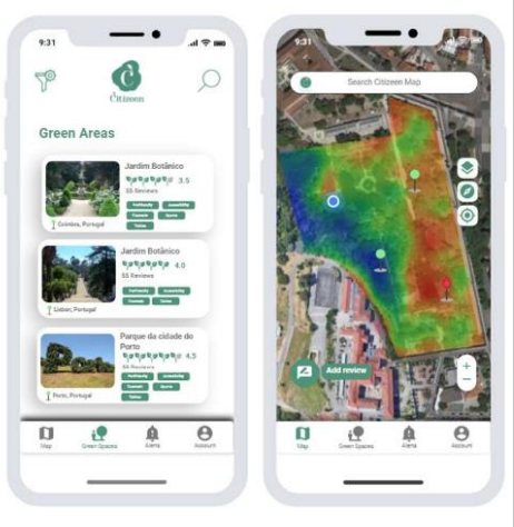
Citizeen, winner for the Best User Interface, is an app idea that helps to locate and monitor thousands of green spaces remotely with space technology.
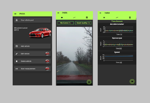
PARA, winner for the Best Foresight, detects road quality using local measurement and satellite images to improve route planning for transportation services, for example.
Pace Vector, which, using satellite data, estimates the velocity of trains, cars and trucks. The app has the potential to help mitigate traffic accidents and help decision-making on road traffic management and maintenance, for example.
MyField allows farmers to prepare for an upcoming growing season by predicting rainfall with information from Copernicus Sentinel-3.