Farmers to benefit from ESA–BASF collaboration
With farming an exacting science, ESA and the world’s leading chemical company, BASF, have joined forces to see how data from satellites can best serve the agricultural community.
Through a collaboration agreement and in close partnership with farmers, the aim is to translate satellite imagery and data into digital tools and services.
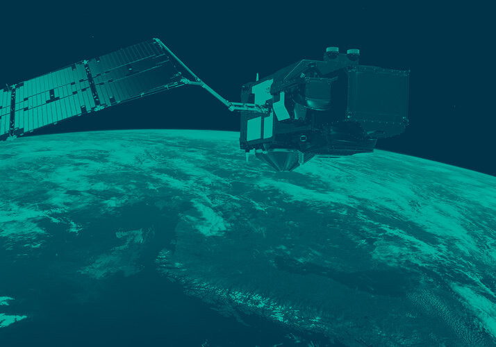
Satellites, in particular the fleet of Copernicus Sentinels, offer a valuable source of information for digitally-based crop management.
This new agreement will make it easier for farmers to plan everyday tasks more efficiently.
For example, they will be provided with more targeted agronomic advice on the use of crop-protection products and machinery. They will also have information for a variety of agriculture decisions, such as optimal planting and harvesting times.
Dr Rainer Preuss, Vice President of Global Strategy & Portfolio Management at BASF Crop Protection, said, “We want to deliver customer value through innovations that address farmers’ changing environmental and economic needs.
“Initiatives like this are an important contribution to our approach to innovation. Our expertise and the leverage we create with our partners enable us to develop tools with a focus on agronomic insights to help farmers manage their operations more successfully.”
Josef Aschbacher, Director of ESA’s Earth Observation Programmes, added, “We will, together with BASF and farmers, focus on delivering realtime satellite-based information to optimise fertiliser use and reduce water demand for irrigation systems.
“This will both benefit the environment and bring down costs. Data from our satellites can also be used to improve yield prediction, assuring a return on European investments in space.”
Through the collaboration, BASF provides experts as well as information from the company’s areas of specialisation such as agricultural knowhow, field data and feedback from farmers. ESA supports the project by providing satellite images and data.