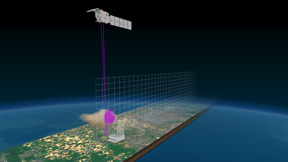
EarthCARE’s atmospheric lidar
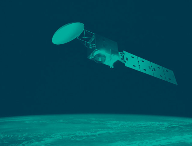
The EarthCARE satellite carries four instruments that together shed new light on the role that clouds and aerosols play in regulating Earth’s climate. One of these instruments is the atmospheric lidar.
The atmospheric lidar collects profiles of optically thin clouds and aerosols. It is used together with data from the cloud profiling radar and the multispectral imager to derive cloud top height and aerosol physical properties, as well as classification of the various atmospheric components.
This half-tonne instrument generates its own light source to scan the atmosphere, so it consumes a lot of power; almost 500 W to generate the high-power laser beam.
It is a high-spectral-resolution light detection and ranging (lidar) instrument that emits an ultraviolet wavelength laser beam. This wavelength, invisible to the naked eye, was chosen to optimise the resolution for atmospheric measurements. The atmospheric lidar lies at the heart of the satellite, with a 62 cm receiving telescope and twin emitter baffles underneath. The optical design is bistatic, meaning that it uses separate optics for the laser transmitter and for the receiver.

Transmitter
The ultraviolet laser beam is generated in the instrument transmitter. An intermediate reference signal, at 1064 nm, is generated using a laser in the reference laser head. This reference signal is used as the seed laser in the power laser head. Within the power laser head the seed signal is converted to 26 ns pulses with a repetition rate of 51 Hz. The pulses are amplified, to reach an average pulse energy around 31-35 mJ, and the frequency is tripled to transform it to the desired 355 nm ultraviolet output.
The beam is emitted through an emission beam expander to produce a footprint that is 15 m on the ground and pointing 3 degrees backwards of satellite nadir, to minimise specular reflection from ice clouds. A beam steering mirror within the power laser head allows alignment of the return signal onto the receiver telescope. The output beam from the transmitter is linearly polarised.
Scatter in the atmosphere
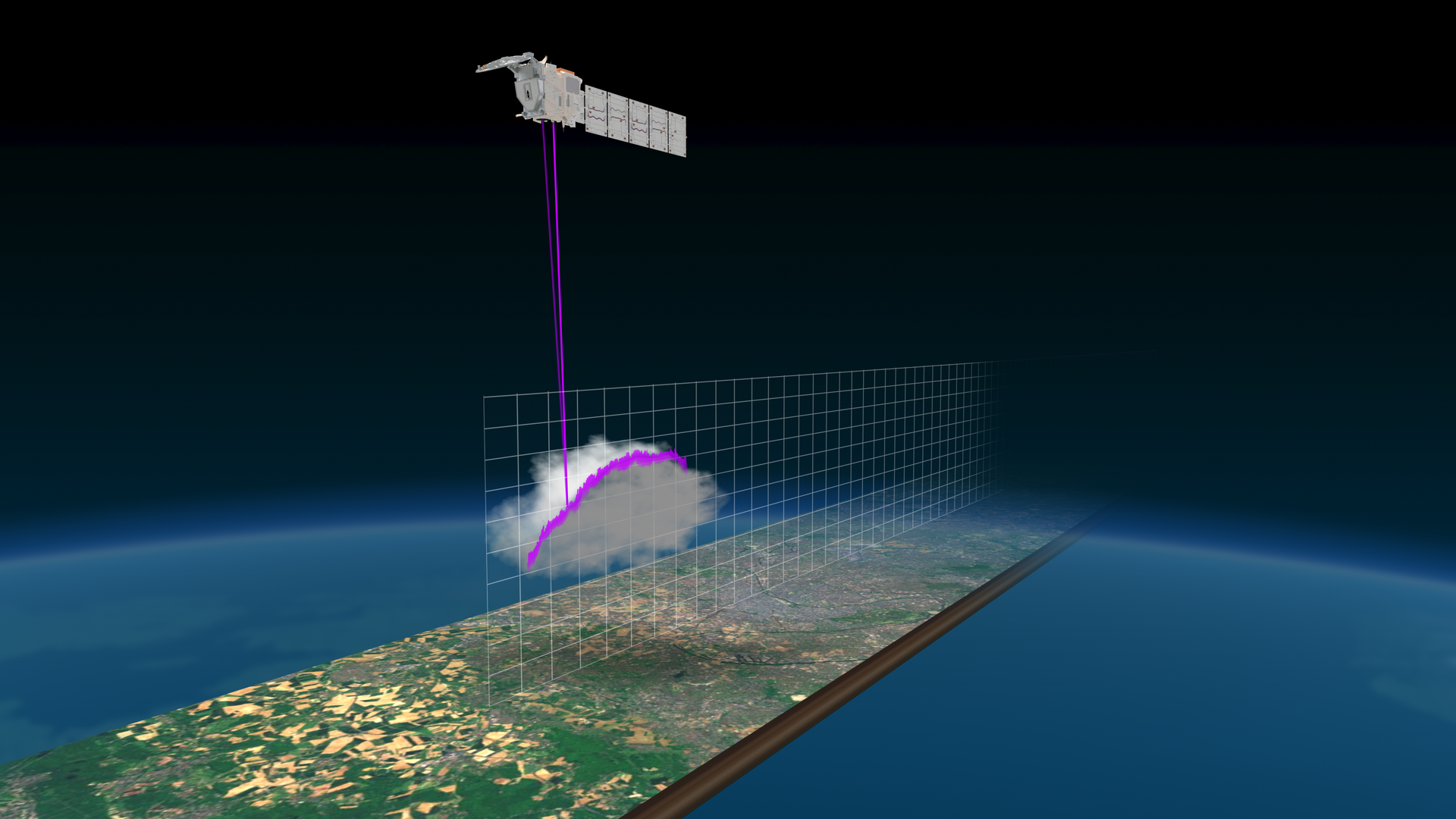
Once it enters the atmosphere, the ultraviolet light can be scattered when it encounters aerosol particles and molecules before it is eventually extinguished in clouds or reaches the ground. Some part of the scattered signal is backscattered towards the satellite to be collected by the instrument’s receiver. Light that scatters off aerosol particles remains at the emitted wavelength, Mie scattering. However, light that scatters off molecules undergoes a process that causes its wavelength spectrum to be broadened, Rayleigh scattering.
Receiver
The receiver optical chain splits the received signal into three channels. A cross-polar channel measures backscattered light whose polarisation has been rotated by 90 degrees with respect to the transmitted signal. Two co-polar channels, where the polarisation of the light has not been rotated, measure the light scattered from aerosol particles and from molecules respectively. This is achieved with a high spectral resolution etalon filter, that separates the spectrally narrow ultraviolet signal at 355 nm from the part of the signal that has been spectrally broadened, corresponding to the scatter from aerosol particles and the scatter from molecules respectively.
The instrument records signal level against the receive time, which corresponds to the altitude at which the backscatter occurred. The background signal from naturally occurring ultraviolet light is removed in the ground processing. A small part of the signal is also transported to a co-alignment sensor and used to optimise the alignment of the transmitter and receiver paths by controlling the drive of the beam steering mirror in the transmitter.
The atmospheric lidar provides a vertical resolution of 103 m from the ground up to 20 km altitude and 500 m in the range 20–40 km altitude.
Over a three-year lifetime the atmospheric lidar will have generated approximately five billion laser pulses, or just over 2 minutes of laser light.
Development of the atmospheric lidar development was led by Airbus Defence and Space in France.