
IRIDE mission control, data and services
The data gathered by IRIDE’s satellites are transmitted to space antennas and downloaded to a network of ground stations all over the world.
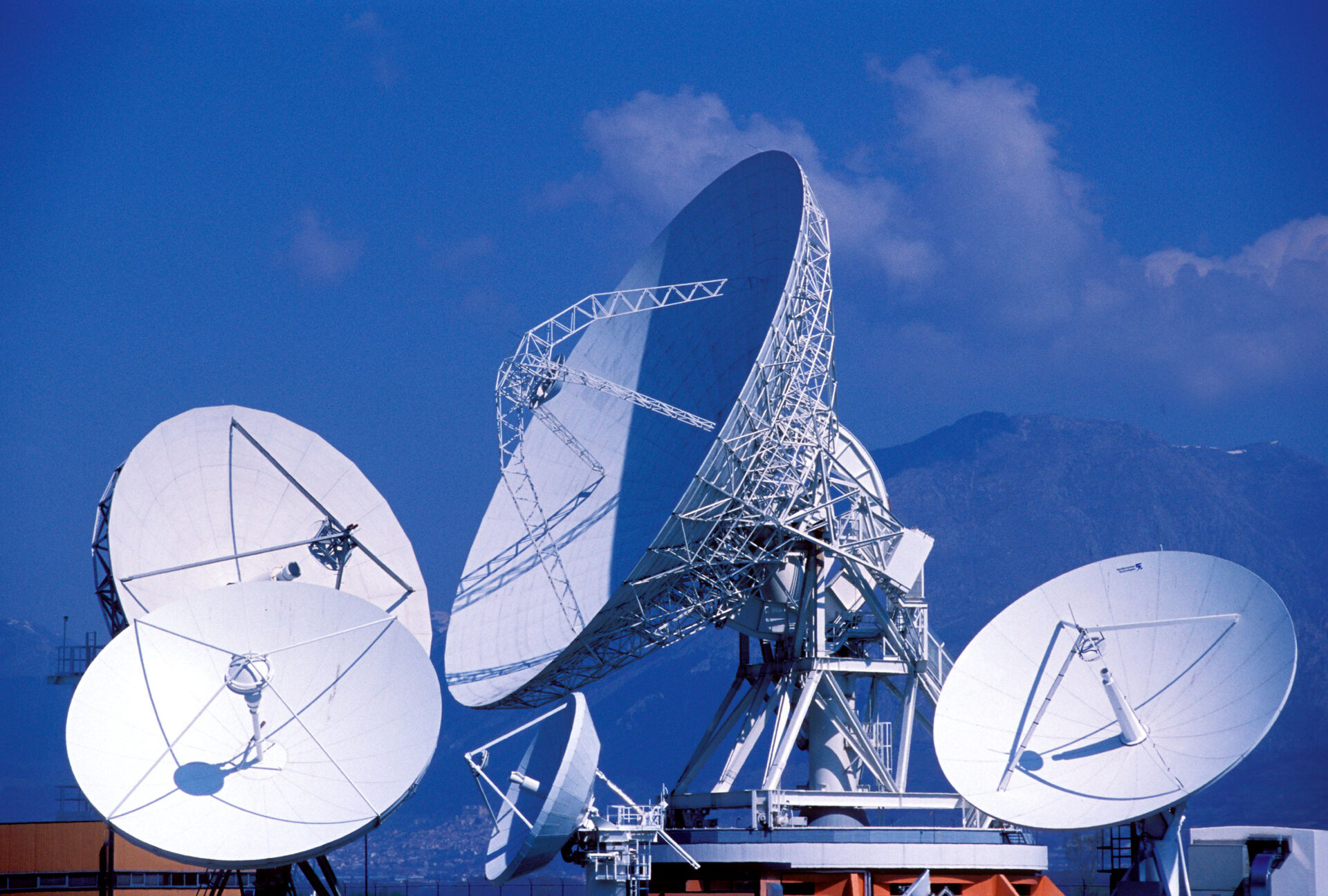
The baseline configuration of the stations used for commanding the satellites and acquiring data is shown below. This station network can be extended if needed.

Once the datasets are acquired, they are sent to operational centres in Italy where they are processed, analysed, archived, distributed and used in a variety of services and products.
This part of the operations is known as the ‘downstream’.
IRIDE’s operational activities, include:
Central mission planning and monitoring
This is where overall system activities are planned, ensuring coherent usage of resources across the various constellations, and providing monitoring and reporting capability for the overall IRIDE system.
Flight operations
This is the element responsible for issuing commands to satellites, planning their activities, and monitoring their functional status. Moreover, it performs the acquisition of data from the satellites. Four Flight Operations Systems are available for IRIDE serving different constellations.
Payload data ground segment
This is where the data acquired from satellites are processed to generate Earth observation products, as well as quality control, calibration and data storage.
Marketplace
This is a platform that enables access to data from both IRIDE and external sources, along with associated services. Notably, the ‘Marketplace’ platform not only grants access to services but also facilitates the visualisation, analysis and manipulation of data.
Cyber-Italy
Cyber-Italy provides a digital representation of Italy (a ‘digital twin’), which enables the country’s current state and resource use to be analysed. It also supports virtual simulations.

