Introduction
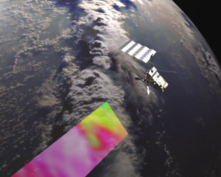
The launch of the first in a series of new satellites called MetOp is set to bring about a new era in the field of meteorology. Launching in July 2006, MetOp-A promises to improve the accuracy of weather forecasting and, in the longer-term, contribute to monitoring climate change and advance our understanding of atmospheric processes.
MetOp will be Europe's first polar-orbiting satellites dedicated to operational meteorology and will complement the geostationary Meteosat series.The series of three MetOp satellites will be launched sequentially to ensure the delivery of continuous, high-quality global meteorological data to improve medium- to long-term weather forecasting and climate monitoring until at least 2020.
With an array of sophisticated instrumentation, MetOp-A promises to provide data of unprecedented accuracy and resolution on a host of different variables such as temperature and humidity, wind speed and direction, ozone and other trace gases – thus marking an unprecedented advance in global weather forecasting and climate monitoring capabilities.
In addition, this new weather satellite carries instruments to observe land and ocean surfaces as well as search and rescue instruments to aid ships and aircraft in distress. Five are new-generation European instruments, whilst the others have a well-proven heritage and have been provided by NOAA and the Centre National d'Etudes Spatiales (CNES).
MetOp was jointly established by ESA and the European Organisation for the Exploitation of Meteorological Satellites (EUMETSAT), forming the space segment of EUMETSAT's Polar System (EPS). MetOp also represents the European contribution to a new cooperative venture with the American National Oceanic and Atmospheric Administration (NOAA).
Monitoring the weather from polar orbit
Polar-orbiting satellites are vital for both operational meteorology and climate monitoring as they can achieve global coverage in a few days and their low orbital altitude can realise very accurate observations. Until MetOp launches, meteorological data from polar-orbiting satellites has had to be procured from the American NOAA weather satellites. After the launch of the first MetOp satellite, responsibilities for meteorological satellite services are shared between the US and Europe.

Consequently, through the Initial Joint Polar Satellite System (IJPS), which is a cooperative venture between EUMETSAT and NOAA, MetOp has been designed to work in conjunction with the NOAA satellite system, whereby MetOp replaces the NOAA 'morning orbit' service whilst a NOAA satellite occupies the 'afternoon shift'. This means that the two satellites fly in complementary orbits, thus offering maximum coverage. This global observing system is able to provide invaluable meteorological data from polar orbit to users within 2 hours and 15 minutes of the measurements being taken.
MetOp carries a set of new-generation European instruments that offer advanced remote sensing capabilities to both meteorologists and climatologists along with a set of 'heritage' instruments provided mainly by the United States. The new European instruments will augment the accuracy of temperature and humidity measurements, wind speed and wind direction measurements over the ocean and profiles of ozone and other trace gases in the atmosphere.