Satellites monitor landslide in the Alps
Climate change-driven glacial melt is causing landslides in alpine regions. Data from the Sentinel-1 satellite mission are being inserted into a new cloud computing system to monitor such hazards globally.
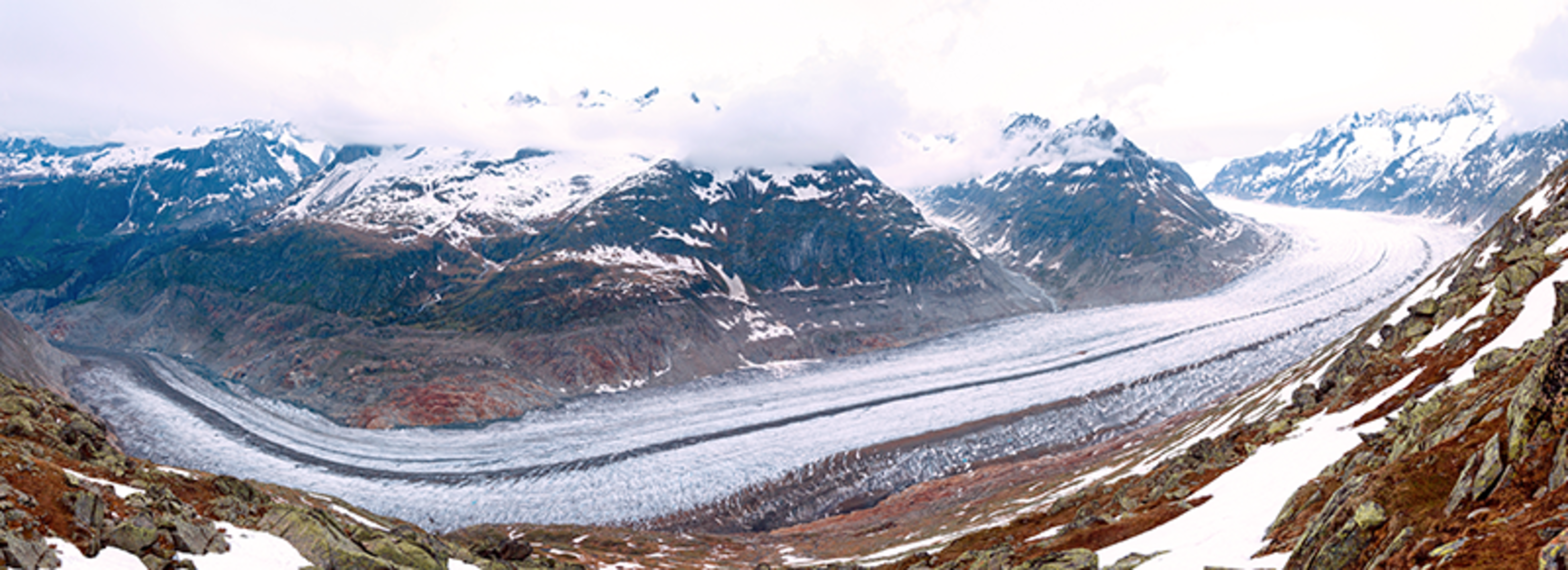
The Aletsch Glacier, the largest in the Alps, is experiencing an average retreat of about 50 m a year. The adjacent rocks that were previously constrained by the ice mass are progressively being released, generating slope instabilities. For this reason, the Aletsch region is a unique place where scientists can investigate how changes in glaciers affect the long- and short-term evolution of rock slope stability.
To monitor the progressive changes occurring throughout a 2 sq km area southeast of the glacier – called the Moosfluh slope – the Chair of Engineering Geology at the Swiss Federal Institute of Technology in Zurich (ETHZ) installed ground-based instruments in 2013.
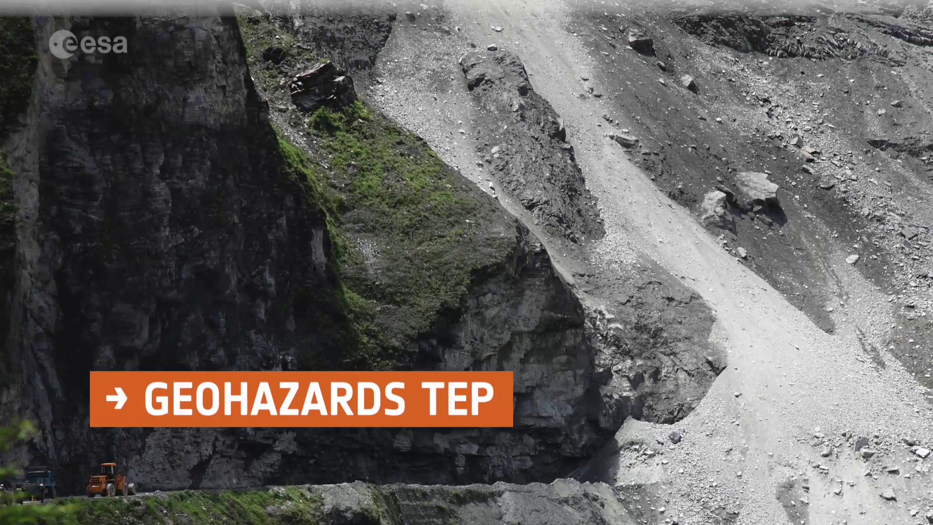
Between September and October 2016, Moosfluh experienced an abnormal acceleration. The deformation generated several deep cracks and rock failures, hindering access to hiking paths visited by tourists, and affecting a cable car station located near the crest of the slope.

To investigate the extent of the landslide further, radar images from the Copernicus Sentinel-1 satellite mission over August to November 2016 were analysed with the ESA’s Geohazards Exploitation Platform – or GEP – to produce a velocity map of the unstable area.
The satellite data also helped scientists to define the most active areas and identify locations to place additional instruments on the ground.
“With the help of satellite data and of GEP, we have improved our capability to monitor the spatial evolution of surface displacements at Moosfluh, as well as to provide a better interpretation of the ongoing physical processes during the critical phase,” said Andrea Manconi from ETHZ.
GEP is one of six Thematic Exploitation Platforms – or TEPs – developed by ESA to serve data-user communities.
These cloud-based platforms provide an online venue to access information, processing tools and computing resources for collaboration, allowing for knowledge to be extracted from the large environmental datasets produced through Europe’s Copernicus programme and from other Earth-observing satellites.
The two-satellite Copernicus Sentinel-1 mission is particularly useful for monitoring geophysical hazards like landslides. The satellites each carry a radar sensor that can detect small changes in the ground between each overflight, every 6–12 days.
The frequency of Sentinel-1’s data acquisition paired with GEP’s processing tools may allow for the quick detection of slope instabilities and their consequential risks.

Access the video