Coastal environment
"Efficient coastal management – in particular flood risk prevention – is top priority in the low-lying Netherlands. GMES services support our organisation in staying in line with new policies and approaches, thereby maintaining our high standards."
Jacques Vroon, Head of Coastal Department, Dutch National Institute for Coastal and Maritime Management.
The world’s three million square km of coastline represent prime real estate, and much more too. As well as being the most populated regions in the world, coastal zones are significant for their rich fisheries, oil and natural gas sites, harbours and transport routes as well as tourism, and include areas of great ecological diversity, such as wetlands and coral reefs.
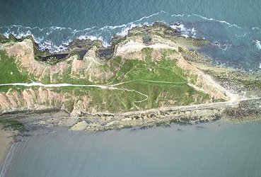
Coastal erosion and deposition are natural processes, but climate change threatens to accelerate them: worsening weather conditions may erode away land more rapidly, or else coastal zones could be inundated by rising sea levels.
In addition to economic impacts, fragile habitats and ecosystems are subject to enhanced stress from increased or interrupted sediment transport. However a quarter of all Europe's 143,000 km shoreline is eroding, despite a wide range of shoreline protection measures.

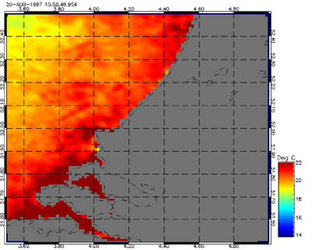
Earth Observation enables large-scale monitoring of erosion and deposition as it occurs, and rates can be calculated against an archive of past images.
New policies promoting sustainable use of Europe's coastal zones, such as the European Water Framework Directive and the European Strategy on Integrated Coastal Zone Management call for more integrated and consistent monitoring and reporting of indicators.
Earth Observation techniques are contributing to meeting this challenge in a cost-effective manner, returning specially tailored data products concerning the status of coastal environments and land use change.


