Satellite imagery for sustainable timber production
Problem: Most timber companies are aware of the potential of satellite imagery; however, only very few of them have in-house expertise in this area and remote sensing is not their core business. Due to the technical barriers related to AI and data analysis, it is difficult for them to tap into the potential of satellite data.
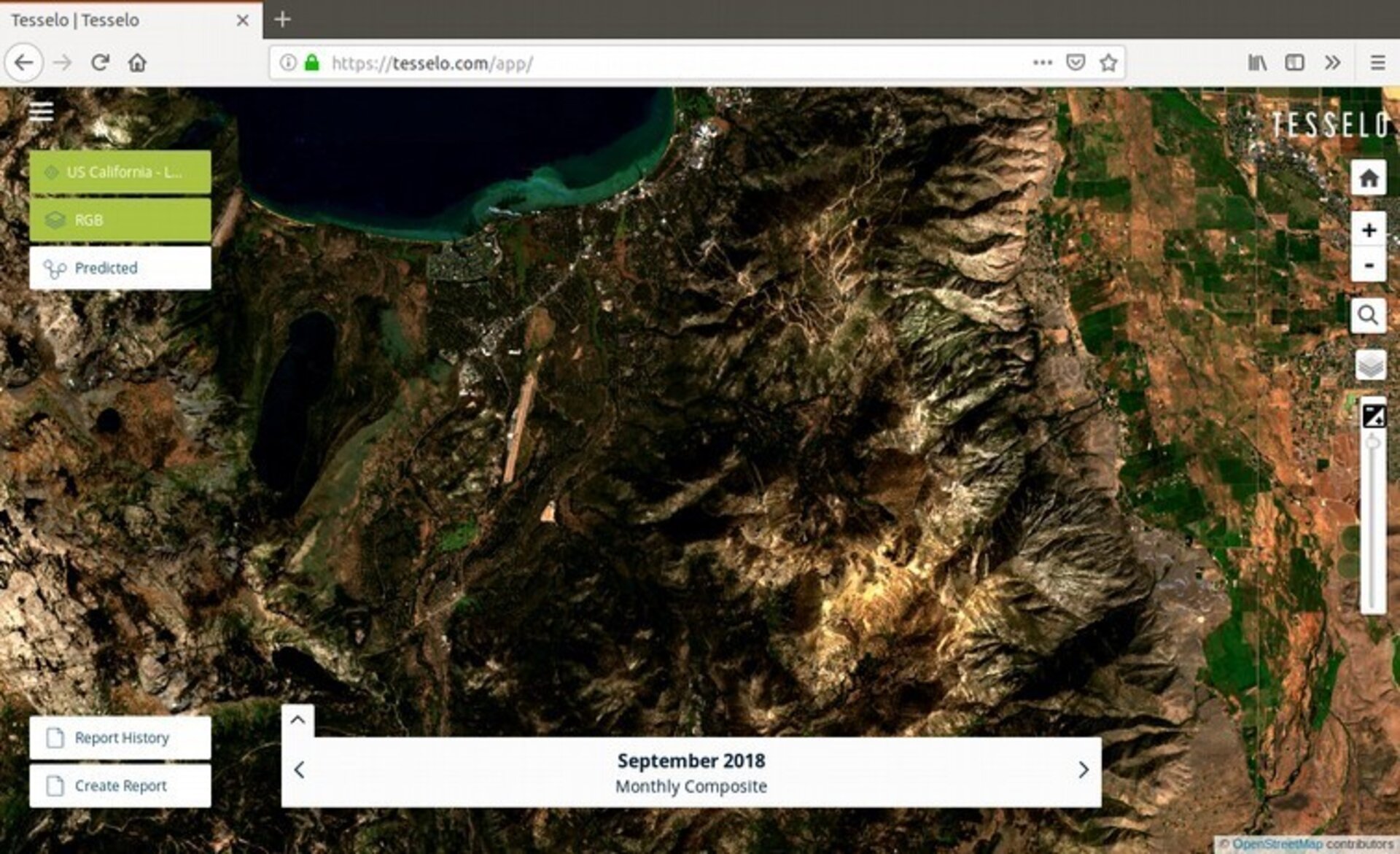
ESA-backed solution: Tesselo is aiming to accelerate the world’s transition towards environmental sustainability through geospatial intelligence. Specifically, the company ingests, cleans and analyses satellite data, then packages it into business insight that is immediately useful for customers. From 2017 to 2018, it was hosted at ESA's Business Incubation Centre in Portugal.
Tesselo's initial focus was on the timber industry, using data from the Copernicus Sentinel-1 and Sentinel-2 satellites to analyse areas spanning millions of hectares to help companies in the timber industry access and gain insight from Earth observation satellite data.