Enabling & Support
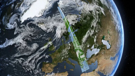
Monitoring Earth's surface
Using satellites to scan Earth's surface reveals a plethora of information that is difficult or impossible to see from the ground. From their vantage point high above us, satellites can collect data on the land, ocean and ice caps to monitor the changing environment and support responses to natural disasters.
Find out more about how space can be used to monitor Earth's surface in our dedicated Discovery & Preparation 'In Focus' article.