

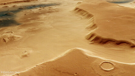
Branched channel at Deuteronilus Cavus on Mars
Closeup perspective view of a branched channel cutting through the southern edge of Deuteronilus Cavus.
The channel may have originally formed from the overland flow of water or as subsurface ice melted or water drained away, collapsing the weakened surface above. The grooved surface texture seen along the floor of the wider parts of the channel also suggests previously present ice, where boulders frozen into the base of a glacier were dragged along, gouging out the troughs visible today.
The oblique perspective view was generated from the digital terrain model, the nadir and colour channels of the High Resolution Stereo Camera on ESA’s Mars Express from data collected 25 October 2024.
[Image description: The wall of the Deuteronilus Cavus depression curves from the bottom left to the middle-right edge of this image, providing a closeup view of the inner crater wall and floor in the foreground, and the outlying terrain in the background. A channel with several branches breaches the crater wall in the centre of the image. Its floor appears smooth with some linear grooves gouged out by debris dragged downhill by glaciers.]
Glacial flow into Deuteronilus Cavus on Mars
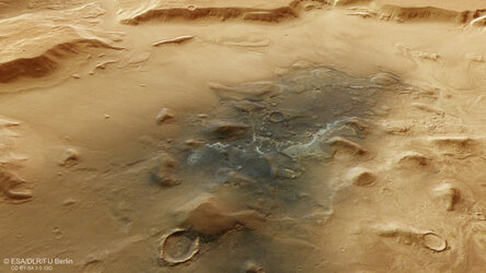
Jumbled blocks and dust on the floor of Deuteronilus Cavus

A broader view of Deuteronilus Cavus

A crumbling crater seen by ESA’s Mars Express
