Trends in polar sea-ice thickness from 2011–2025
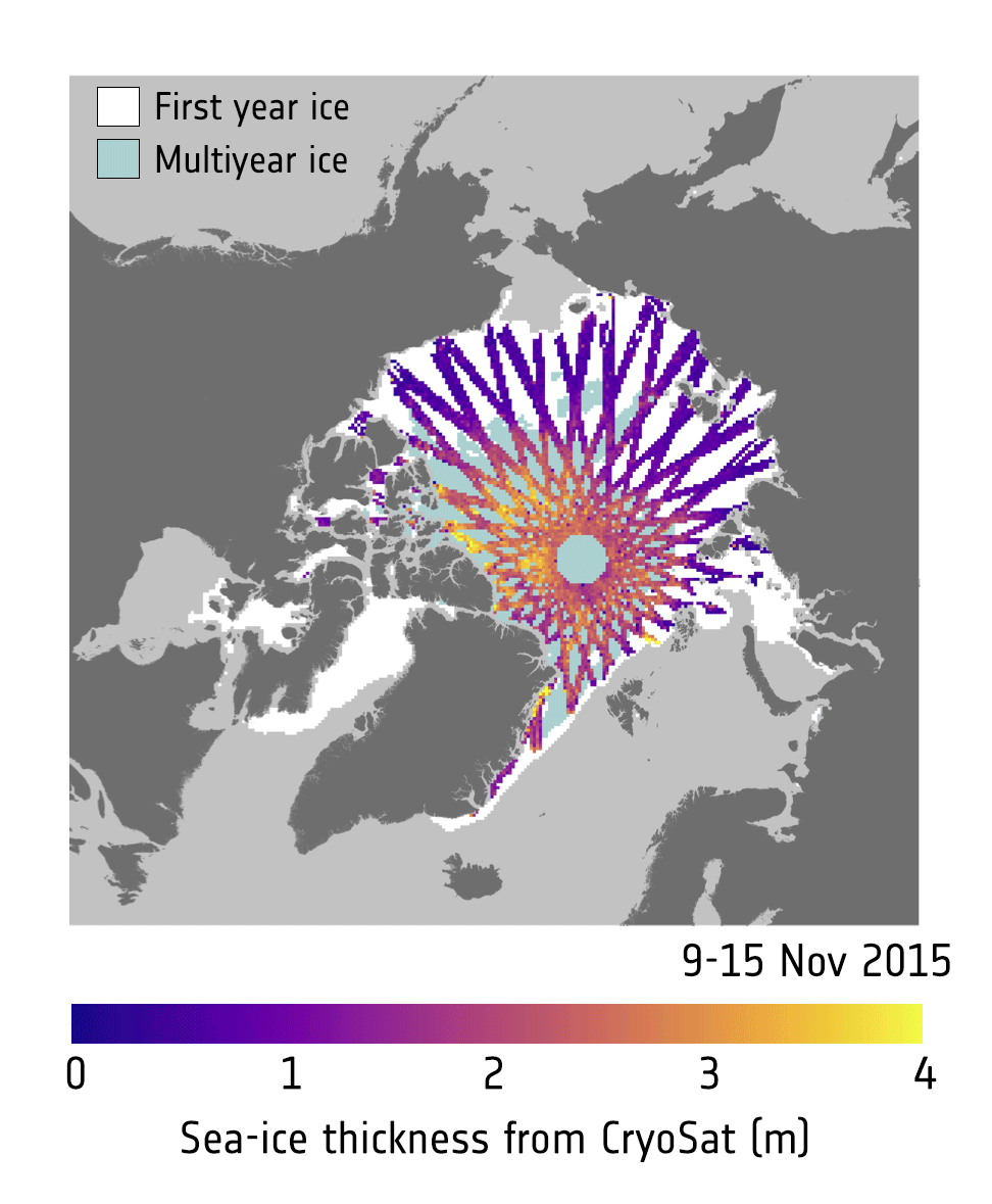
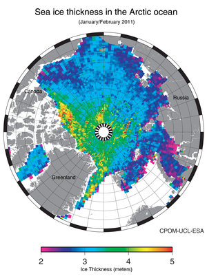
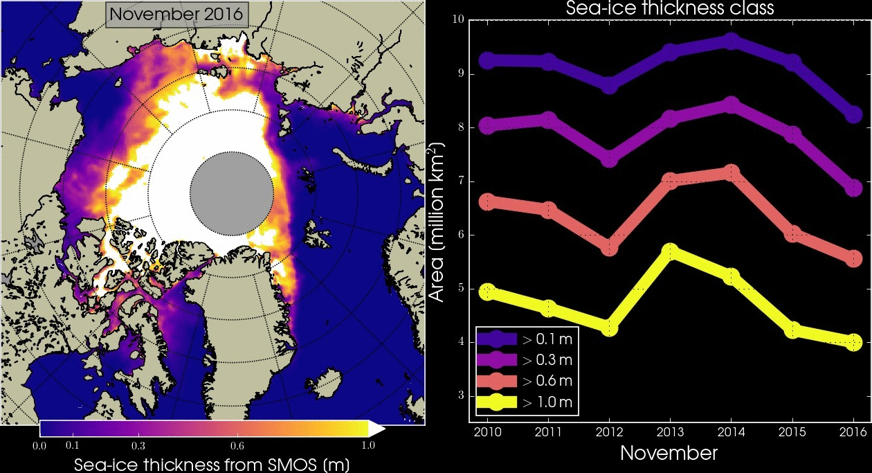
Satellite observations reveal that the extent of sea ice in the Arctic and the Antarctic is diminishing. ESA’s Climate Change Initiative Sea Ice Project compiles datasets from various satellite altimeters, such as ESA’s CryoSat and SMOS missions, and the Copernicus Sentinel-3 mission. These datasets are available to help predict how much sea ice there will be in the future.
This image shows the trends in sea-ice thickness from 2011–2025 measured in metres per decade, for sea ice in the Arctic measured in March when sea ice is at its seasonal maximum, and for sea ice in the Antarctic measured in September when sea ice is at its seasonal maximum.
This dataset was produced within the ESA CryoSat and SMOS production & dissemination service (CS2SMOS-PDS) and the algorithm development was supported by the ESA Climate Change Initiative and the ESA SMOS Expert Support Laboratories.
Read full story: Sea ice lows high on the agenda