Ground displacement following Venezuela earthquakes
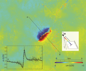
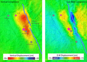
This image shows the ground displacements caused by the twin earthquakes on 24 June 2026. The data was captured by radar instruments on the Copernicus Sentinel-1 satellites, which passed over the northern coast of Venezuela on 24 June, just before the earthquakes occurred, and afterwards on 25 June. The data were processed by the Copernicus Emergency Mapping Service.
The ground displacements in this image are calculated using a technique called interferometry, whereby the radar images at two different times are compared. The radar signal emitted by the satellite is reflected off the ground and can measure to within millimetre accuracy. As the satellite passes overhead, it sends out radar pulses at a diagonal angle, which hit the ground slightly to the side of the satellite’s orbital path over Earth. The measurements therefore detect the distance to the ground according to the satellite’s diagonal line of sight (LOS), so that any vertical displacement or horizontal shift may not be differentiated.
However, since the satellite’s line-of-sight data were not compared with any ground measurements after the event, the map should be viewed as guidance rather than a validated map, with less accurate readings over areas of vegetation.