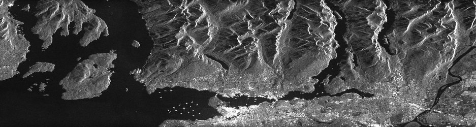
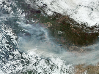
Fires near Vancouver, Canada
This Copernicus Sentinel-2 satellite image, captured on 11 August 2026, shows extensive wildfire smoke spreading across western Canada and into the northwestern United States. The scene comes amid a severe wildfire situation in British Columbia, where more than 100 active fires were reported in mid-August, with numerous fires classified as out of control. Thousands of people have been evacuated, particularly in the Okanagan region, while smoke has been transported southwards into Washington and Oregon.
The Canadian government has also identified British Columbia as facing the highest and most sustained wildfire risk for the 2026 summer season, amid persistent drought and above-normal temperatures.
See a corresponding Copernicus Sentinel-5P image of the distribution of carbon monoxide also from these fires.
See more Earth observation images showing the effects of extreme heat in 2026: Wildfires, drought and extreme heat, 2026