Canadian Arctic from Sentinel-3C
Just two weeks after it was launched, the Copernicus Sentinel-3C satellite returned its first images and measurements from two of its key instruments – a major milestone that confirms the satellite is working well and on the road to monitoring the health of Earth’s oceans, land, cryosphere and atmosphere.
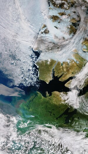
This image, captured by the ocean and land colour instrument on 30 September, features part of the Canadian Arctic Archipelago, to the west of Greenland. Snow- and ice-covered islands dominate the scene, with rugged coastlines, deep fjords and exposed rock creating intricate patterns. At this time of the year sea ice is at a minimum but some fractured floes are visible on the dark open water.
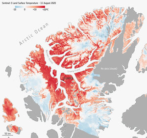
The Arctic is warming much faster than the global average, causing rapid melting of ice on land and sea ice, which leads to further warming through feedback loops. Sentinel-3’s different instruments measure ice in different ways – all contributing to a better understanding of the vulnerable polar regions.
Read full story: Sentinel-3C returns its first views of Earth