Sentinel-3C captures Caribbean shallows
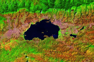
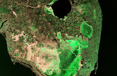
Just two weeks after it was launched, the Copernicus Sentinel-3C satellite returned its first images and measurements from two of its key instruments – a major milestone that confirms the satellite is working well and on the road to monitoring the health of Earth’s oceans, land, cryosphere and atmosphere.
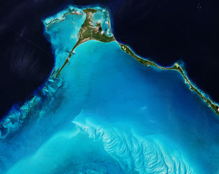
This image, captured on 29 September, by the ocean and land colour instrument, is a spectacular view of part of the Caribbean, with Cuba to the south and the Bahamas towards the top of the image. Shallow waters around the islands appear in a beautiful turquoise set against the darker deeper waters of the open sea.
Low-lying islands and coastal regions around the world are at risk of sea-level rise. Sentinel-3’s synthetic aperture radar altimeter measures changes in the height of the sea surface to help monitor rising seas and contribute to action on climate and mitigation strategies.
The altimeter will also measure changes in the height of lakes, rivers, sea ice and land ice, also complementing the upcoming Copernicus CRISTAL mission.
Read full story: Sentinel-3C returns its first views of Earth