
Oil Spills from Space
In brief
Did you know satellites can help us monitor oil pollution from hundreds of kilometres above the ocean and other water bodies? With the Copernicus Browser, students can explore satellite radar images of oil spills and bilge dumping - major threats to marine ecosystems that often go undetected from the ground. Thanks to data from the Copernicus Sentinel-1 mission, it’s possible to detect signs of ocean pollution, trace their potential sources, and build a clearer picture of how often and where these events take place. Using real satellite data, students can investigate human activity at sea and explore how Earth Observation supports marine protection. Dive in and discover what’s happening on our oceans from space!
In-depth
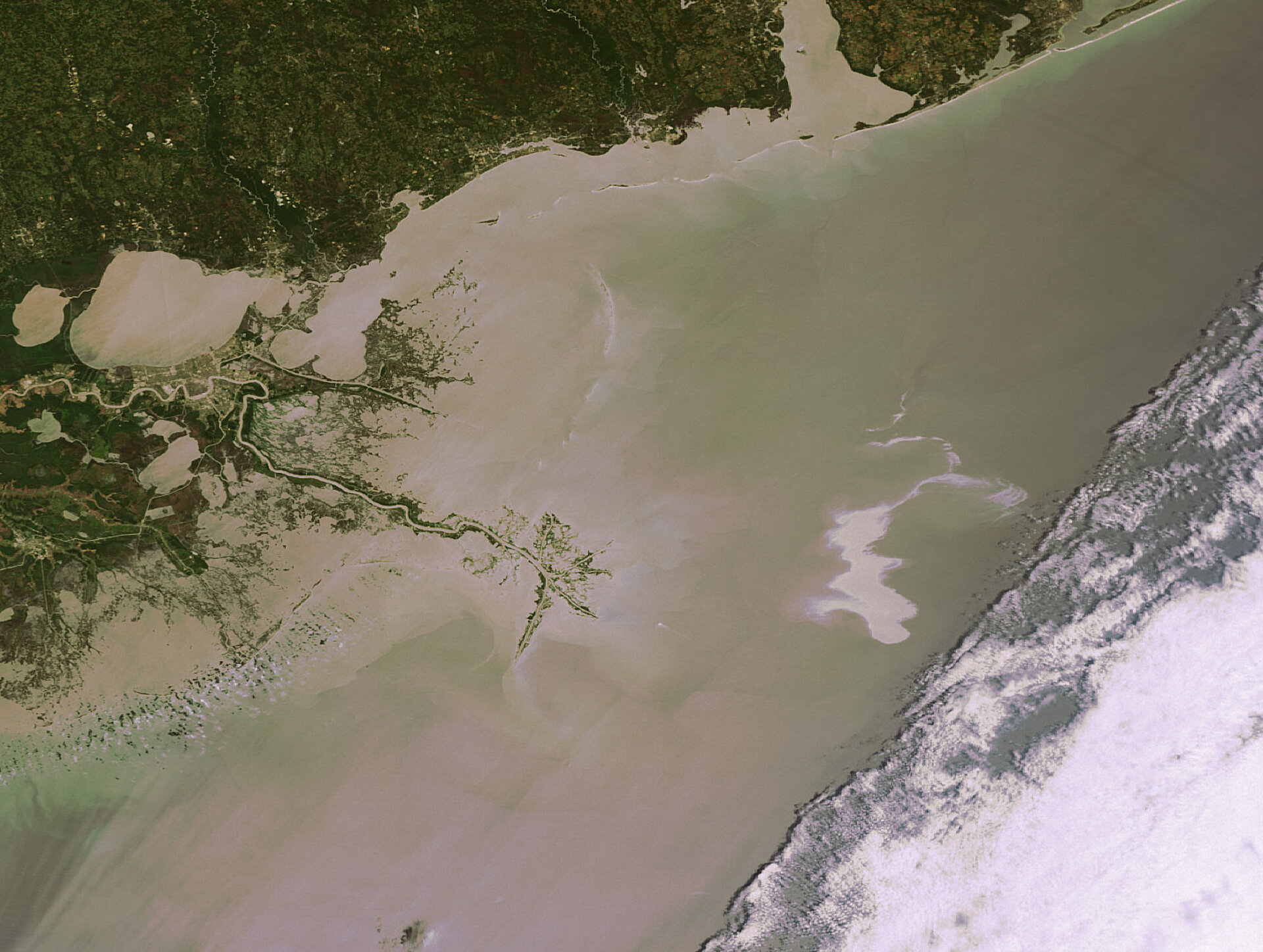
Oil Spills from Space is a practical activity that uses radar satellite data from the Copernicus Sentinel-1 mission to study marine pollution. One key advantage of radar satellites is that they carry active sensors. This allows them to collect data both day and night, through clouds or rain - unlike optical sensors that rely on sunlight and clear skies. This makes them especially useful for monitoring pollution on the ocean surface, where visibility can often be limited.
Oil spills and bilge dumping both release oil into the ocean and other water bodies, but they differ in scale, cause, and visibility. While major spills can result from tanker accidents or pipeline failures, bilge dumping is the routine, often illegal release of oily wastewater from ships. Both can have serious consequences for marine life, coastal communities, and global ecosystems.
With the Copernicus Browser, students can access satellite imagery of locations like the English Channel - one of the world’s busiest shipping lanes - to identify possible signs of pollution. By analysing radar patterns, students learn how oil smooths the sea surface, making spills appear as dark areas contrasted against the surrounding rougher, wind-affected water. They’ll investigate where the spills might have come from, how much oil was released, and consider what the consequences might be.

This case study supports inquiry-based STEM learning by encouraging students to ask questions such as:
- How do radar satellites detect pollution on the ocean surface?
- What are the environmental consequences of oil spills and bilge dumping?
Students will not only interpret radar imagery but also reflect on the broader implications of these events. They’ll consider the strengths of satellite data compared to ground-based observations, discuss how oil spills affect marine ecosystems, and explore real-world strategies to prevent pollution - from stricter regulations to better industry practices.
This activity is designed for learners aged 14–18 and supports curriculum areas such as geography, environmental science, physics, and biology. It brings real satellite data into the classroom and empowers students to explore water bodies like Earth Observation scientists.
To go further, use this case study alongside the Copernicus Browser Teacher Guide, the Algal Blooms from Space case study, and other themed resources such as the Climate Detectives project.
Access the full activity here and start tracking ocean pollution from space!