Facts and figures
Launch: Sentinel-2A on 23 June 2015; Sentinel-2B on 7 March 2017; Sentinel-2C on 5 September 2024
Launcher: Vega rocket from Kourou, French Guiana
Orbit: Polar, Sun-synchronous at altitude of 786 km
Revisit time: Five days from two-satellite constellation (at equator)
Coverage: Systematic coverage of land and coastal areas between 84°N and 84°S
Life: Minimum of seven years
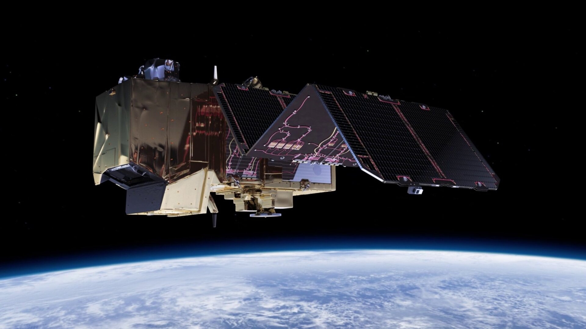
Satellite: 3.4 m long, 1.8 m wide, 2.35 m high
Mass: 1140 kg (including 123 kg fuel)
Instrument: Multispectral imager (MSI) covering 13 spectral bands (443 nm–2190 nm) with a swath width of 290 km and spatial resolutions of 10 m (4 visible and near-infrared bands), 20 m (6 red-edge/shortwave-infrared bands) and 60 m (3 atmospheric correction bands)
Receiving stations: MSI data: transmitted to core Sentinel ground stations and via laser link through EDRS; Telemetry data: transmitted to and from Kiruna, Sweden
Main applications: Monitoring agriculture, forests, land-use change, land-cover change; mapping biophysical variables such as leaf chlorophyll content, leaf water content, leaf area index; monitoring coastal and inland waters; risk mapping and disaster mapping
Mission: Developed, operated and managed by various ESA establishments
Funding: ESA Member States and the European Union
Prime contractors: Airbus Defence and Space Germany for the satellite, Airbus Defence and Space France for the multispectal instrument
Data access: sentinel.esa.int