

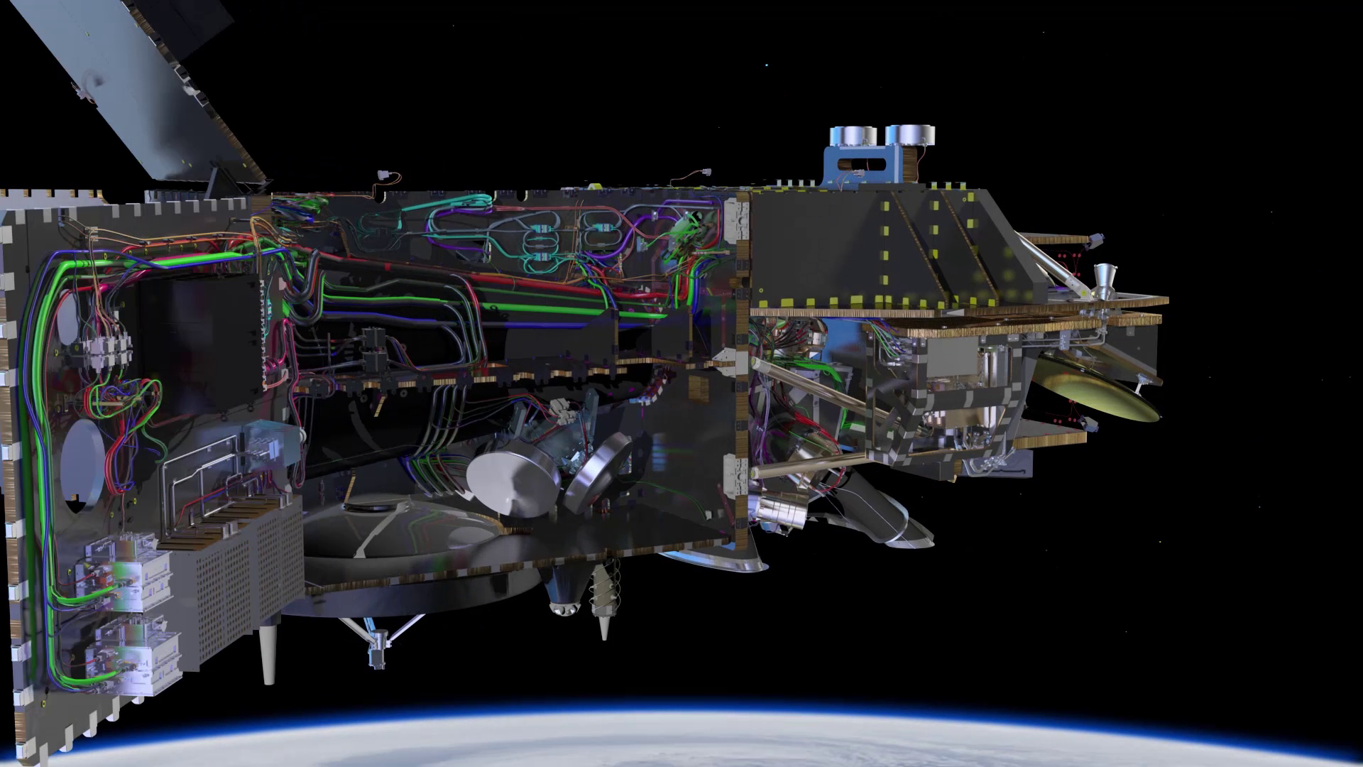
Instruments
Carrying four instruments that work in synergy, Sentinel-3 is arguably the most complex of all the Sentinel missions.
The Sea and Land Surface Temperature Radiometer (SLSTR) measures global sea- and land-surface temperatures every day to an accuracy of better than 0.3 K. Continuing the legacy of Envisat’s Advanced Along Track Scanning Radiometer, it maintains a dual-view along-track-scanning approach and delivers measurements at a spatial resolution of 500 m for visible/near-infrared and short-wavelength infrared channels and at 1 km for the thermal infrared channels.
Furthermore, SLSTR includes two dedicated thermal infrared channels that are optimised for active fire detection and fire radiative power measurement – important for Copernicus Emergency Response and Climate Services.
The Ocean and Land Colour Instrument is based on heritage from Envisat’s Medium Resolution Imaging Spectrometer and features 21 distinct bands in the 0.4–1.02 μm spectral region (or 400 - 1020 nm) tuned to specific ocean colour, vegetation and atmospheric correction measurement requirements. It has a spatial resolution of 300 m for all measurements and a swath width of 1270 km, overlapping the SLSTR swath. OLCI’s new eyes on Earth allow ocean ecosystems to be monitored, support crop management and agriculture and provide estimates of atmospheric aerosol and clouds – all of which bring significant societal benefits through more informed decision-making.
The Sentinel-3 topography package will bring a step change in satellite altimetry, measuring the height of the sea surface, waves and surface wind speed over the oceans. It will also provide accurate topography measurements over sea ice, ice sheets, rivers and lakes. The package includes a dual-frequency (Ku and C band) synthetic aperture radar (SAR) altimeter, which is based on heritage from the CryoSat and Jason missions. It provides measurements at a resolution of approximately 300 m in the along-track direction after SAR processing and will be the first satellite altimeter to provide 100% coverage over all of Earth’s surfaces in SAR mode. The SRAL instrument is supported by the dual-channel microwave radiometer (MWR) that is used to derive atmospheric correction and atmospheric column water vapour measurements necessary to reach the demanding performance requirements for Sentinel-3.


