Earth’s northern biomass mapped and measured
The biomass of the northern hemisphere’s forests has been mapped with greater precision than ever before thanks to satellites, improving our understanding of the carbon cycle and our prediction of Earth’s future climate.
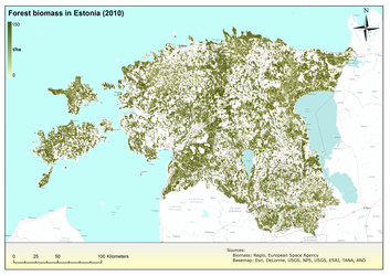
Accurately measuring forest biomass and how it varies are key elements for taking stock of forests and vegetation. Since forests assist in removing carbon dioxide from the atmosphere, mapping forest biomass is also important for understanding the global carbon cycle.
In particular, northern forests – including forest soil – store a third more carbon stocks per hectare as tropical forests, making them one of the most significant carbon stores in the world.
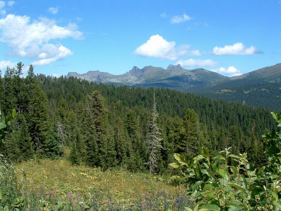
The boreal forest ecosystem – exclusive to the northern hemisphere – spans Russia, northern Europe, Canada and Alaska, with interrelated habitats of forests, lakes, wetlands, rivers and tundra.
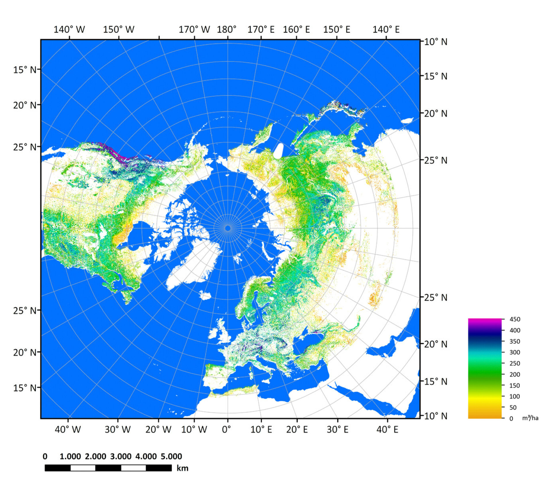
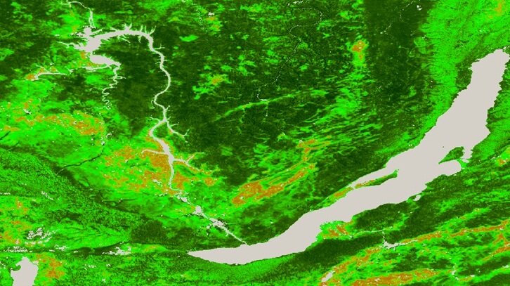
With processing software drawing in stacks of radar images from ESA’s Envisat satellite, scientists have created a map of the whole northern hemisphere’s forest biomass in higher resolution than ever before – each pixel represents 1 km on the ground.
“Single Envisat radar images taken at a wavelength of approximately 5 cm cannot provide the sensitivity needed to map the composition of forests with high density,” said Maurizio Santoro from Gamma Remote Sensing.
“Combining a large number of radar datasets, however, yields a greater sensitivity and gives a more accurate information on what’s below the forest canopy.”
About 70 000 Envisat radar images from October 2009 to February 2011 were fed into this new, ‘hyper-temporal’ approach to create the pan-boreal map for 2010.
This is the first radar-derived output on biomass for the whole northern zone using a single approach – and it is just one of the products from the Biomasar-II project.
Sponsored by ESA, the project also exploited Envisat archives to generate regional maps for 2005.
The future Sentinel-1 mission will ensure the continuity of this kind of radar data at large, but the dedicated Biomass satellite was recently selected to become ESA’s seventh Earth Explorer mission. The mission is set to provide an easier and more accurate way to monitor this precious resource regularly.
The Biomass satellite will complement the Biomasar results, especially for tropical regions.
“Even our new, hyper-temporal approach is not able to penetrate dense multistorey canopies of rainforests with Sentinel-1 or Envisat’s radars. Here, longer wavelengths are indeed needed,” says Prof. Christiane Schmullius from the University Jena, Biomasar coordinator.
The Biomass satellite will deliver, for the first time from space, radar measurements at a wavelength of around 70 cm to delve below the treetops. It will also monitor forest disturbance and regrowth.