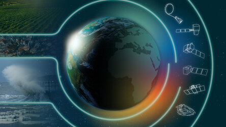
Copernicus Sentinel Expansion missions
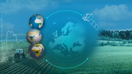
The current suite of Sentinel missions are at the heart of Copernicus.
Data from the Copernicus Sentinels, which are developed by ESA, feed into the Copernicus Services, which help address challenges such as urbanisation, food security, rising sea levels, diminishing polar ice, natural disasters and, of course, climate change.
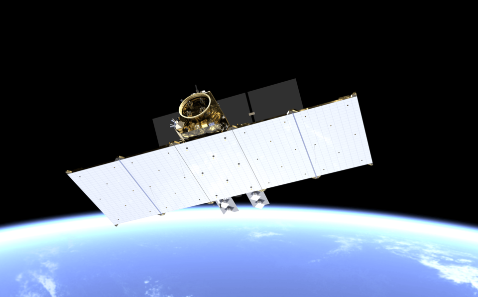
Looking to the future, six Sentinel Expansion missions are being developed to address EU policy and gaps in Copernicus user needs, and to expand the current capabilities of the Copernicus Space Component.
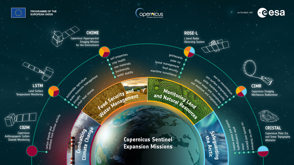
CHIME: Copernicus Hyperspectral Imaging Mission for the Environment
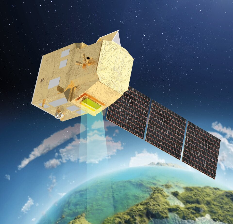
Carrying a unique spectrometer, the Copernicus Hyperspectral Imaging Mission for the Environment, CHIME, delivers systematic high-resolution hyperspectral images to improve agricultural practices and natural resources management. This new Copernicus mission is used to monitor the biophysical and biochemical properties of crops, and the texture and organic content of topsoil. CHIME can also be used for forest management, and to monitor inland water bodies and coastal ecosystems. In addition, CHIME can detect the presence and quantity of various minerals on Earth’s surface.
Read: CHIME Mission Requirements Document
Explore: CHIME brochure
Watch: How will space transform the global food system?
CIMR: Copernicus Imaging Microwave Radiometer
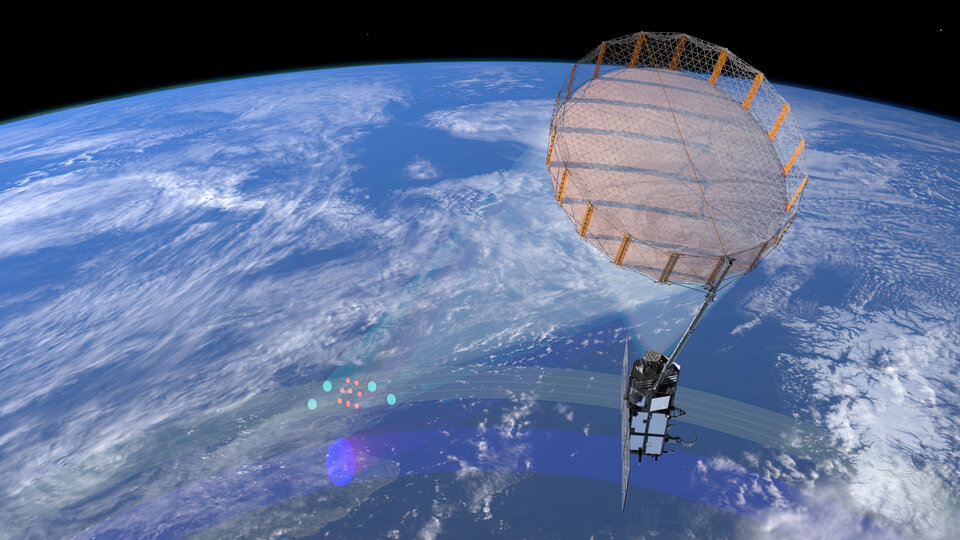
The Copernicus Imaging Microwave Radiometer, CIMR, mission carries a wide-swath conically-scanning multi-frequency microwave radiometer to provide observations of sea-surface temperature, sea-ice concentration and sea-surface salinity. Uniquely, it also observes a wide range of other sea-ice parameters. CIMR puts the Arctic into a global context to support solutions for this fragile polar region and to combat the effects of climate change worldwide.
Read: CIMR Mission Requirements Document
Watch: What does a warming Arctic mean for the future?
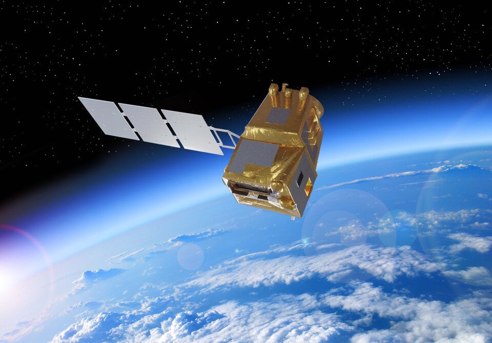
CO2M: Copernicus Anthropogenic Carbon Dioxide Monitoring
The Copernicus Carbon Dioxide Monitoring, CO2M, mission’s main instrument is a spectrometer to measure atmospheric carbon dioxide and methane, focusing on emissions from human activity. These measurements will enhance transparency and help estimate emissions at local, national and regional scales. The mission will provide the EU with a unique and independent source of information to assess the effectiveness of policy measures towards decarbonising Europe and meeting the emission reduction targets laid out in the Paris Agreement.
Read: CO2M Mission Requirements Document
Watch: Tracking human emissions from space
CRISTAL: Copernicus Polar Ice and Snow Topography Altimeter
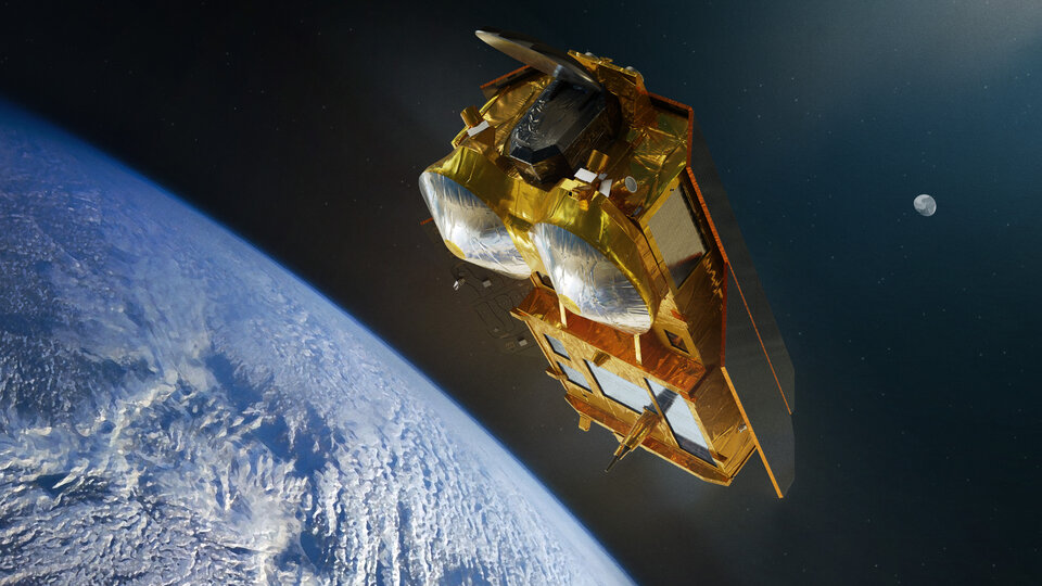
Carrying a dual-frequency radar altimeter and a microwave radiometer, the Copernicus Polar Ice and Snow Topography Altimeter, CRISTAL, mission, monitors sea-ice thickness and the depth of the overlying snow. It also measures changes in the height of ice sheets and glaciers around the world. Since ice in its various forms is particularly sensitive to climate change, data from this mission are crucial for understanding and quantifying climate processes. The mission also supports maritime operations and safety in the changing polar seas, oceanography and sea-level studies, and the monitoring of rivers and lakes worldwide.
Read: CRISTAL Mission Requirements Document
Watch: New mission to track changes in the cryosphere
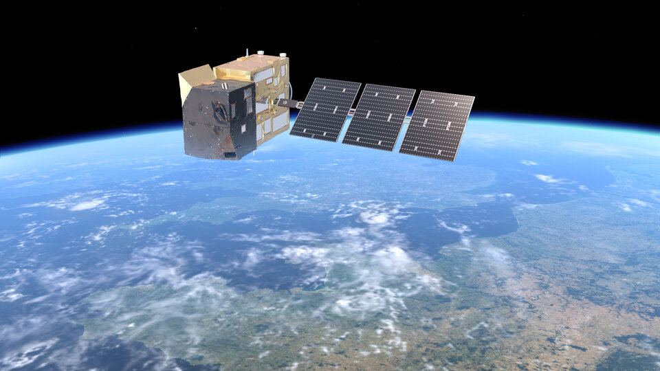
LSTM: Copernicus Land Surface Temperature Monitoring
The Copernicus Land Surface Temperature Monitoring, LSTM, mission carries a high-resolution thermal-infrared sensor to provide observations of land-surface temperature and emissivity. The mission responds to the need to improve sustainable agricultural productivity. The mission’s land-surface temperature measurements and information on evapotranspiration are key to understanding and adapting to climate variability. Data from the mission will be used to manage water resources for agricultural production, predict droughts, manage coastal and inland water bodies and to address issues such as urban heat islands and heatwaves.
Read: LSTM Mission Requirements Document
Watch: Taking Earth’s temperature from space
ROSE-L: Copernicus Radar Observing System for Europe at L-band
The Copernicus Radar Observing System for Europe at L-band, ROSE-L, delivers new complementary information to fill critical observation and information gaps in the current Copernicus satellite capabilities. ROSE-L greatly improves the monitoring of European geohazards and surface motion. It also supports enhanced mapping for forest management, provides key information for agriculture and food security, and improves maritime surveillance. In addition, ROSE-L contributes to the monitoring of the Arctic by providing new information on sea ice, icebergs, glaciers and ice caps.
Read: ROSE-L Mission Requirements Document
Watch: New radar mission for Europe
Back to Copernicus homepage |