United space in Europe
New Zealand
Applications

New Zealand

26/03/2010 1721 views 6 likes 235034 ID
  • HI-RES JPEG [1.35 MB]
  • HI-RES TIFF [13.01 MB]

Thank you for liking

You have already liked this page, you can only like it once!

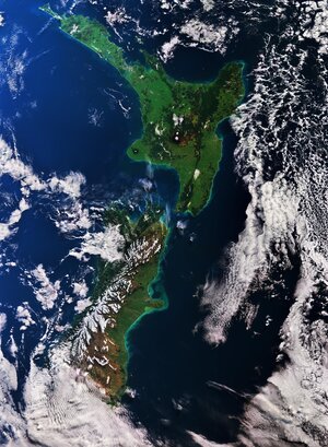
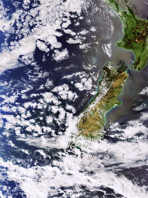
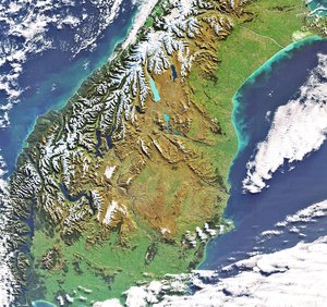
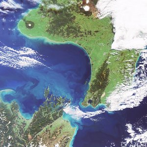
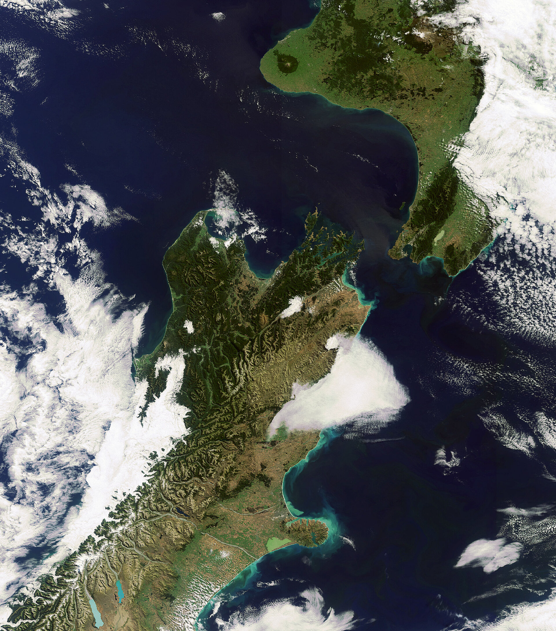
This Envisat image captures New Zealand's North and South Islands, separated by the Cook Strait. Named after James Cook, who in 1770 was the first European to sail through it, the Cook Strait connects the Tasman Sea to the west with the South Pacific Ocean to the east. This image was acquired on 8 March 2010 by Envisat's Medium Resolution Imaging Spectrometer (MERIS).

  • ESA, CC BY-SA 3.0 IGO
  • Observing the Earth
  • Envisat
  • Oceans and coastal zones
  • Earth observation image of the week
New Zealand islands captured by Envisat
Applications

New Zealand islands captured by Envisat

Image 1157 views 6 likes
Egmont National Park, New Zealand
Applications

Egmont National Park, New Zealand

Image 21526 views 98 likes
New Zealand
Applications

New Zealand

Image 3319 views 53 likes
New Zealand’s South Island
Applications

New Zealand’s South Island

Image 2960 views 22 likes
New Zealand as seen by Envisat
Applications

New Zealand as seen by Envisat

Image 963 views 4 likes