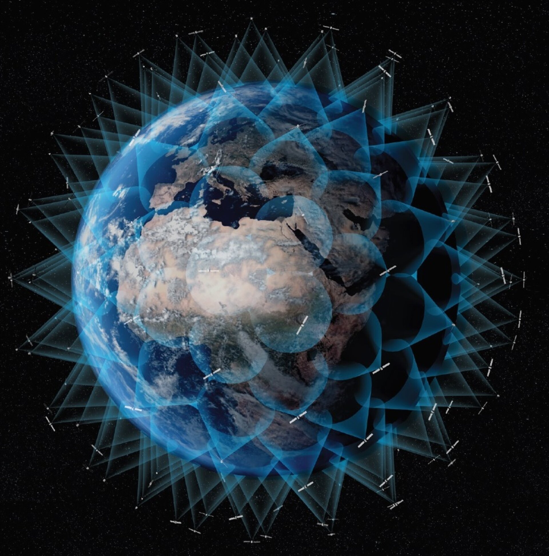
ESA plans for low-orbiting navigation satellites
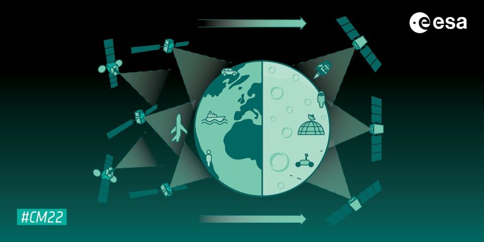
Satellite navigation is headed closer to users. ESA’s Navigation Directorate is planning an in-orbit demonstration with new navigation satellites that will orbit just a few hundred kilometres up in space, supplementing Europe’s 23 222-km-distant Galileo satellites. Operating added-value signals, these novel so-called ‘LEO-PNT’ satellites will investigate a new multi-layer satnav system-of-systems approach to deliver seamless Positioning, Navigation and Timing services that are much more accurate, robust and available everywhere.
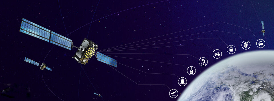
Global in coverage, free for everyone to use, Global Navigation Satellite Systems (GNSS) such as Europe's Galileo have already transformed our society, and due to their sheer omnipresence their influence continues to grow. In 2021, the population of satnav receivers reached 6.5 billion receivers around the world and the sector is projected to maintain a 10% annual growth rate in the years ahead. But in various respects the standard GNSS approach is nearing the limits of optimum performance – to get even better, added ingredients are becoming essential.
“Satellite navigation has enabled a vast range of applications in recent years, but this very success is inspiring still more demanding user needs for the coming decade,” notes Lionel Ries, head of ESA's GNSS Evolutions R&D team, overseeing the Agency's LEO-PNT studies.
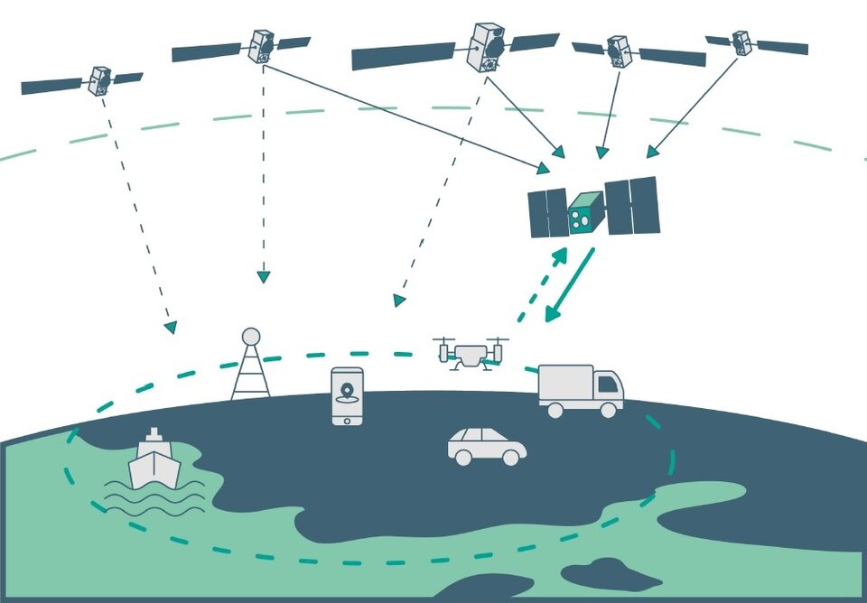
“For use cases such as autonomous vehicles, ships or drones, robotics, Smart Cities or the industrial Internet of Things for control of factory systems, the positioning requirements are growing from the current metre-scale to centimetre scale or even more precise, based on continuously reliable signals that are available anywhere, anytime – even indoors –while able to overcome interference or jamming.
“Up until now the classical solution of GNSS such as Galileo, located in medium Earth orbit and based on L-band signals, has been what we rely on for our positioning. Standard GNSS alone is not going to be able to fulfil all these future user demands. Instead Europe needs to seize the opportunity to investigate the potential of the kind of low Earth orbit (LEO) constellations that are already on the way in the global market to enable new kinds of Positioning, Navigation and Timing (PNT) services.”

Simply by virtue of physics, with less of a distance to cover down to Earth, the signals from these LEO-PNT satellites can be more powerful, able to overcome interference and reach places where today’s satnav signals cannot reach.
And by adopting novel navigation techniques and a wider range of signal bands the satellites can address particular user needs: for instance at lower orbits the satellites themselves move more rapidly relative to Earth’s surface – think of the International Space Station at 400 km that orbits the Earth every 90 minutes – which offers possible advantage in the time needed to reach very accurate positions. Also some bands could offer greater penetration in difficult environments while other bands could offer higher robustness and precision.
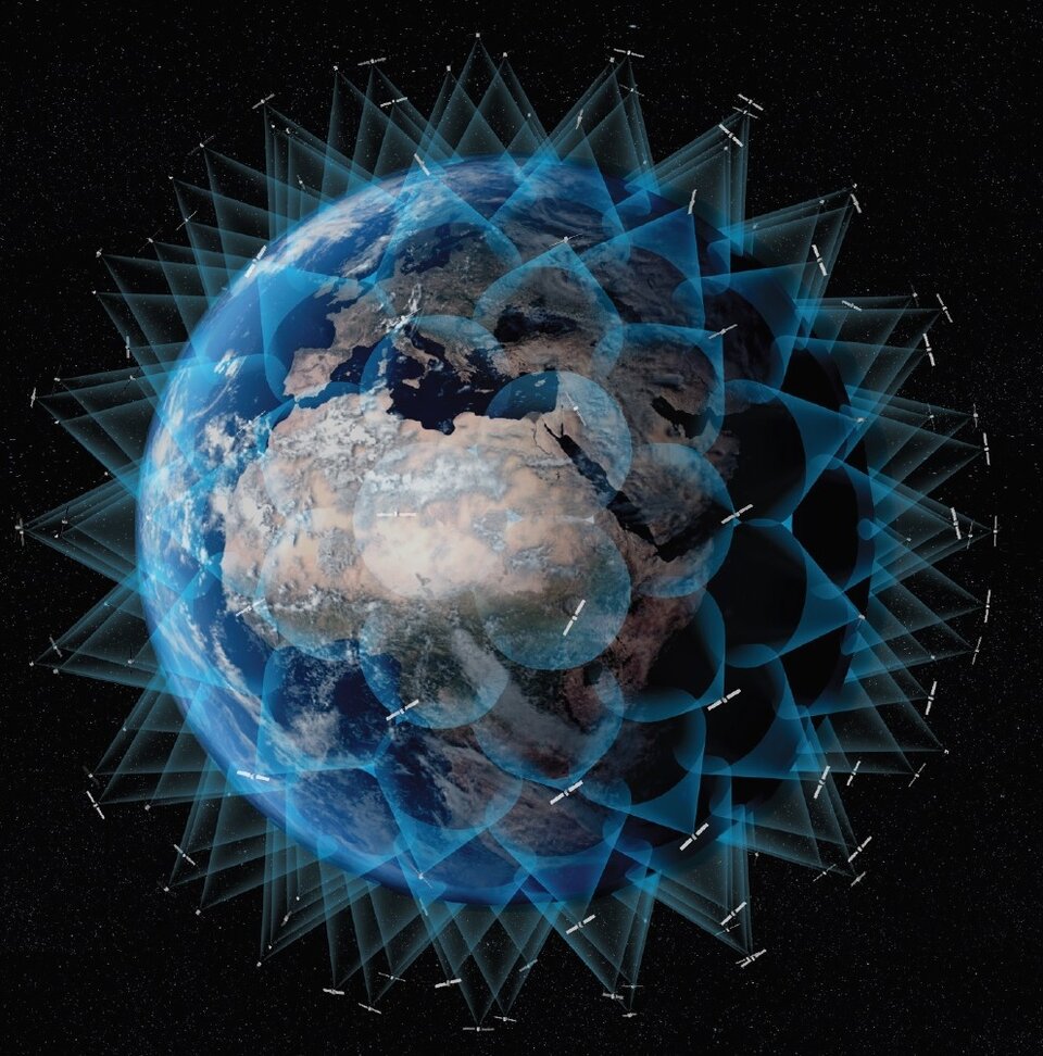
The purpose of ESA’s plan to perform an in-orbit demonstration of low Earth orbiting satnav satellites is precisely to consolidate the types of signals, enabling technologies and their potential for future services.
The plan is to build and fly an initial mini-constellation of at least half a dozen satellites to test capabilities and key technologies, as well as demonstrating signals and frequency bands for use by a follow-on operational constellation, in the same way that Europe’s GIOVE test satellites paved the way for Galileo. Success will place European industry in pole positions for follow-on commercial undertakings, as well as planned institutional programmes.
“Each individual satellite would be comparatively small, below 70 kg in mass, compared to a 700 kg current Galileo operational satellite,” adds Roberto Prieto-Cerdeira, Galileo Second Generation satellite payload manager, and LEO-PNT project preparation manager as part of ESA’s FutureNAV programme.
“They can be comparatively more streamlined because they can benefit from other means to calculate the accurate time without extremely precise atomic clocks on-board – including relayed signals from the Galileo satellites above them. These satellites would also be built on a rapid batch production basis to save time and cost – we are targeting three years at the most from signing the contracts to the first satellites in orbit, the same kind of timescale achieved by GIOVE-A in the early 2000s.”
“It is ESA’s ambition to ensure Europe maintains a world-class space industry, and navigation today forms the single largest downstream space sector, worth about €150 billion annually and growing at the rate of 10% per year,” comments ESA Director of Navigation Javier Benedicto-Ruiz. “Standing still is not an option; instead we need to explore new technical avenues to spur European competitiveness and commercialisation.”
An operational version of the LEO-PNT constellation would represent a whole new layer for PNT delivery, combined with traditional GNSS as well as 5G/6G-based positioning on the ground, and fused with data from sensors in the user terminals.
Interest from industry
ESA has been researching core elements of the LEO-PNT concept since 2016. Now, numerous low Earth orbit constellations already taking shape around the globe, the time is right to move from basic research to in-orbit demonstration.
Interest from European industry in the LEO-PNT project has been very high, shown by a recent Request for Information where ESA presented details of how companies and institutions might participate and a large number of companies registered and presented possible concepts and contributions.
Forward to FutureNAV
LEO-PNT is supported through the ESA Directorate of Navigation’s FutureNAV programme, which also includes the GENESIS satellite to measure the shape of Earth more accurately than ever before while also boosting the positioning performance of satnav satellites. The FutureNAV programme, which includes both GENESIS and the ‘LEO-PNT’ initiative, is up for decision at ESA’s next Ministerial Conference in November.


