It’s a kind of MAGIC
With well over 4000 scientists, academics, space industry personnel, institutional stakeholders, data users, students and citizens all gathered at the Living Planet Symposium, this world-renowned Earth observation event is already proving to be a bit like magic, especially after the gruelling two-year COVID pandemic. However, there’s also another kind of magic in the air creating a buzz – no, not the band Queen singing their hit single, but a potential new satellite mission called MAGIC that would shed new light on where Earth’s water is stored and how it moves from place to place.
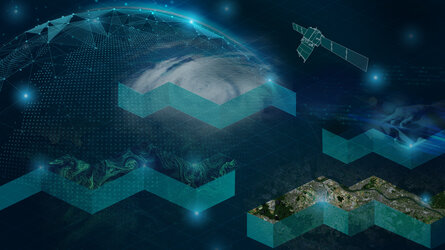
Among the many in-depth presentations and lively discussions taking place at the symposium, there is much enthusiasm for MAGIC, which by measuring Earth’s gravity in detail would yield new information on the amount of water in oceans, ice sheets, glaciers, near-surface and – uniquely among all space sensing technology – also underground. Most importantly, it would measure how this water shifts over time, something scientists call ‘mass transport’.
This would lead to improved water management, particularly in regions where water is a scarce resource, and a better understanding of sea-level change, both of which would bring many benefits to society in a changing world.
As well as giving us more insight into Earth’s water and ice, MAGIC would also observe changes in Earth’s interior, related to tectonic motion and earthquakes.
The MAGIC satellite mission concept is being investigated under ESA’s Earth Observation core research and development programme, FutureEO, with the goal of the mission being in orbit around the turn of the decade. But ESA is not working alone, cooperation with other space agencies is key to achieving great things.

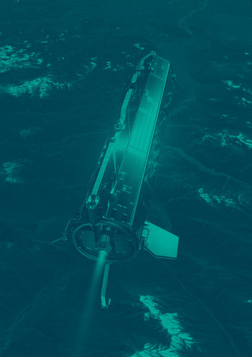
ESA’s Pierluigi Silvestrin explained, “Indeed, as part of our FutureEO programme, we have actually already been working closely with NASA for over a decade to develop this joint mission, which would be a constellation of satellites, to measure gravity variations and monitor mass transport.
The need for these measurements is very clear, as emphasised by user communities worldwide as well as by operational services, for instance within the Copernicus programme. By working together we trust that this new mission will be realised – indeed, no agency could do it alone.
“The technology is also there, based on past and ongoing gravity missions and on new developments of instruments with unprecedented performance here in Europe.
“MAGIC is one of the priorities in our FutureEO proposal for ESA’s Ministerial Council in November and important for taking this exciting mission forward.”
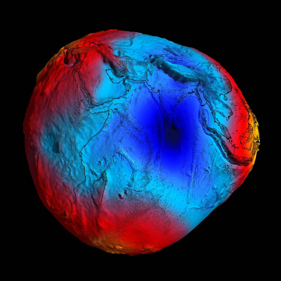
MAGIC builds on the solid heritage of measuring gravity from space laid down by ESA’s GOCE mission, which yielded a unique model of the geoid, meaning the surface of equal gravitational potential defined by the idealised surface of the global oceans at rest, and by the US–German GRACE tandem satellite mission and GRACE Follow-On mission, which measured gravity variations over time to reveal large-scale mass transport processes inside the Earth.
ESA’s Ilias Daras said, “MAGIC would take measuring gravity from space to the next level especially for its ability to zoom in on those processes, providing a better understanding of our Earth system and opening the door to novel operational applications, such as early warnings of hydrological extreme events, namely droughts and floods.”
The reason for using gravity measurements to map water and ice storage and their change and movement might seem odd, but tiny temporal variations in the strength of our gravity field are actually caused by fluctuations in water reservoirs and changes in ice mass. Larger differences in the gravity field over different geographical locations are due to factors such as the rotation of Earth, the position and structure of mountains and ocean trenches and variations in the density of Earth's interior.
But it’s the link between water and ice mass transport that we are most interested in here.
Mapping Earth’s gravity very precisely over time, therefore, reveals where water and ice storages are changing. This is important for understanding the impact that the climate crisis is having and for mitigation strategies, especially for countries at risk of water shortages or at risk of rising sea levels, for example.
Roland Pail, from the Technical University Munich, said, “There is huge support from the scientific community for the MAGIC mission. Climate change and environmental stress clearly need addressing as a matter of upmost urgency and MAGIC would bring significant benefits to society at large.
“Scientists and engineers in Europe and the US have been working on various MAGIC mission concepts and carefully evaluating their merits to achieve what would be the best gravity measuring system in space. The symposium has allowed those working on this special mission to come together to discuss all their hard work, and importantly relay this to the many symposium attendees.”

Access the video
While MAGIC is all the buzz at the symposium, scientists are also looking further ahead. The aim is to develop even more performant gravity-measuring satellites to provide enhanced continuity to the MAGIC mission in 15 years or so, thanks to novel quantum technology that, though still at the research stage, holds great potential. But more of that to come in an ESA web news article later in the week. Watch this space!