
Zooming in on our planet
Thanks to the satellite era we are better placed to understand and monitor our changing world. As the use of information from Earth-observing satellites continues to be more commonplace, so does the demand for increasingly detailed imagery. High-resolution images of Earth are now an essential commodity at the core of a wide range of scientific, commercial and governmental applications.
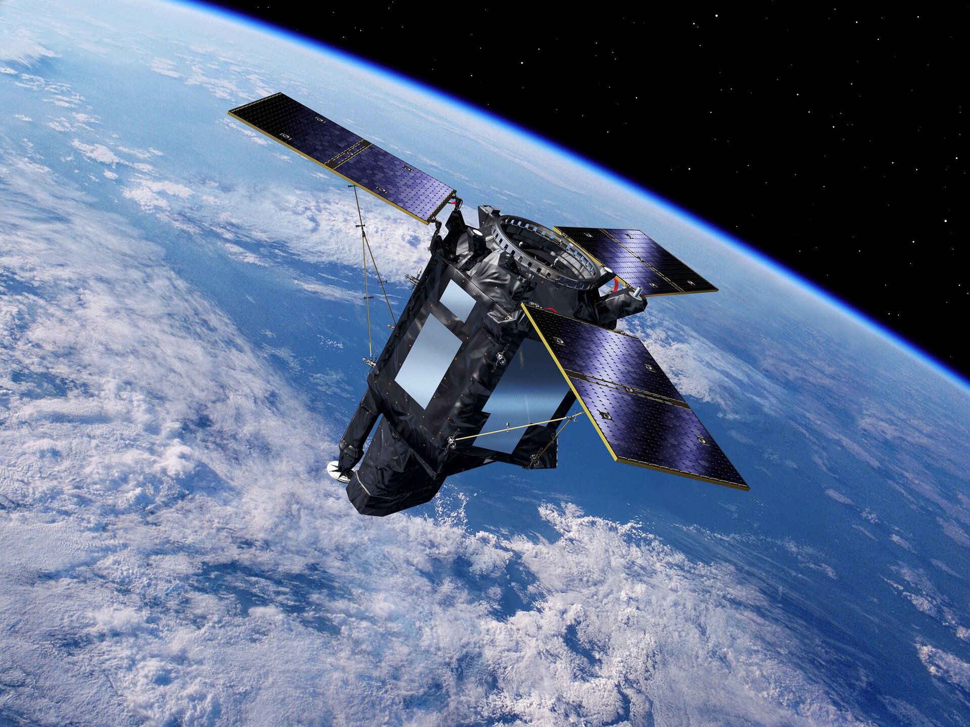
The new Spanish high-resolution land imaging mission, known as SEOSAT-Ingenio, was designed to provide high-resolution images of Earth’s land cover. By imaging Earth’s land in remarkable detail, the satellite would have benefitted society through various disciplines including cartography, monitoring land use, urban development and water management.
With its capability to look sideways, it could have accessed any point on Earth within three days, and would have been used to help map natural disasters such as floods, wildfires and earthquakes – as well as help with one of humankind’s biggest challenges: climate change.
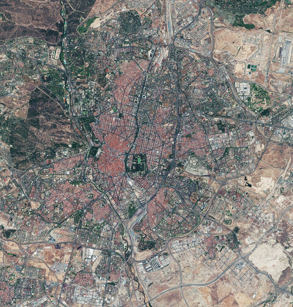
SEOSAT-Ingenio was based on a state-of-the-art dual camera that could image Earth’s land surface with a resolution of 2.5 m. It was designed to capture images in the panchromatic band, meaning black and white, as well as in four multi-spectral bands: red, blue, green and near-infrared, at a resolution of 10 m. These could be combined to produce a true-colour image or to produce an image to highlight specific features such as vegetation growth.
While SEOSAT–Ingenio is a Spanish national mission, it is the result of an international collaborative effort. The mission was funded by Spain’s Centre for the Development of Industrial Technology (CDTI) of the Ministry of Science and Innovation, but developed by ESA in the context of the European Earth Observation Architecture. Other partners included Airbus Defence and Space, being the prime industrial contractor of the satellite, and SENER & INDRA, responsible for the payload and ground segment.
Information from SEOSAT–Ingenio would have been used by different Spanish civil, institutional and government users, but also potentially by other European users in the framework of the European Union’s Copernicus programme and the Group on Earth Observations’ Global Earth Observation System of Systems.
