Applications
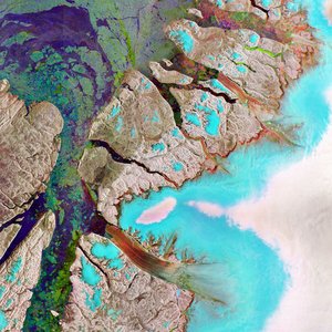
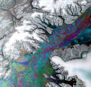
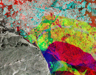
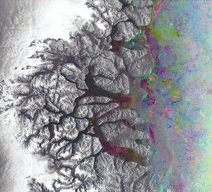
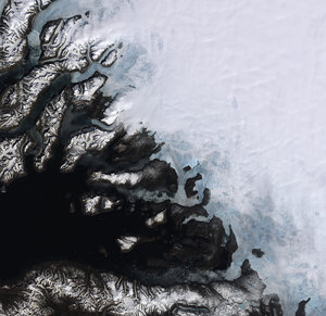
Canadian Arctic and Greenland as seen by Envisat
Radar image showing the tip of Ellesmere Island (left) in the Canadian Arctic and northwestern Greenland (right). The light area to the right is the ice-covered surface of the Greenland Ice Sheet, while the darker stream extending across the lower centre of the image is the northern hemisphere’s longest floating glacier, Petermann. The image was made from Envisat's Advanced Synthetic Aperture Radar (ASAR) data acquired in 2008.