• → European Space Agency

      • Space for Europe
      • Space News
      • Space in Images
      • Space in Videos
    • About Us

      • Welcome to ESA
      • DG’s blog
      • For Member State Delegations
      • Business with ESA
      • Law at ESA
      • ESA Exhibitions
      • ESA Publications
      • Careers at ESA
      • ESAshop
    • Our Activities

      • Space News
      • Observing the Earth
      • Human and Robotic Exploration
      • Space Transportation
      • Navigation
      • Space Science
      • Space Engineering & Technology
      • Operations
      • Telecommunications & Integrated Applications
      • Preparing for the Future
    • Careers at ESA

    • For Media

      • Media
      • ESA TV
      • Videos for professionals
      • Photos
    • For Educators

    • For Kids

    • ESA

    • Space Science

    • Our Universe
    • About Space Science
    • ESA's 'Cosmic Vision'
    • Science missions
    • Mission navigator
    • Target groups
    • For Media
    • For Scientists
    • For Kids
    • Multimedia
    • Science images
    • Science videos
    • Science poster
    • Animations
    • Downloads
    • Sounds from space
    • Resources
    • Reference section
    • Services
    • FAQs
    • Glossary
    • Comments
    • Follow us
    • ESA Sci on Twitter
    • ESA Space Science Images on Flickr
    • ESA 3D on Flickr
    • Terms and conditions

    ESA > Our Activities > Space Science

    Mapping Mars

    Mapping Mars

    4 February 2013

    Nearly 90% of Mars’ surface has been mapped by the high-resolution stereo camera on ESA’s Mars Express, which celebrates ten years since launch this June. 

    The mosaic comprises 2702 individual swaths of the martian surface, up to and including the spacecraft’s 10 821st orbit of the planet, which it completed on 30 June 2012.

    At this time, 87.8% of the surface had been mapped at any resolution, with 61.5% mapped at a resolution of 20 m per pixel or better. The map is equatorially aligned, meaning that regions at the poles appear distorted. 

    The map provides a record of all locations observed by the camera simultaneously in red, green, blue and nadir channels.

    Images that were particularly affected by dust or atmospheric effects have not been included in the mosaic. These effects are more prevalent in the region shown in the top right of the map, as reflected by the greater number of ‘missing’ pieces there.

    The subtle variation in colour tones are due partly to changes in dust content in the atmosphere, but mostly due to the change in solar elevation as the spacecraft moves around the planet, experiencing different illumination conditions.

    Upon closer inspection, many well-known geological features are revealed. Towards the top left stands Olympus Mons, the tallest volcano in the Solar System at over 21 km high. A chain of three volcanoes making up the Tharsis Montes lies just below and to the right.

    Moving further right again uncovers the Solar System’s largest canyon, Valles Marineris. This giant cavern plunges 10 km deep and runs over 4000 km.

    Assuming that good atmospheric conditions coincide with the appropriate orbits, Mars Express scientists hope that they might fill in the remaining gaps in the map in the coming years.

    Rate this

    Views

    Share

    • Currently 4.5 out of 5 Stars.
    • 1
    • 2
    • 3
    • 4
    • 5
    Rating: 4.7/5 (53 votes cast)

    Thank you for rating!

    You have already rated this page, you can only rate it once!

    Your rating has been changed, thanks for rating!

    17973
    Tweet

    Related articles

    Reull Vallis: a river ran through it17 January 2013

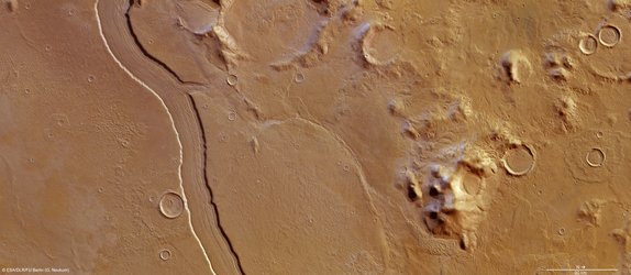
    Reull Vallis: a river ran through it17 January 2013 ESA’s Mars Express imaged the striking upper part of the Reull Vallis region of Mars with its high-resolution stereo camera last year.

    Charitum Montes: a cratered winter wonderland06 December 2012

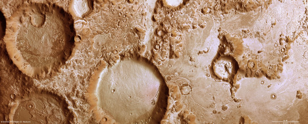
    Charitum Montes: a cratered winter wonderland06 December 2012 The high-resolution stereo camera on ESA’s Mars Express imaged the Charitum Montes region of the Red Planet on 18 June, near to Gale crater and the Argyre basin featured in our October and November image releases.

    Argyre Planitia and Hooke Crater

    Ice-coated beauty in Mars’ Silver Island04 October 2012

    Argyre Planitia and Hooke Crater

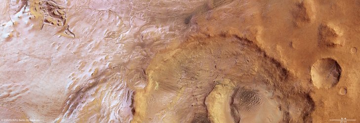
    Ice-coated beauty in Mars’ Silver Island04 October 2012 On 8 June, the high-resolution stereo camera on Mars Express captured a region within the 1800 km-wide and 5 km-deep Argyre basin, which was created by a gigantic impact in the planet’s early history.

    Valles Marineris

    The Solar System’s grandest canyon22 October 2012

    Valles Marineris

    The Solar System’s grandest canyon22 October 2012

    Hadley Crater provides deep insight into martian geology06 September 2012

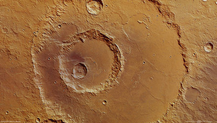
    Hadley Crater provides deep insight into martian geology06 September 2012 Recently engaged in providing support to the successful landing of NASA’s Mars Science Laboratory's Curiosity rover, ESA’s Mars Express has now returned to its primary mission of studying the diverse geology and atmosphere of the 'Red Planet' from orb...

    Gale crater

    Welcome to Mars, Curiosity!06 August 2012

    Gale crater

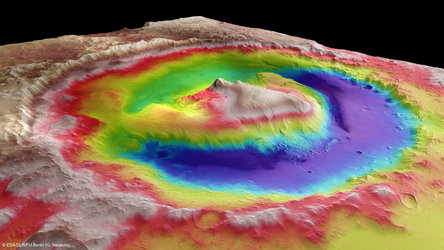
    Welcome to Mars, Curiosity!06 August 2012 NASA’s Mars rover Curiosity touched down on the Red Planet at Gale Crater this morning, shown here in this colour-coded map provided by ESA’s Mars Express.

    • ESA Space Science Portal
    • Space Live
      Space Live
      Space science image gallery
    • Looking at Mars
    • Mars Express blog
    • Mars Webcam
    • More about...
      • Mars Express overview
      • Mars Express 10 year brochure
      • Related links
      • HRSC at DLR
        • Behind the lens...
          • Frequently asked questions
          • ESA Planetary Science archive (PSA)
          • NASA Planetary Data System
          • HRSC data viewer
    • App Store
    • Subscribe
    • mobile version
    • ESA Science Twitter

    @ESAscience

    • FAQ

    • Site Map

    • Contacts

    • Terms and conditions