Oceans and ice
The Copernicus marine services deliver vital information about the state and dynamics of oceans and coastal zones. These services not only help protect and manage the marine environment and its resources, but also aim to keep vessels safe at sea.
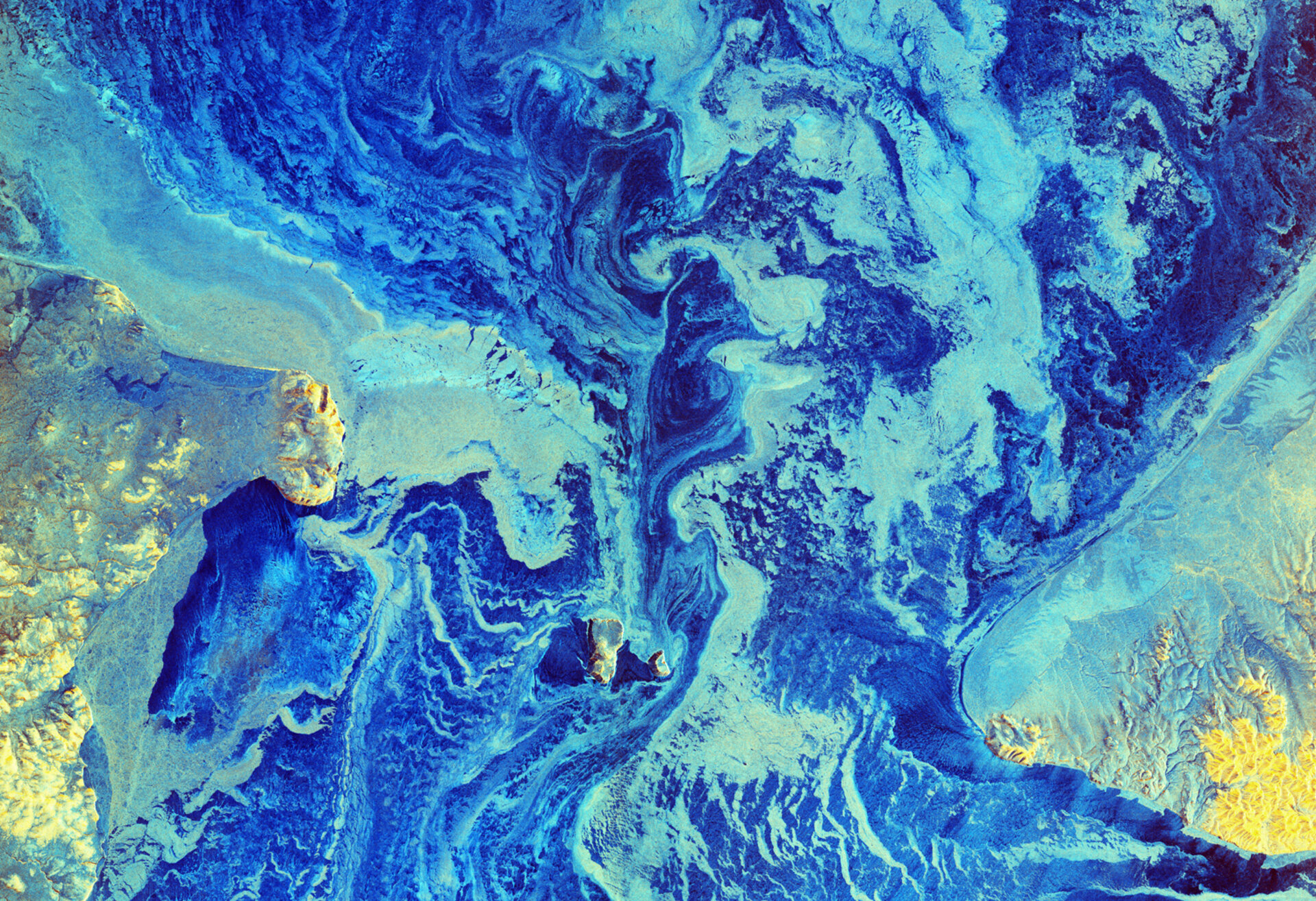
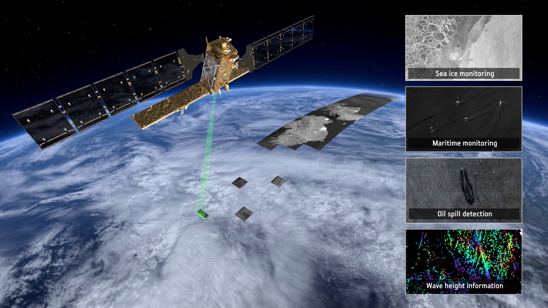
Sentinel-1 provides radar images to generate timely maps of sea-ice conditions for safe passage in our increasingly busy Arctic waters.

Access the video
The radar can distinguish between the thinner, more navigable first-year ice and the hazardous, much thicker multiyear ice to help assure safe year-round navigation in ice-covered Arctic and sub-Arctic zones. These radar images are particularly suited to generating high-resolution ice charts, monitoring icebergs and forecasting ice conditions.
Sentinel-1 also provides continuous sampling of the open ocean, offering information on wind and waves. This is useful for understanding interactions between waves and currents and to improve efficiency for shipping and wave-energy applications, potentially producing economic benefits. In addition, these observations can be used to track the paths of oil slicks and other polluters.

Access the video
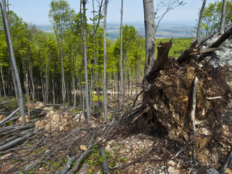
While the mission offers timely information for a multitude of operational applications, it continues more than 20 years of radar imagery. This archive is not only essential for practical applications that need long time series of data, but also for understanding the long-term impacts of climate change, such as those on Arctic sea-ice cover, continental ice sheets and glaciers.
Back to Sentinel-1 homepage |