Space Weather Sensors
Providing timely and accurate space weather information, nowcasts and forecasts is possible only if sufficient observation data are continuously available.
As Earth is well protected against space weather by its magnetic field and the atmosphere, only a limited amount of space weather observations is possible from the surface. For example, our magnetic field deflects most of the solar wind charged particles away from our planet and the atmosphere filters out extreme ultraviolet and X-ray wavelengths from sunlight.
The working approach for ESA's Space Weather Service Network is to collect as much of the required measurement data using ground-based instruments as possible, because ground-based instruments are typically less expensive and easier to maintain and upgrade than spaceborne instruments on board satellites.
However, to gain all the necessary, accurate, real-time data needed for future space-weather warning services, data from instruments in space are also essential.
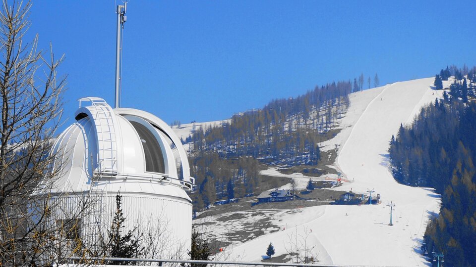
Watching from Earth
Examples of European and international observatories and instrument networks that could be utilised in ESA's Space Weather Network are shown, as examples, in the table below. More may be added in future.
| Type of data | Source of data |
| Solar images in various wavelengths | Use/reuse existing European solar telescopes such as the Kanzelhöhe Observatory for Solar and Environmental Research, Austria. Expand to global coverage through agreements with, for example, the Global High Resolution H-alpha Network |
| Solar magnetogram images | Use/reuse existing European solar telescopes such as the Instituto de Astrofísica de Canarias (IAC) contribution to the GONG network. Expand to global coverage through agreements with existing assets, e.g. GONG. |
| Solar indices (F10.7) | Solar radiometer − data via Canada's Dominion Radio Astrophysical Observatory (DRAO) |
| Solar radio bursts | Solar radio spectrograph network. Reuse existing assets such as the International Network of Solar Radio Spectrometers (eCALLISTO) |
| Cosmic ray neutron flux (at Earth's surface) | Existing neutron monitor network. Reuse existing assets such as the Neutron Monitor Database hosted by the Extraterrestrial Physics group at the Institute for Experimental and Applied Physics, Christian-Albrechts-Universität, Kiel, Germany |
| Vector magnetic field (Magnetograms at Earth's surface) | Vector magnetometers, such as the International Real-time Magnetic Observatory Network (INTERMAGNET) |
| Total electron content (TEC) maps | GNSS receiver networks. Reuse of existing station networks such EUREF from the International Association of Geodesy (IGS) |
| Auroral visible imaging | Obtain from all-sky imagers. Reuse of imaging systems such as the Finnish Meteorological Institute (FMI) realtime auroral cameras |
| Ionosphere | Sourced from ionospheric sounders such as the European Digital Upper Atmosphere Server (DIAS) network. Obtain complete global coverage through international cooperation agreements. |
| Ionospheric scintillation | Dedicated GNSS receivers for scintillation monitoring. Detectors capable of sampling at the frequency required for scintillation measurement are less widely available and further deployment at high and low latitudes should be considered. |
| Ionospheric electric field | Inchoherent/coherent radar network such as the Super Dual Auroral Radar Network (SuperDARN) and from the European Incoherent SCATter Scientific Association (EISCAT) |
| Ionospheric radio absorption | From riometer networks. Reuse existing assets such as AAR/AIRS in Norway, IRIS in Finland and NORSTAR in Canada |
| Coronal mass ejection (CME) detections through cosmic ray anisotropy | From muon telescope networks. |
Watching from space
Our planet's magnetic field deflects the majority of the charged particles and solar wind emitted by the Sun, while the atmosphere filters out the dangerous wavelengths of the Sun’s electromagnetic radiation − such as Extreme Ultraviolet (EUV), X-rays and gamma rays.
For space weather monitoring and forecasting, however, we need unfiltered observations, and this is why we need spaceborne observation systems to complement ground-based observations.
Flying instruments
ESA's Space Weather Service Network obtains 'in-situ' measurements from space (but inside Earth’s magnetosphere) by using 'hosted payload' instruments − that is, small instruments flown as guests on onboard spacecraft and whose primary mission is not space weather.
For a hosted payload instrument, measurements made from orbit will typically comprise monitoring of particles and fields within the magnetosphere (that is, inside Earth’s magnetic field) and auroral images.
Space weather missions around Earth
In the coming years, ESA will launch a series of dedicated small missions and hosted payloads– the Distributed Space Weather Sensor System (D3S) -to monitor the near-Earth environment for Space Weather conditions that may impact vulnerable infrastructure. The system will answer a critical need for high reliability, long lifetimes and low data latencies as the data will be used continuously in operational services.
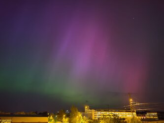
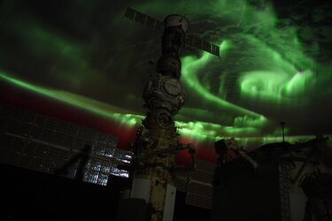
The Aurora Demonstration (Aurora-D) mission will be the first step in the development of a system that will monitor auroras continuously from space. These observations provide essential input for the monitoring and modelling of geomagnetic storm conditions, including post event reconstruction furthering the understanding of space weather events.
Swing (Space Weather Ionosphere Nanosat Generation) will monitor the ionosphere, a layer of the atmosphere which affects communications and navigation services. Swing’s data will help to further understand the effects of space weather, produce accurate nowcasts of the state of the ionosphere and provide actionable information to European operators.
SAWA will target complementary measurements in the Earth’s thermosphere and of the Earth’s magnetic field. Like Swing, the data collected by SAWA will feed into models and services that provide space weather alerts, forecasting tools, and other data products.
The Sword (Space Weather Orbital Radiation Detector) mission will provide data on Earth’s radiation belts at multiple altitudes allowing a nowcast of the overall belt status and thereby enabling essential services for spacecraft operators.
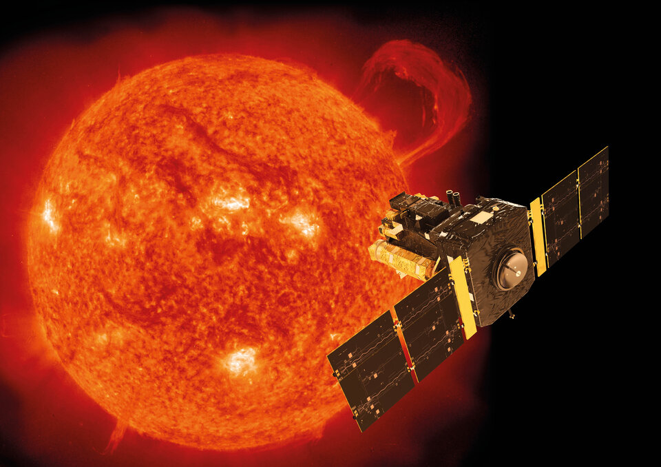
Remote sensing from deep space
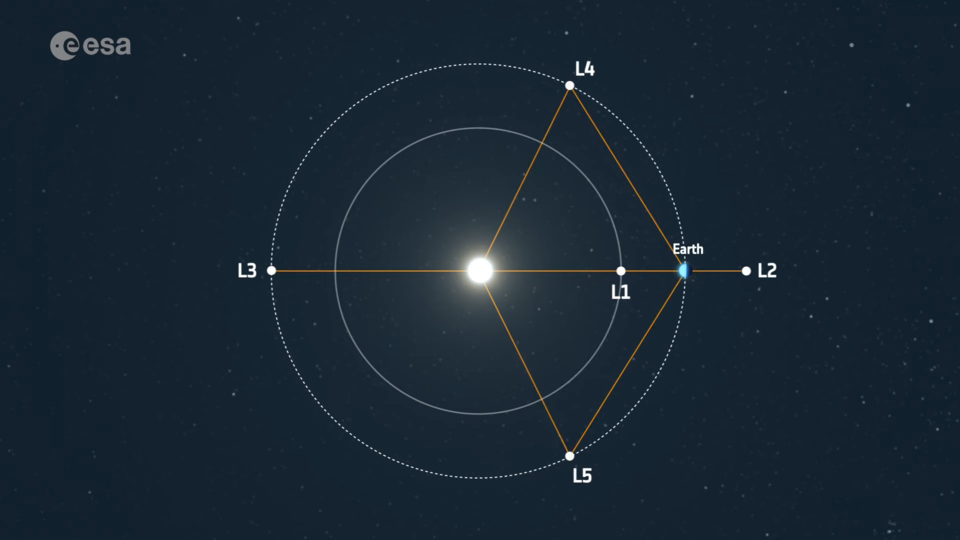
Two of the five Lagrange points of the Sun-Earth system, L1 and L5 are very good locations from which spacecraft can monitor interplanetary space and solar activity. At these points in space, gravitational forces and the orbital motion of the spacecraft, the Sun and Earth interact to create a stable location from which to make observations.
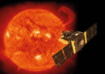
L1 is in the solar wind 'upstream' from Earth, so measurements at L1 provide information about the space weather coming toward Earth. Current in-situ measurements of the solar wind and CMEs are done there and allow us to predict the impact of fast solar storms with about 20 minutes warning time. L1 is home to the ESA/NASA Solar and Heliospheric Observatory.
Located approximately ten times further away than L1, at over 15 million kilometres from Earth, a proposed ESA mission, Shield, would be able to give an alert of such storms around two and a half hours before impact, which would allow vulnerable infrastructure operators to efficiently prepare and minimise geomagnetic storm impacts. Shield would increase European independence in space weather observations and resilience against adverse impacts in all user domains including defence.
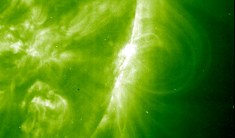
In contrast, the L5 point (located 60 degrees and 150 million km behind Earth, close to its orbit) provides a way to monitor Earth-oriented coronal mass ejections (CMEs) from the 'side' so as to give more precise estimates of the speed and direction of the CME. These measurements can be used to provide space weather warnings, alerts and status information to customers on Earth.
ESA's upcoming Vigil mission will be located at L5. It will complement measurements made from L1 by providing a view of the Sun away from the direct Sun-Earth line. This gives visibility of the propagation of plasma clouds emitted by the Sun toward Earth, as well as views of the solar disk before it rotates into view from Earth. Vigil will ensure ESA's robust capability to monitor, nowcast and forecast potentially dangerous solar events.

Access the video
Data processing
ESA is also planning a number of other space weather satellite missions. Data from ESA space weather missions will be first processed and stored at the Space Weather Data Centre located at ESA Redu, Belgium. The calibrated and verified measurement data will then be disseminated in near-realtime to the teams in the Space Weather Service Network for further processing, validation and utilisation in in customer/end-user applications and services.
For the current space weather status and access to all of ESA's SWE services, access the Space Weather Service Portal.