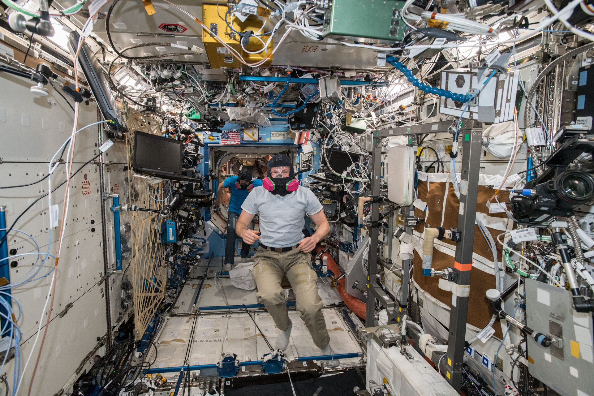
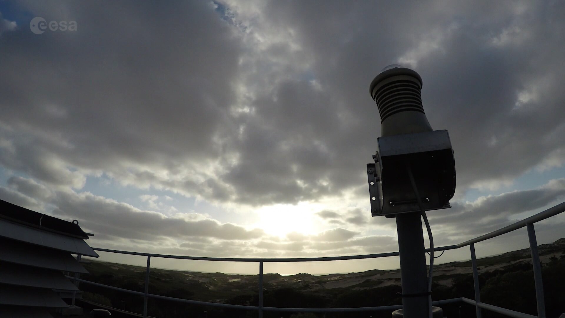
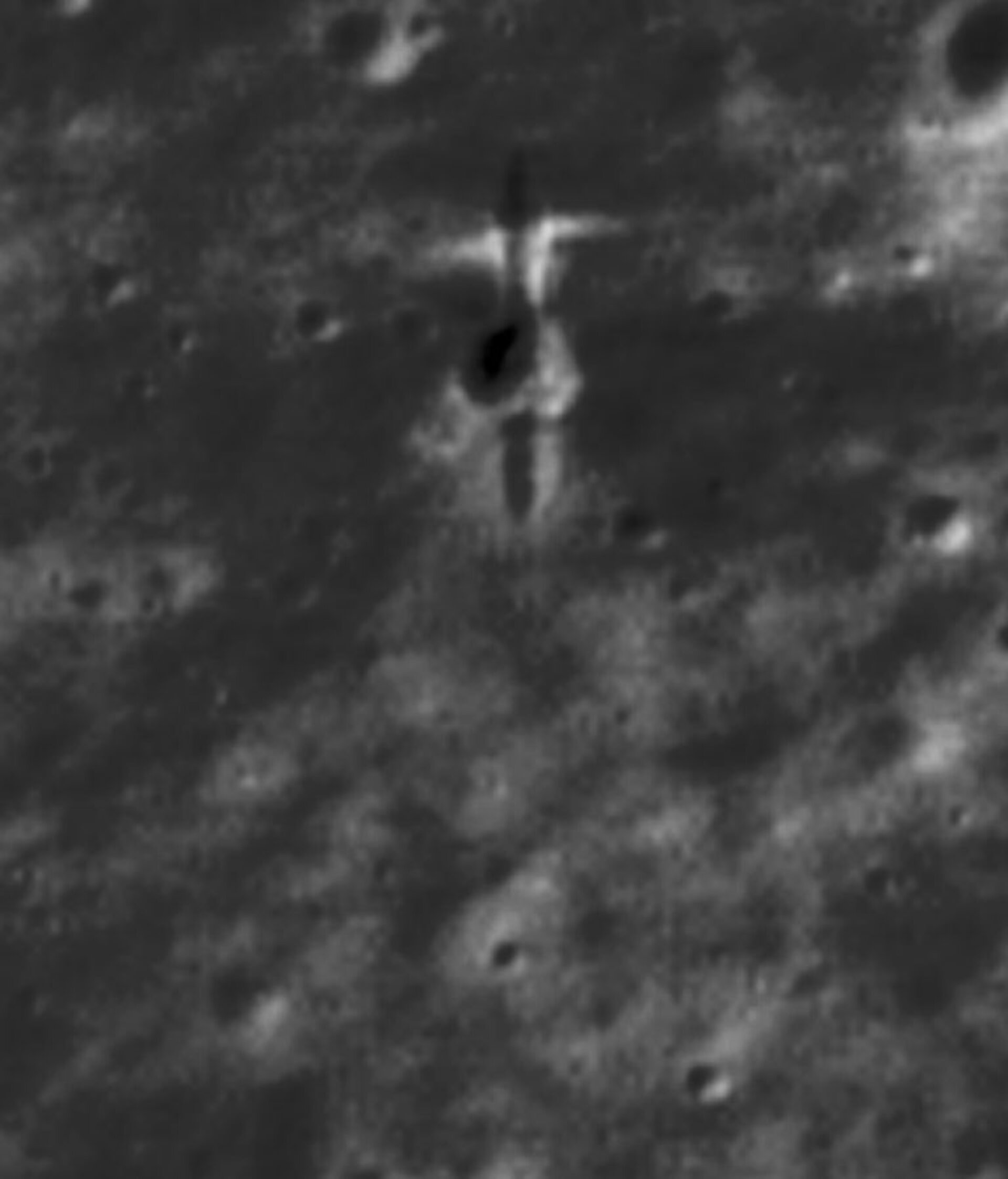
• → European Space Agency

      • Space for Europe
      • Space News
      • Space in Images
      • Space in Videos
    • About Us

      • Welcome to ESA
      • DG’s blog
      • For Member State Delegations
      • Business with ESA
      • Law at ESA
      • ESA Exhibitions
      • ESA Publications
      • Careers at ESA
      • ESAshop
    • Our Activities

      • Space News
      • Observing the Earth
      • Human and Robotic Exploration
      • Space Transportation
      • Navigation
      • Space Science
      • Space Engineering & Technology
      • Operations
      • Telecommunications & Integrated Applications
      • Preparing for the Future
    • Careers at ESA

    • For Media

      • Media
      • ESA TV
      • Videos for professionals
      • Photos
    • For Educators

    • For Kids

    • ESA

    • [1/10] California Dreamin'
    • [2/10] Slow dissolution
    • [3/10] BepiColombo ministack on the move
    • [4/10] Galileo control contract signed
    • [5/10] Alexander during emergency training on the Space Station
    • [6/10] North Sea bloom
    • [7/10] Atmospheric tricks hide Sun’s power
    • [8/10] FRIPON camera atop ESTEC
    • [9/10] SMART-1’s crash site
    • [10/10] Hazy dust in Ursa Major

    California Dreamin'
    California Dreamin'

    ESA astronaut Alexander Gerst captured this image of the city of the Baja California peninsula and the border between the United States and Mexico from the International Space Station and shared it on social media saying: "California dreaming. One of my favourite orbits is down along the West Coast of USA, from Alaska to the Andes. We fly this route once a day."

    Follow Alexander and the Horizons mission on social media on his website and on his blog.

    Credits: ESA/NASA-A.Gerst
    Slow dissolution
    Slow dissolution

    PANGAEA trainees, ESA astronaut Thomas Reiter, ESA Science Officer Aidan Cowley, and Roscosmos cosmonaut Sergei Kud-Sverchkov examine small fractures in the cave walls under the guidance of instructor Francesco Sauro.

    The small fractures collect water condensation, which over millions of years has slowly dissolved the cave we see today.

    Follow PANGAEA's blog and ESA Caves on Twitter to stay up to date.

    Credits: ESA – A. Romeo
    BepiColombo ministack on the move
    BepiColombo ministack on the move

    The BepiColombo 'ministack', comprising JAXA's Mercury Magnetospheric Orbiter (top) and ESA's Mercury Planetary Orbiter (bottom), transferring between facilities at Europe's Spaceport in Kourou. The modules spent the first part of the launch campaign in the 'processing area' before moving to the 'fueling integration area' where the chemical propulsion fueling activities will take place.

    In this view the MPO's radiator side is visible – the radiator 'fins' have now been installed. The radiator is designed to reflect heat directionally, allowing the spacecraft to fly at low altitude over the hot surface of planet Mercury.

    Credits: ESA/CNES/Arianespace/Optique video du CSG – P.Baudon
    Galileo control contract signed
    Galileo control contract signed

    ESA has awarded a new work order for the Galileo Control Segment – that part of the Galileo system responsible for the monitoring and control of all the satellites in orbit – to GMV Aerospace and Defence, Spain. The contract was signed on 6 September 2018 at a ceremony hosted at Spain’s Ministry of Science, Innovation and Universities in Madrid. From left to right: ESA Director of Navigation Paul Verhoef; Secretary General of Transport of Spain's Ministry of Public Works, María José Rallo, representing Spain in the EU Committee on Satellite Navigation Programmes; Spanish Science Minister and former ESA astronaut Pedro Duque; European Commission adviser on navigation activities Augusto González and Jesús Serrano Martínez, CEO of GMV.  

    Credits: ESA
    Alexander during emergency training on the Space Station
    Alexander during emergency training on the Space Station

    There are many possible reasons to trigger the alarm on the International Space Station, from fire to toxic leaks and loss of pressure. When an alarm sounds the six astronauts that live above our planet need to react quickly and securely.

    Much like on Earth emergency drills are practiced to make sure that when a real emergency occurs the astronauts are ready to react. In this picture ESA astronaut Alexander Gerst is wearing a mask during an emergency drill held on 28 August 2018. He was a volunteer firefighter in his school years.

    Fire or toxic leaks are a large concern for space stations even more so than on Earth because the astronauts live in a closed system, there is no way to open a window to allow come fresh air in or an external evacuation meeting point. Instead astronauts convene at a safe place on the Space Station where they have access to their Soyuz spacecraft that act as lifeboats and could bring them home if the worst happens. Once together the crew will work with mission control to identify the cause of any emergency and agree on the actions to be taken.  

    Last week mission control noticed a small loss of pressure in the International Space Station but it was so small no emergency was declared. Nevertheless the astronauts convened and searched for the leak using an “ultrasound sniffer” that detects the sound of air moving. The leak was found in the Soyuz orbital module, a section of the spacecraft that doesn’t return to Earth but burns up harmlessly on re-entry. Thanks in part to the frequent training and diligence of the astronauts the leak was quickly found and patched.

    Alexander commented on Twitter about the incident that it “showed again how valuable our emergency training is. We could locate and stop a small leak in our Soyuz, thanks to great cooperation between the crew and control centres on several continents.”

    Pay attention at during all safety briefings, practice makes perfect and repetition makes sure you can rely on knowledge in an emergency situation.

    Credits: NASA/ESA
    North Sea bloom
    North Sea bloom

    The Copernicus Sentinel-3A satellite takes us over the North Sea, revealing a significant algae bloom covering most of the southern part.  One of Europe's most productive fisheries, the North Sea covers an area of 570 000 sq km and is linked to the Atlantic by one of the world’s busiest shipping regions – the English Channel.

    The image covers a large section of Scandinavia, including Norway, the south of Sweden, and Denmark, stretching down to Germany and the Netherlands in the bottom right. On the left of the image we can see the east coast of Scotland and the Northern Isles, comprising two archipelagos – Orkney and Shetland.

    This true-colour image taken using Sentinel-3’s Ocean and Land Colour Instrument shows a significant algae bloom.

    Harmful algal blooms caused by excessive growth of marine algae have occurred in the North Sea and the English Channel area in recent years, with satellite data being used to track their growth and spread. These data can then be used to help develop alert systems to mitigate against damaging impacts for tourism and fishing industries.

    Harmful blooms, which pose a threat to various forms of water life, are thought to carry an annual cost of over 900 million euros to these industries in the EU.

    Helping to map algal blooms and providing critical information for marine operations are just some of the ways that the two-satellite Sentinel-3 is used for Europe’s Copernicus environmental monitoring programme. Since 2016, Sentinel-3A has been measuring our oceans, land, ice and atmosphere to monitor and understand large-scale global dynamics. In April 2018, it was joined by its twin satellite Sentinel-3B.

    This image, which was captured on 27 May 2017, is also featured on the Earth from Space video programme.

    Credits: contains modified Copernicus Sentinel data (2017), processed by ESA, CC BY-SA 3.0 IGO
    Atmospheric tricks hide Sun’s power
    Atmospheric tricks hide Sun’s power

    This panorama comprises five images showing the Sun setting over the medieval and Renaissance town of Montepulciano, southern Tuscany.

    While the enormous ball of hot gas that is our star cannot be directly seen, its presence is suggested by the radiant streams of light emanating from below the horizon — called anticrepuscular rays, or antisolar rays.

    Despite appearing to meet at a point just below the horizon, the rays are in fact near-parallel beams of sunlight. Similar to the way that parallel railway lines seem to converge at a point in the distance, this is a trick of perspective; while these rays of sunlight do eventually meet at the Sun, it is a great deal further away than they make it appear.

    Earth’s atmosphere, made up of gases, particulates and clouds, has shaped the way humans have seen the Sun for as long as they have been able to perceive it, for example making the white-hot star appear yellow against a blue sky, masking the infinite blackness of space.

    However, as soon as we get past this protective layer, the true effect of our raging Sun becomes apparent in the fast changing, and potentially harmful environment of space, where space weather rules.

    Space weather refers to the environmental conditions in space as influenced by solar activity; besides emitting a continuous stream of electrically charged atomic particles, the Sun periodically emits billions of tonnes of material threaded with magnetic fields in colossal-scale ‘coronal mass ejections’.

    These ‘solar sneezes’ can and have caused significant disruption to Earth’s protective magnetic bubble and upper atmosphere, affecting satellites in orbit, navigation systems, terrestrial power grids, and data and communication networks. A recent ESA study estimated the potential impact in Europe from a single, extreme space weather event could be about €15 billion.

    For this reason, ESA is planning a new mission to monitor the Sun’s activity and provide early warnings. The spacecraft will be positioned between the Sun and Earth at a special position called the fifth Lagrange point. From here, it can observe the ‘side’ of our star, detecting rapidly changing solar activity before it reaches Earth, providing much-needed warning of extreme weather events, allowing measures to be taken to protect and minimise any possible damage to satellites in orbit or infrastructure on Earth.

    More images by UK-based photographer Ollie Taylor can be found on his website, or via Instagram and Facebook.

    Credits: (C) Ollie Taylor. Used by permission.
    FRIPON camera atop ESTEC
    FRIPON camera atop ESTEC

    Mounted at the highest point of ESA’s ESTEC technical centre in the Netherlands, this fisheye camera keeps a constant watch on the sky, looking out for bright fireballs.

    This is one of a network of specially-designed cameras stretching across Europe, called the Fireball Recovery and Planetary Inter Observation Network, FRIPON. In just over a year of operations ESTEC’s FRIPON camera has spotted six fireballs – very bright meteors burning up in the atmosphere.

    Find out more about the FRIPON network in this video produced for Asteroid Day 2018.

    Register to visit ESTEC during our annual ESA Open Day on Sunday 7 October.

    Credits: ESA
    SMART-1’s crash site
    SMART-1’s crash site

    This greyscale, mottled image shows a patch of the Moon’s surface, and features an intriguing shape towards the top of the frame. This was actually made by a spacecraft – it marks the final resting place of ESA’s SMART-1 (Small Missions for Advanced Research in Technology-1).

    Launched in 2003, SMART-1 was a Moon-orbiting probe that observed our cosmic companion for roughly three years. On 3 September 2006 the mission’s operations came to an end and the spacecraft was sent down to deliberately crash into the Moon, bouncing and grazing across the lunar surface at a speed of two kilometres per second and achieving Europe’s first lunar touchdown.

    After the impact, a bright flash was seen at the boundary between lunar day and night by the Canada-France-Hawaii Telescope in Hawaii. However, as no other spacecraft were currently in orbit at the time to watch the event unfurl, it was not possible to pinpoint exactly where SMART-1 crashed. Scientists used orbit tracking, Earth-based simulations, and observations of the bright impact flash to estimate the location of the landing site, but the mission’s precise resting place remained unknown for over a decade.

    Last year, high-resolution images from NASA’s Lunar Reconnaissance Orbiter (LRO) revealed the whereabouts of SMART-1 – as shown here. The spacecraft carved out a four-metre-wide and 20-metre-long gouge as it it impacted and bounced at 34.262° south, 46.193° west. It cut across a small crater and sent lunar soil flying outwards from its skidding, ricocheting path, creating the brighter patches of material seen either side of the crater, with debris from spacecraft and oblique dust ejecta coming to a halt several to tens of kilometres in the forward stream direction.

    Alongside searching for water ice on the Moon and observing and photographing our nearest celestial neighbour, SMART-1 played a key role in testing ion propulsion – an efficient type of propulsion that uses electrical energy to propel a spacecraft through space.

    SMART-1 was ESA’s first mission to travel to deep space using this type of propulsion. Ion propulsion will also be used on the joint ESA-JAXA BepiColombo mission when it launches in October of this year towards Mercury.

    The field of view in the image is 50 metres wide (north is up), with solar illumination coming from the west. SMART-1 touched down from north to south.

    More about SMART-1

    More about ESA’s lunar exploration

    Credits: P. Stooke/B. Foing et al 2017/ NASA/GSFC/Arizona State University
    Hazy dust in Ursa Major
    Hazy dust in Ursa Major

    This week’s NASA/ESA Hubble Space Telescope image showcases the galaxy NGC 4036: a lenticular galaxy some 70 million light-years away in the constellation of Ursa Major (the Great Bear).

    This galaxy is known for its irregular lanes of dust, which form a swirling spiral pattern around the centre of the galaxy. This core is surrounded by an extended, hazy aura of gas and dust that stretches further out into space and causes the warm, fuzzy glow that can be seen here. The centre itself is also intriguing; it is something known as a LINER-type (Low-Ionisation Nuclear Emission-line Region) galactic nucleus, meaning that it displays particular emission lines within its spectrum. The particularly bright star visible slightly to the right of the galactic centre is not within the galaxy itself; it sits between us and NGC 4036, adding a burst of brightness to the scene.

    Due to its relative brightness, this galaxy can be seen using an amateur telescope, making it a favourite amongst backyard astronomers and astrophotography aficionados.

    Credits: ESA/Hubble & NASA, CC BY 4.0; Acknowledgement: Judy Schmidt

    Week in images

    Our week through the lens:
    3 - 7 September 2018

    Access the image

    Access the image

    Access the image

    Access the image

    Access the image

    Access the image

    Access the image

    Access the image

    Access the image

    Access the image

    Rate this

    Views

    Share

    • Currently 5 out of 5 Stars.
    • 1
    • 2
    • 3
    • 4
    • 5
    Rating: 4.8/5 (60 votes cast)

    Thank you for rating!

    You have already rated this page, you can only rate it once!

    Your rating has been changed, thanks for rating!

    2459
    Tweet
    • App Store
    • Subscribe
    • mobile version
    • FAQ

    • Site Map

    • Contacts

    • Terms and conditions