Applications
Securing Our Environment
Latest
All
Stories
Videos
Images
Story
Applications
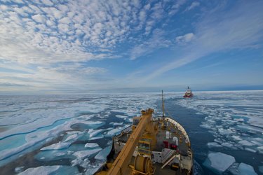
Satellites guide ships in icy waters through the cloud
07/11/2017
4854
views
49
likes
Read
Story
Applications
ESA takes the reins of the Disasters Charter
16/10/2017
5146
views
69
likes
Read
Story
Applications
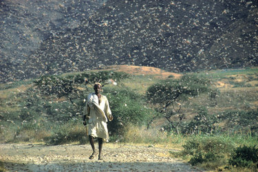
Satellites forewarn of locust plagues
13/06/2017
12058
views
112
likes
Read
Story
Applications
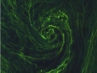
Near-shore phytoplankton bloom captured from space
08/06/2017
6894
views
62
likes
Read
Story
Applications
Satellites monitor landslide in the Alps
03/02/2017
6677
views
48
likes
Read
Story
Applications
Satellites confirm sinking of San Francisco tower
25/11/2016
92141
views
370
likes
Read
Story
Applications
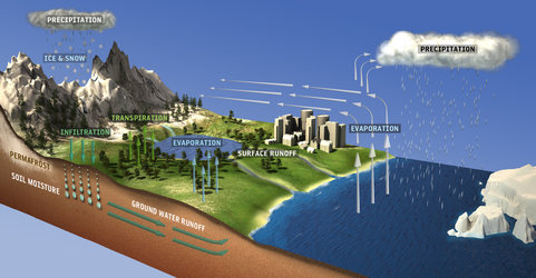
Space agencies combine efforts for space hydrology
11/11/2016
4086
views
40
likes
Read
Story
Applications
Sentinel-1 helping Cyclone Roanu relief
26/05/2016
6671
views
60
likes
Read
Story
Applications
Big shake next for air pollution satellite
25/09/2015
3873
views
38
likes
Read
Story
Applications
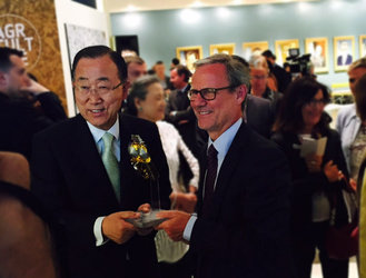
My Planet from Space exhibition draws special visitor
09/09/2015
2333
views
33
likes
Read
Story
Applications
Sentinel-2 catches eye of algal storm
04/09/2015
38853
views
127
likes
Read
More items
More
About securing our environment
Space & Environment Intelligence
Copernicus
Introducing Copernicus
International treaties implementation
Overview
Wetlands convention
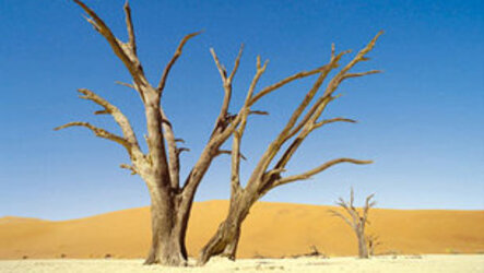
Combat Desertification convention
Kyoto Protocol
Safeguarding World Heritage sites
Overview
Gorilla habitats
Space & Public Safety
Civil protection assistance
Overview
Fire mapping
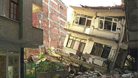
Earthquake rescue support
Flood monitoring
Pollution tracking
Humanitarian aid support
Overview
Epidemiology understanding
Overview
About Earth observation
What is Earth observation?
ESA for Earth
How to access data
Multimedia
Image gallery
Video gallery
Recommended
Focus on
Pollution tracking
Open
Focus on
Wetland convention
Open
Focus on
Earthquake rescue support
Open
Focus on
Combat Desertification convention
Open
Related
Focus on
Applications
Observing the Earth
Open
Focus on
Space for our climate
Open
European Space Agency
 Applications