Traces of the martian past in the Terby crater
The High Resolution Stereo Camera (HRSC) on board ESA’s Mars Express has returned striking scenes of the Terby crater on Mars. The region is of great scientific interest as it holds information on the role of water in the history of the planet.
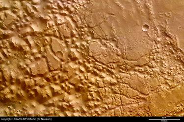
The image data was obtained on 13 April 2007 during orbit 4199, with a ground resolution of approximately 13 m/pixel. The Sun illuminates the scene from the west (from above in the image).

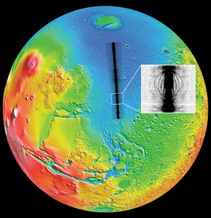
Terby crater lies at approximately 27° south and 74° east, at the northern edge of the Hellas Planitia impact basin in the southern hemisphere of Mars.

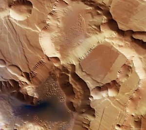
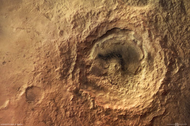
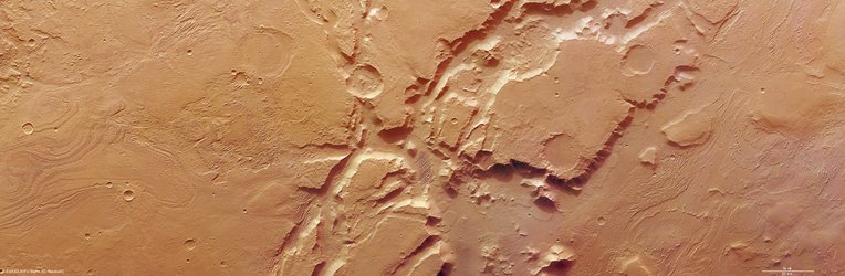
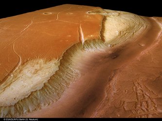
The crater, named after the Belgian astronomer Francois J. Terby (1846 – 1911), has a diameter of approximately 170 km. The scene shows a section of a second impact crater in the north.

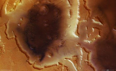
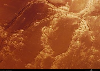
Eye-catching finger-shaped plateaux extend in the north-south direction. They rise up to 2000 m above the surrounding terrain. The relatively old crater was filled with sediments in the past, which formed plateaux on erosion.

The flanks of the plateaux clearly exhibit layering of different-coloured material. Differences in colour usually indicate changes in the composition of the material and such layering is called ‘bedding’. Bedding structures are typical of sedimentary rock, which has been deposited either by wind or water. Different rock layers erode differently, forming terraces.

The valleys exhibit gullies, or channels cut in the ground by running liquid, mainly in the northern part of the image. These gullies and the rock-bedding structure indicate that the region has been affected by water.

The sediments in this region are interesting to study because they contain information on the role of water in the history of the planet. This is one of the reasons why Terby crater was originally short listed as one of 33 possible landing sites for NASA’s Mars Science Laboratory mission, planned for launch in 2009.

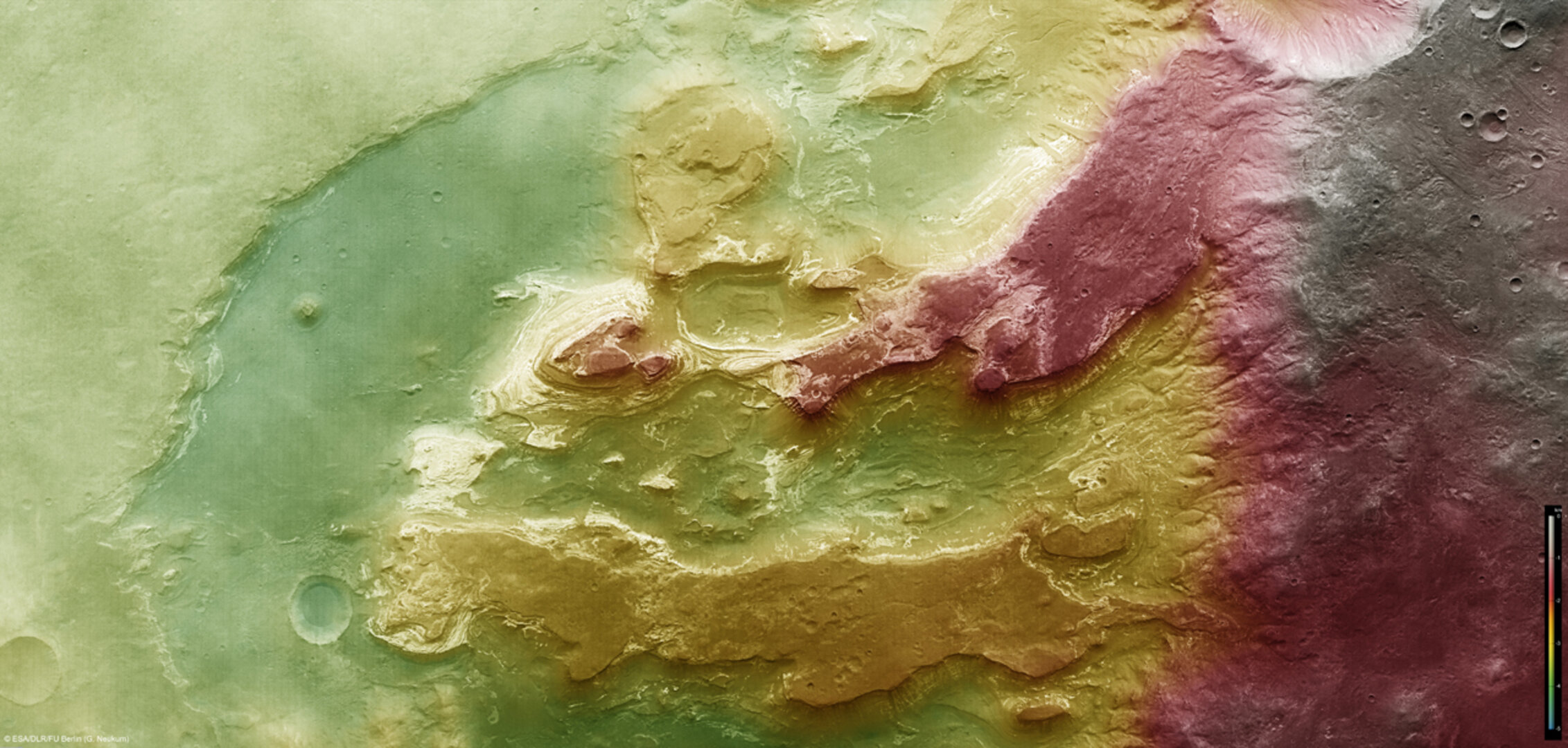
The colour scenes have been derived from the three HRSC colour channels and the nadir channel. The perspective views have been calculated from the digital terrain model derived from the HRSC stereo channels. The 3D anaglyph image was calculated from the nadir channel and one stereo channel, stereoscopic glasses are required for viewing.
For more information on Mars Express HRSC images, please read our updated FAQ (frequently asked questions).