Germany
 Austria
 Belgium
 Denmark
 Spain
Spain
 Estonia
 Finland
 France
 Greece
 Hungary
 Ireland
 Italy
Italy
 Luxembourg
 Norway
 The Netherlands
 Poland
 Portugal
 Czechia
 Romania
 United Kingdom
 Slovenia
 Sweden
 Switzerland


Head of the Earth Explorer Payload Data Ground Segment Projects Office: Interview with Pascal Gilles
Pascal Gilles heads the Earth Explorer Payload Data Ground Segment Projects Office, which is in charge of developing the Payload Ground Segments for all of ESA’s Earth Explorer missions.
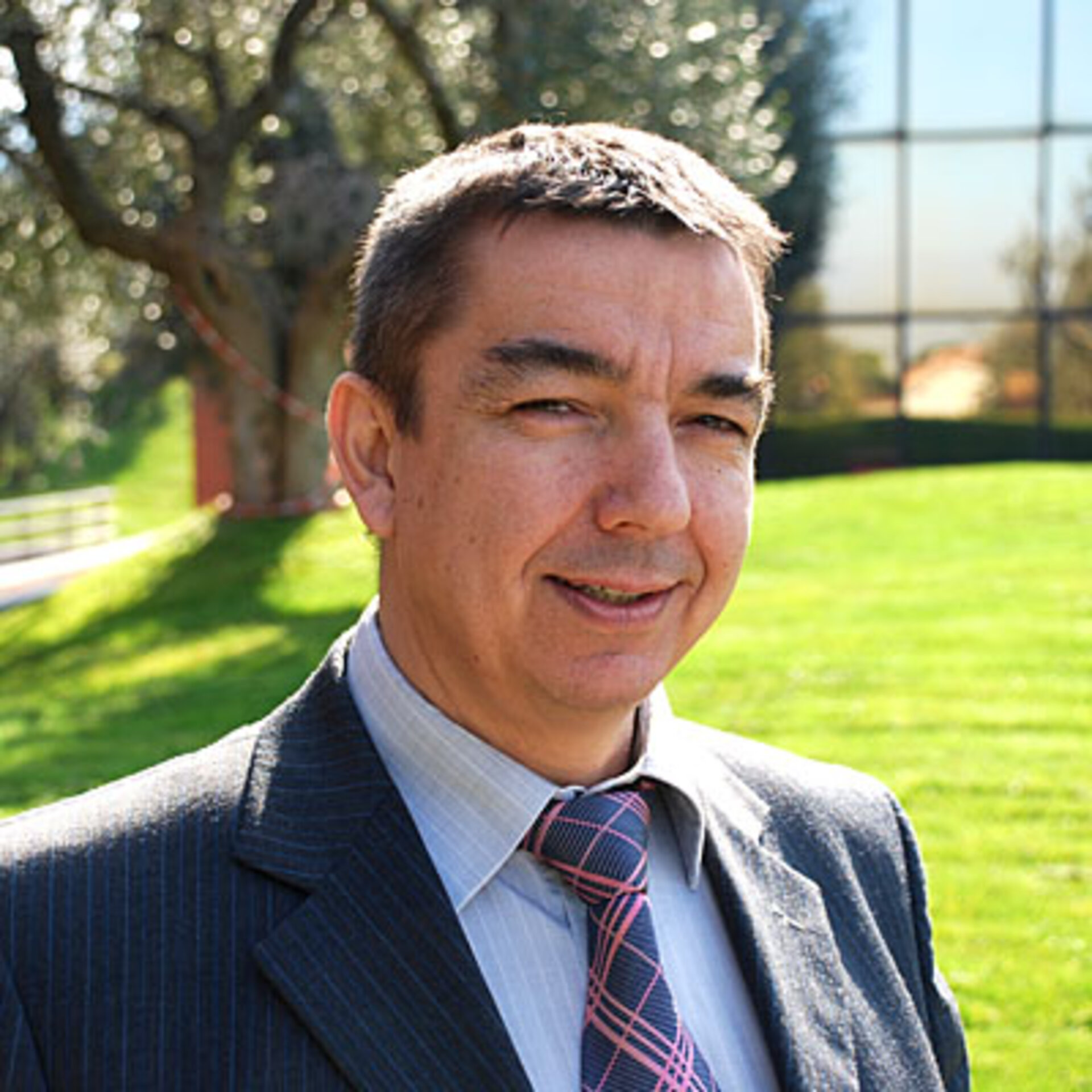
Gilles, a French national, moved from the Direction de la Meteorologie Nationale in France to ESA’s European Space Operations Centre (ESOC) in Germany in 1984 to work on quality control for Meteosat data. In 1987, he moved to ESA’s Centre for Earth Observation (ESRIN) in Frascati, Italy, to assume the role of Head of Quality Control Services.
In 1994, he began working on the Envisat mission. Following the successful launch of Envisat in 2002, he assumed the role of Operations Manager, a role he continued to fulfil while serving as CryoSat Mission Manager. He was appointed to his current role in 2008.
Gilles earned his degree in Atmospheric Physics from the Ecole Nationale de la Météorologie in France.
ESA: What role does the Payload Data Ground Segment (PDGS) play in the GOCE mission?
Pascal Gilles
The PDGS for GOCE supports all the functions needed to plan the payload activity and calibrate the onboard instruments. It also implements the required infrastructure to acquire raw data and process them to high level products that are archived and distributed to the user community after proper quality control. In addition, it carries out the functions necessary to monitor the performance of the PDGS itself, the overall mission and, in particular, the behaviour of the onboard instruments.
ESA: What challenges has the team faced in terms of data processing and distribution?
Pascal Gilles
The precision achieved by the onboard gradiometer measurements is of is unprecedented accuracy. Thus, it is necessary that the data processing preserves this high level of accuracy throughout the process and extends it to the final products – the gravity gradients (gravitational acceleration change).
In this respect, two parts of the processing are especially challenging: the gradiometer calibration and the gradiometer nominal data processing, where the measurements of the star cameras and the gradiometer have to be combined in an ‘intelligent way’ to yield the gravity gradients.
ESA: As the first Earth Explorer (EE) mission, will the groundwork laid for GOCE data be used for other EE missions?
Pascal Gilles
The GOCE PDGS development has led to the implementation of a highly innovative and powerful data management infrastructure design that guarantees optimal resource management and best performance for data products generation, archiving and distribution to the scientific community.
Indeed, both the GOCE PDGS architectural design and the corresponding implemented sub-systems are being considered for reuse in the on-going current developments of the PDGS for AEOLUS and CryoSat. It is the strategy of the EOP-G Department to exploit commonalities of functions between missions (like archiving, catalogues, order handling, etc) for the benefit of users and to increase the management and cost efficiency of the operations.
ESA: Who will be the main users of GOCE data?
Pascal Gilles
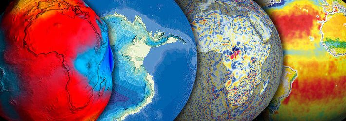
The main data users originate from four different scientific communities: Geodesy, Oceanography, Glaciology and Geophysics.
The geodesists will transform the raw instrument measurements into the main product of the GOCE mission, namely the steady state (mean) gravity field. However, depending on the instrument performance, it may also be possible that monthly gravity fields are produced. The derived gravity fields will then used by the other disciplines.
Oceanographers will be able to study for the first time, on a global scale, the ocean circulation and the corresponding mass and heat transport. Glaciologists may investigate ice thickness and mass transport using the gravity anomalies derived from the GOCE data. Geophysicists will acquire knowledge about the interior of Earth, such as the mass and density distribution.
ESA: How will GOCE data be delivered to users?
Pascal Gilles
The authorised users will access the GOCE data through the dedicated GOCE PDGS Multi Mission User Service sub-system, which will enable them to access the required products online in an easy, user-friendly way.
ESA: What is your involvement over the lifetime of the GOCE mission?
Pascal Gilles
The Earth Explorers PDGS projects Office is in charge of the design, implementation and validation of the payload ground segment and of its successful contribution to the overall ground segment validation. Traditionally, our role ends with the Commissioning Review and the handover of the payload ground segment to the operations teams.
However, given the particular nature of the GOCE mission, we will continue to ensure the payload ground segment operations and maintenance management for the lifetime of the mission, in direct support to the Mission Manager.
ESA: What has been the most rewarding aspect of being involved with the GOCE mission?
Pascal Gilles
The most rewarding aspect has been being able to contribute to something unique, something that has never been seen before and that is surfing on the edge of the current technology borderline.
Every day is full of surprises and presents new challenges, forcing everyone to go beyond their own limits and constantly increase their knowledge and competence.
Editor's note:
This is one in a series of interviews with a few of the key people that are involved in the GOCE mission. Please check back as the list will be added to over the coming weeks.